You will find many lookouts during your visit on Oahu. Some of them don’t worth the detour but others must be on your ” to do list “ . Offering breathtaking views, it would be a shame to miss them. In this selection, these vantage points are easily accessible by car. So with minimal efforts to get there you have no excuses !
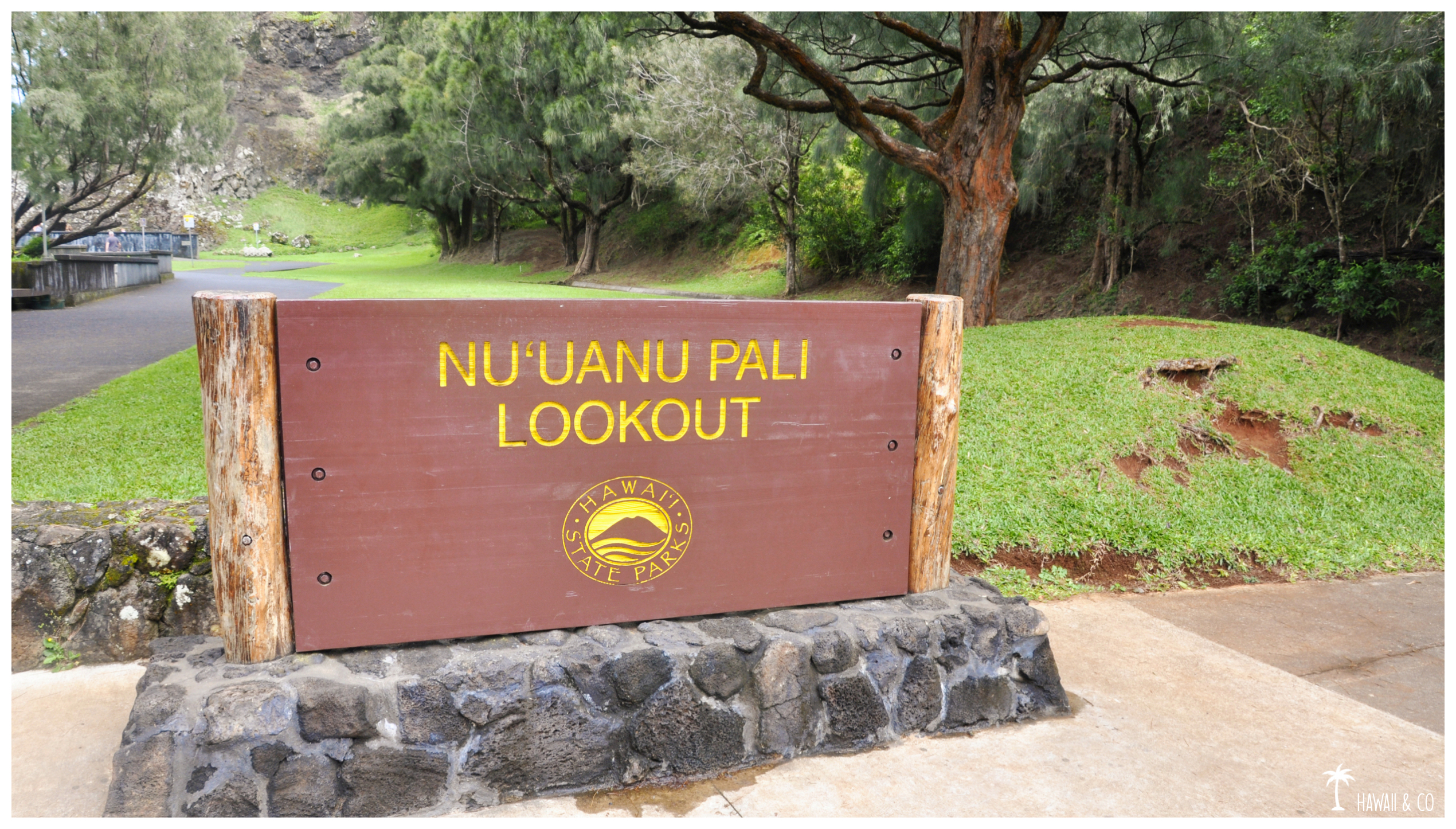
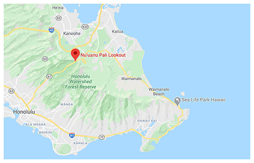
“Pali” means cliff in Hawaiian. So you’ll find this lookout at the top of a 1200 foot high cliff between Honolulu and Oahu’s windward coast. From Kailua to Chinaman’s hat you will have a panoramic view of a large stretch of Oahu’s east shore. Be careful, the Pali lookout is known for his strong winds so hold on your cap !
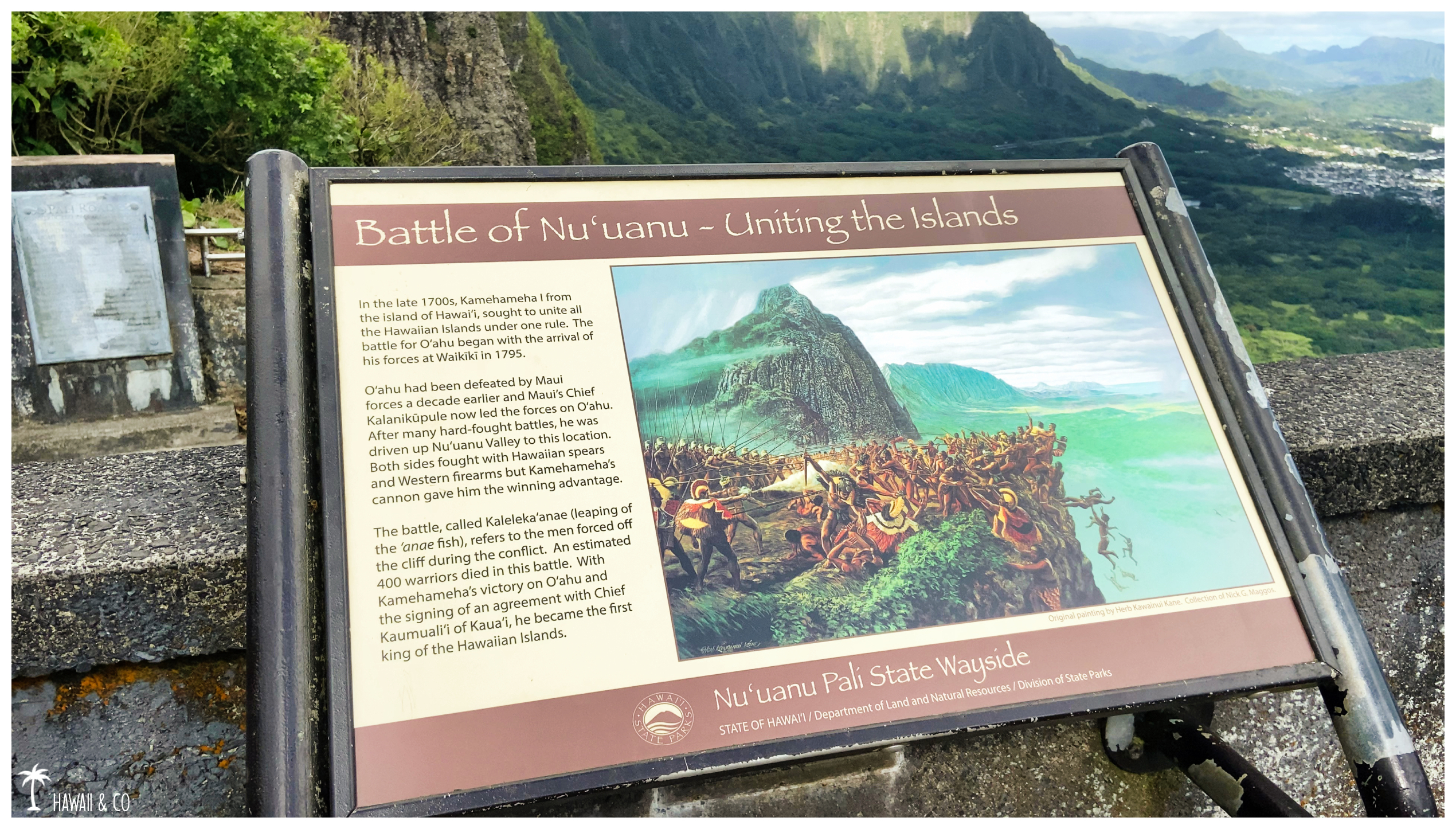
This place is also an historical landmark. In 1795 Kamehameha the Great conquered the island of Oahu after a bloody battle. Refusing to surrender, hundreds of warriors jumped over the cliff. Legend says you can still hear the screams of the warriors.
Informations
100 m
15 minutes
From Honolulu, take the H-1 freeway to the Pali Highway ( route 61 ). Once on the Pali watch for the sign to the Lookout.
There is a $7 parking fee ( except for Hawaiian residents ).
Makapu’u Lookout
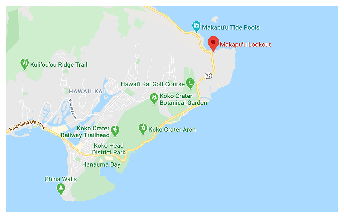
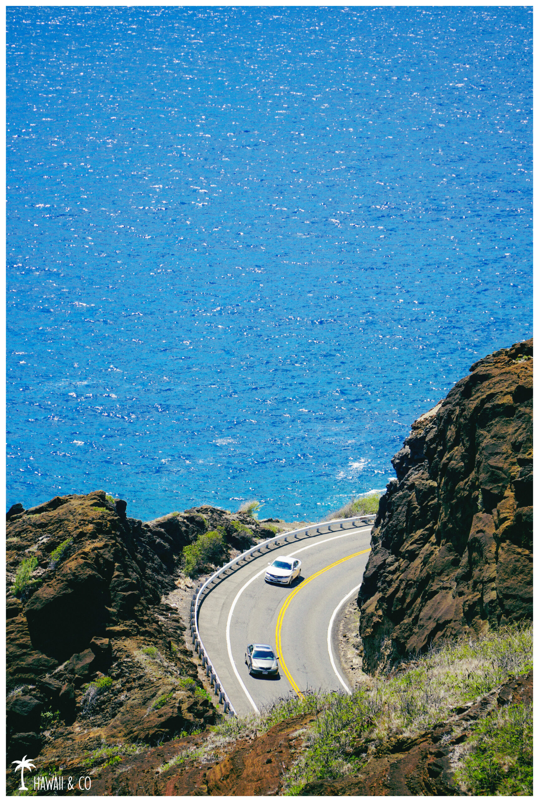
Located along the Kalaniana’ole Highway ( route 72 ) just after the entrance to the Makapu’u Lighthouse Trail, the Makapu’u lookout will offer you a panoramic view of Oahu’s Southeastern shoreline. From here the view is amazing. Not only you overlook the ocean and its turquoise waters, but you also have a breathtaking view of Makapu’u Beach as well as the islets of Rabbit Island (Manana) and Kaohikaipu.
If you’re lucky you may see some turtles swimming.
And you can even spot umpack whales during the winter months You are also here on a famous paragliding spot and not far from their landing zone so look above your head !
Informations
100 m
20 minutes
Take Highway 72 towards Sea Life Park. Follow the sign to this his scenic point.
Parking is free but limited to 20 minutes.
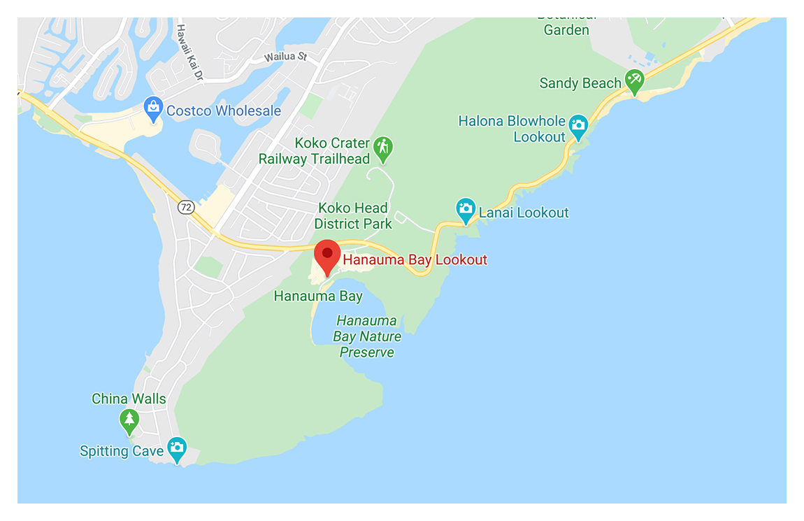
Hanauma Bay Lookout
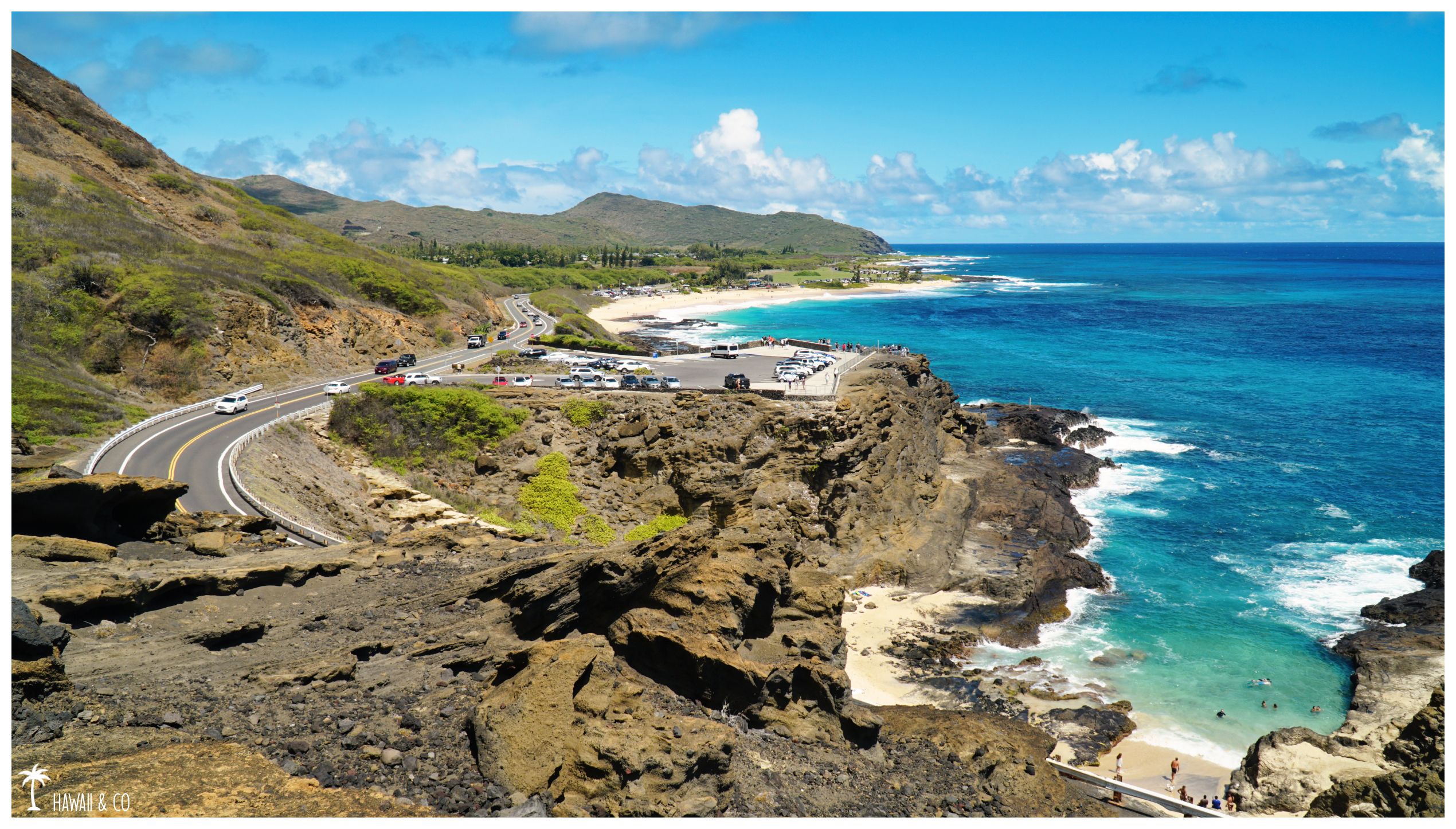
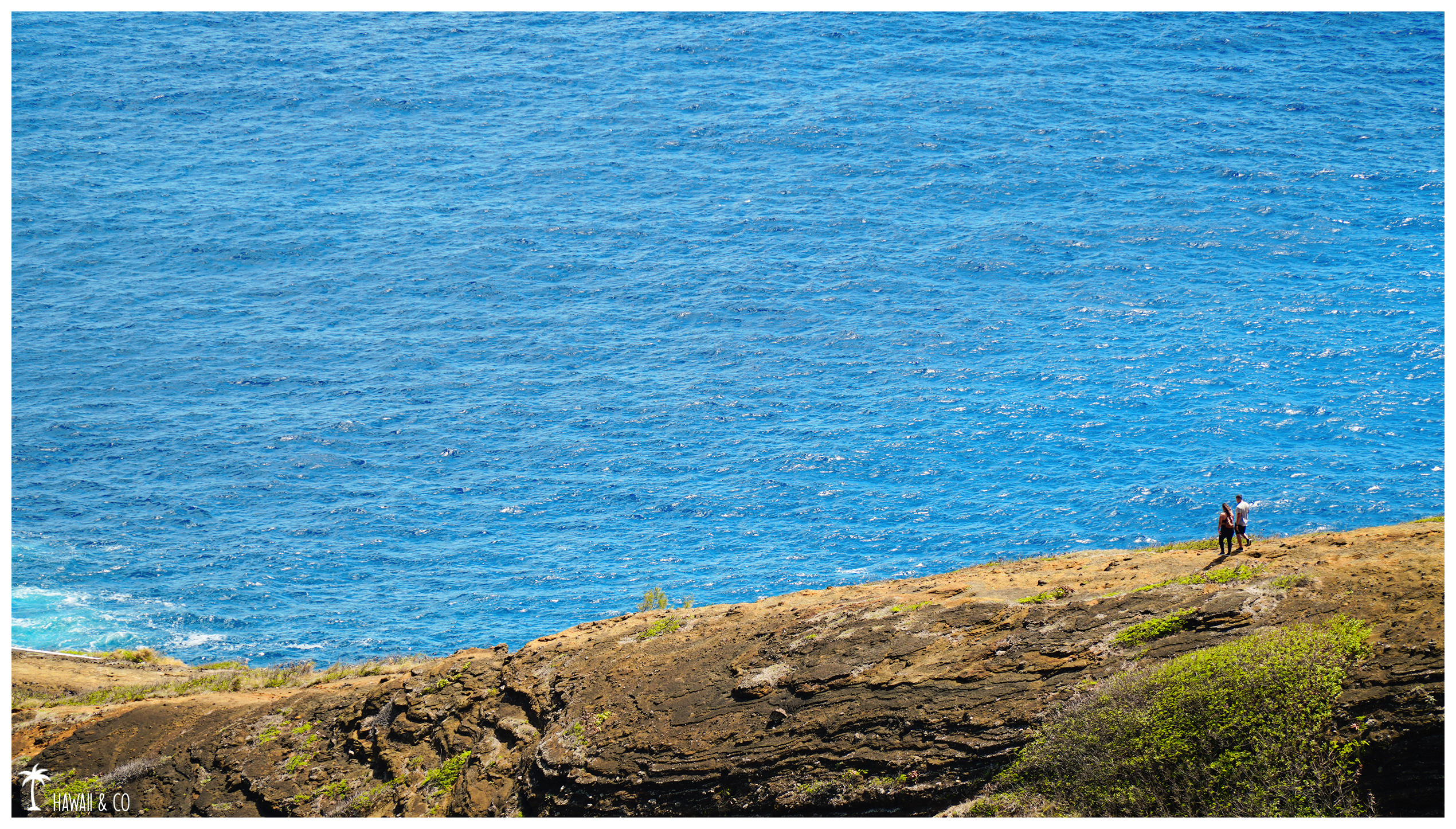
The Hanauma Bay lookout is often forgotten because few people knows that it is possible to enjoy a breathtaking view of the bay without paying the $25 entrance fee. This nature preserve was once a volcanic crater, part of which has subsided, creating the current bay. Turquoise waters, huge coral reef, white sand beach, palm trees … and hundreds of tourists: welcome to one of Oahu’s most visited places.
Informations
200 m
30 minutes ( this is so nice ! )
Take the Kalaniana’ole Highway ( Route 72 ) eastbound to Hawaii Kai. The entrance will be on your right just after the Koko Head lookout.
Parking fee is $3 but refunded if you stay less than 15 minutes. Open from 6:45 a.m. to 4 p.m.
Closed every Mondays & Tuesday and on Christmas Day & New Year’s Day.
If possible, park your car at the end of the parking, you will be closer to the access to the two lookouts. As the car park fills up very quickly feel free to come back in the afternoon
Halona Blowhole Lookout
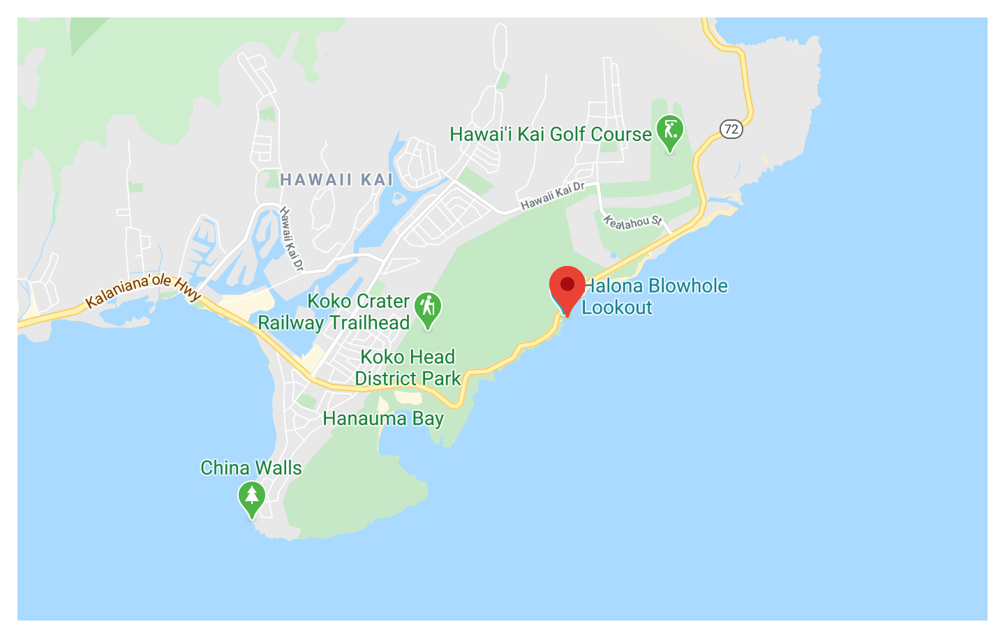
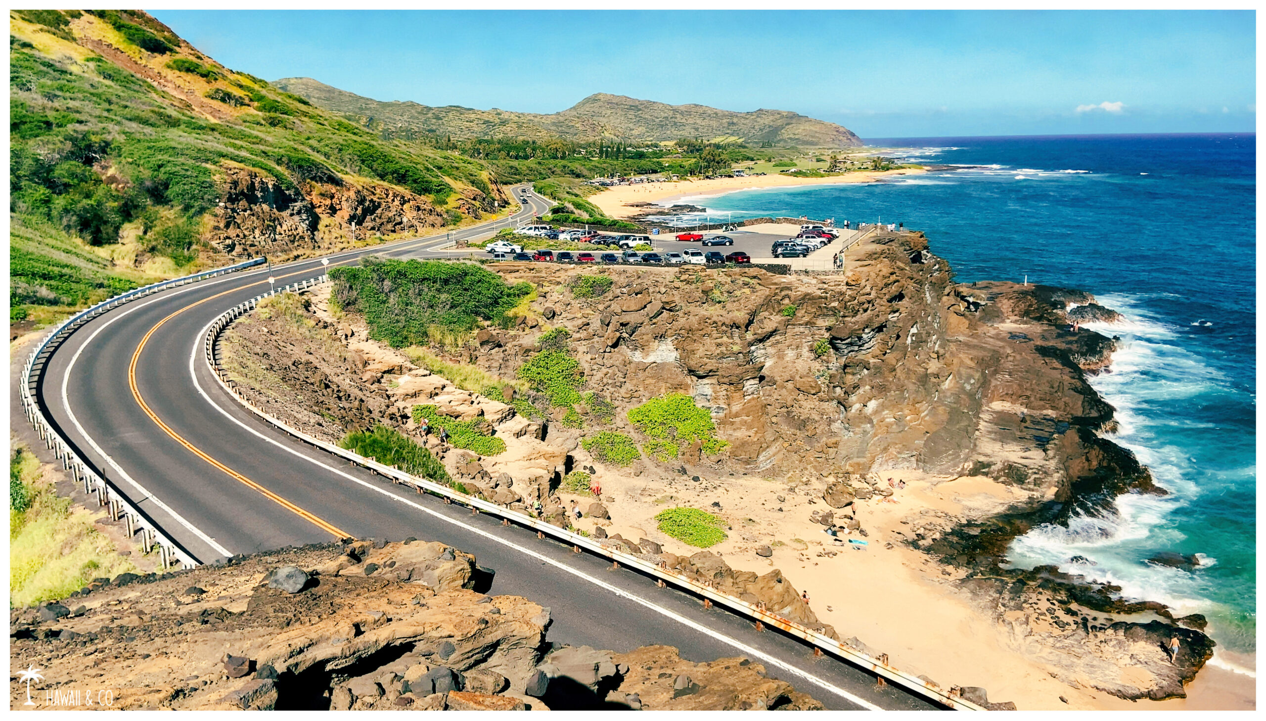
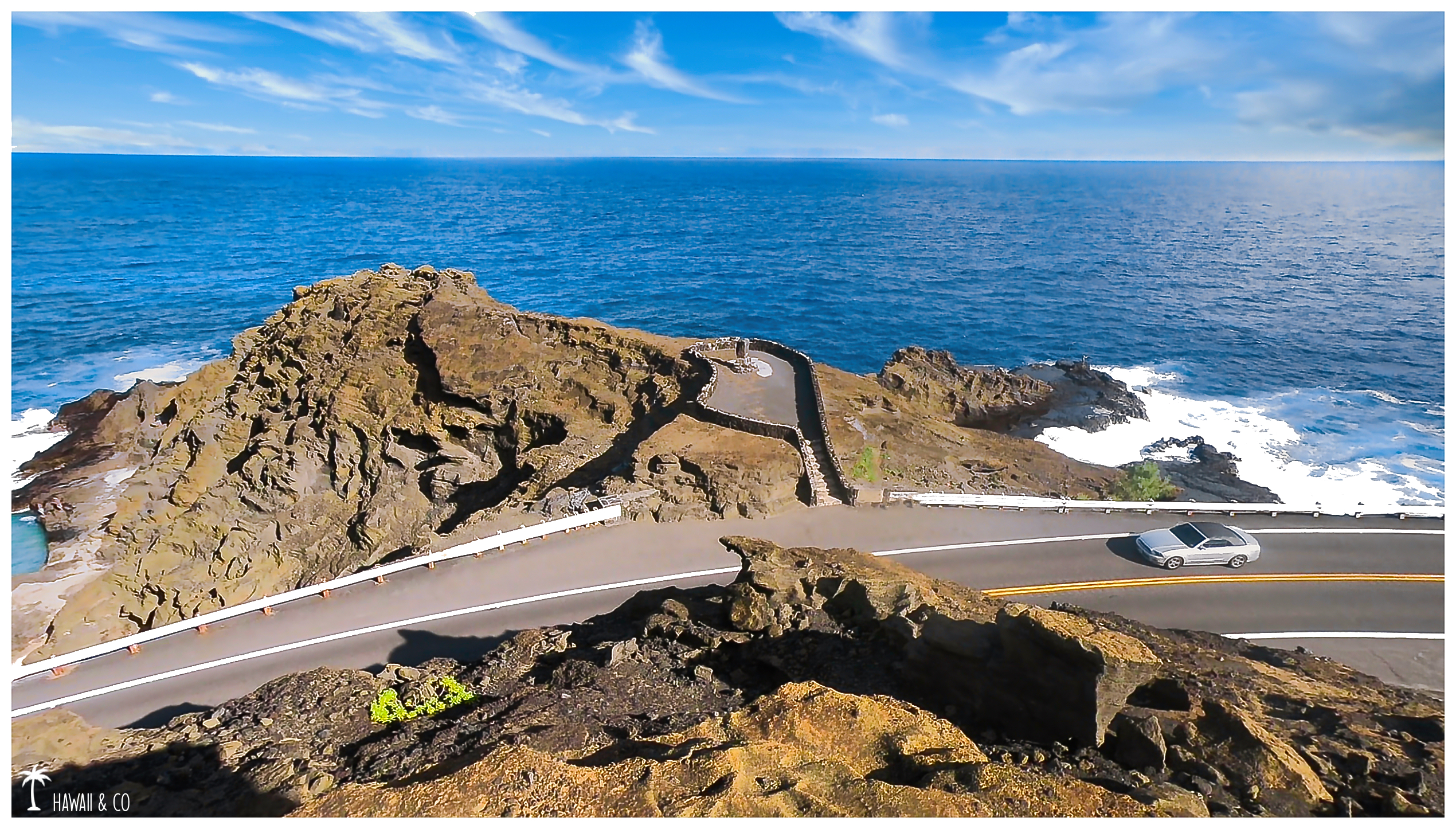
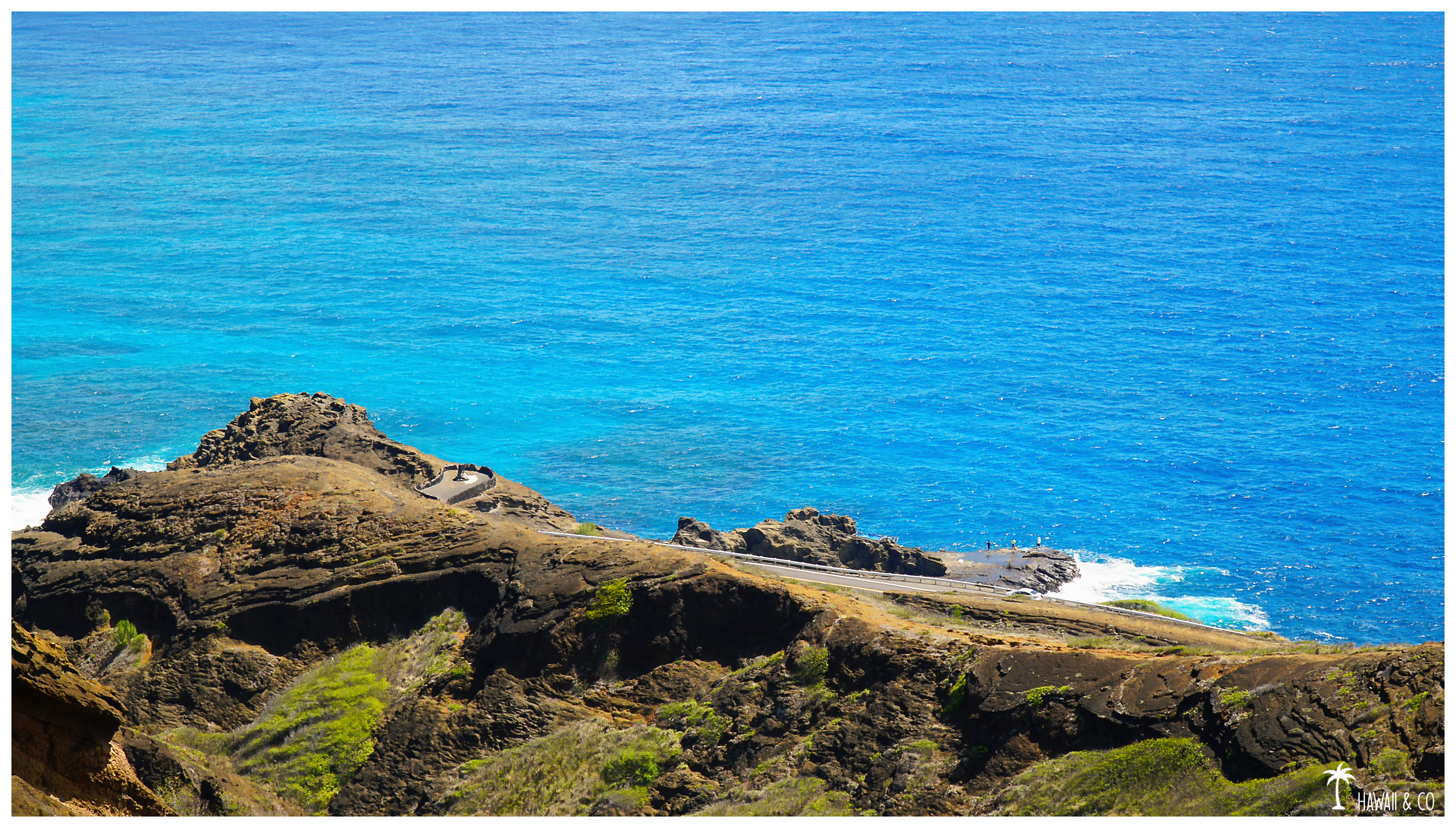
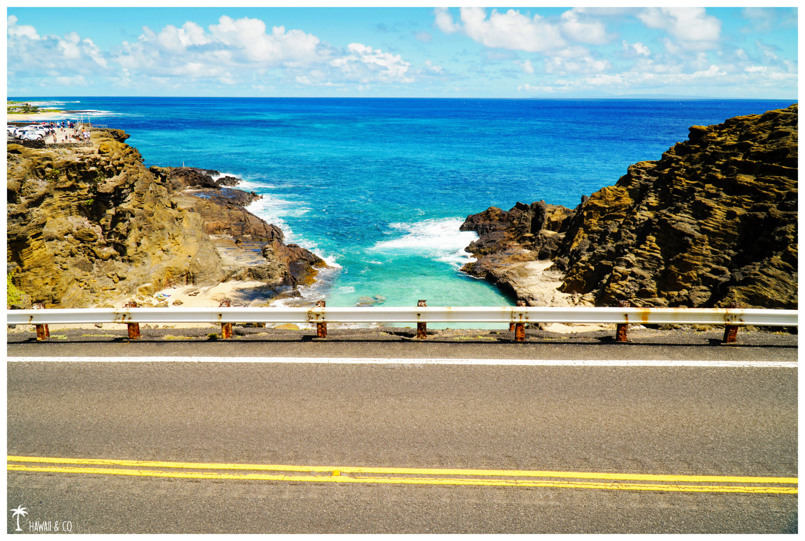
The Halona Blowhole Lookout, also located along the Kalaniana’ole Highway is worth a visit. As its name suggests, the attraction of this lookout is the blowhole. It’s an underwater lava tube with an small hole on the rocky shelf. When the water enters the tube, the pressure increases and the water shoots up into the air sometimes up to 30 feet like a geyser ! Off course this is when the waves are high that the jet is the more impressive.
From the lookout you will also have an amazing view of Halona Beach Cove. Also known as Cockroach Cove or Eternity Beach ( from the popular movie From here to Eternity ) this is a small beach that is worth a visit. An easy access is possible via some rocky steps. And if you have time, don’t miss the lava tube. Entrance is on the beach and can be explored. You will then come out on the other side of the road ! Just be aware that you’ll have to squat down to do the last few meters.
Informations
50 m
15 minutes. More if you go down to the beach.
On Kalaniana’ole Highway ( route 72 ) close to Sandy Beach. You can’t miss it !
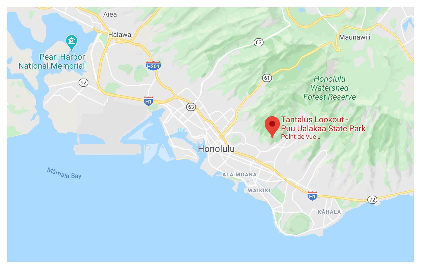
Pu’u Ualaka’a State Park aka Tantalus lookout
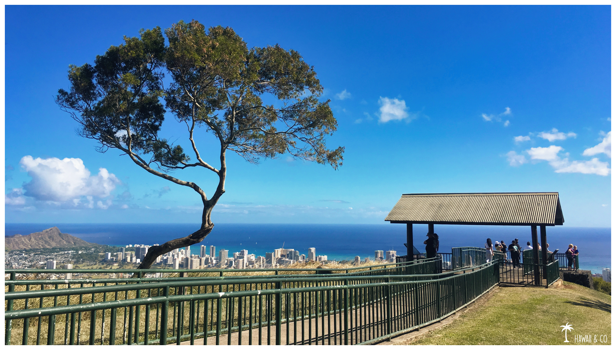
Unlike the previous lookouts, the panorama will be more urban. Located at the top of Mount Tantalus, the Tantalus Lookout offers fantastic views of Honolulu, from Diamond Head to the airport’s runways.
The road to the lookout, the Round Top Drive, is a beautiful drive and gives you a taste of what to expect up there.
A huge lawn allows you to rest and appreciate the scenery. This is the perfect place for a picnic or to watch the sunset and the city lights.
Informations
100 m
20 minutes
This lookout is located at the end of the Pu’u ‘Ualaka’a State Wayside Park.
Parking is free but limited ( only 10 cars ) but more spaces are available at the picnic shelter. An access will allows you to reach the lookout in a few minutes. Gates are open from 7:00 a.m until 7:45 p.m in summer months and until 6:45 p.m during winter.
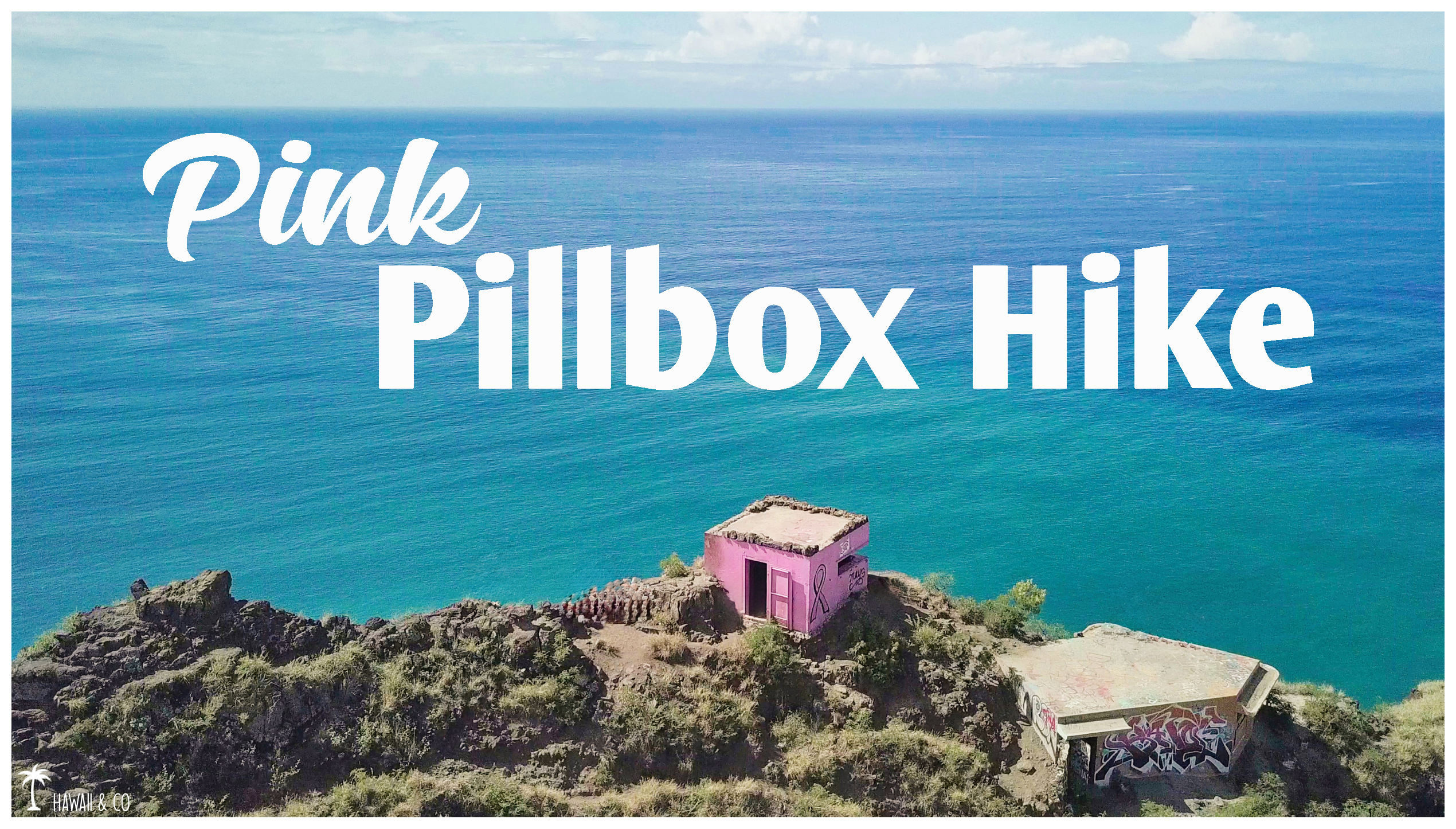
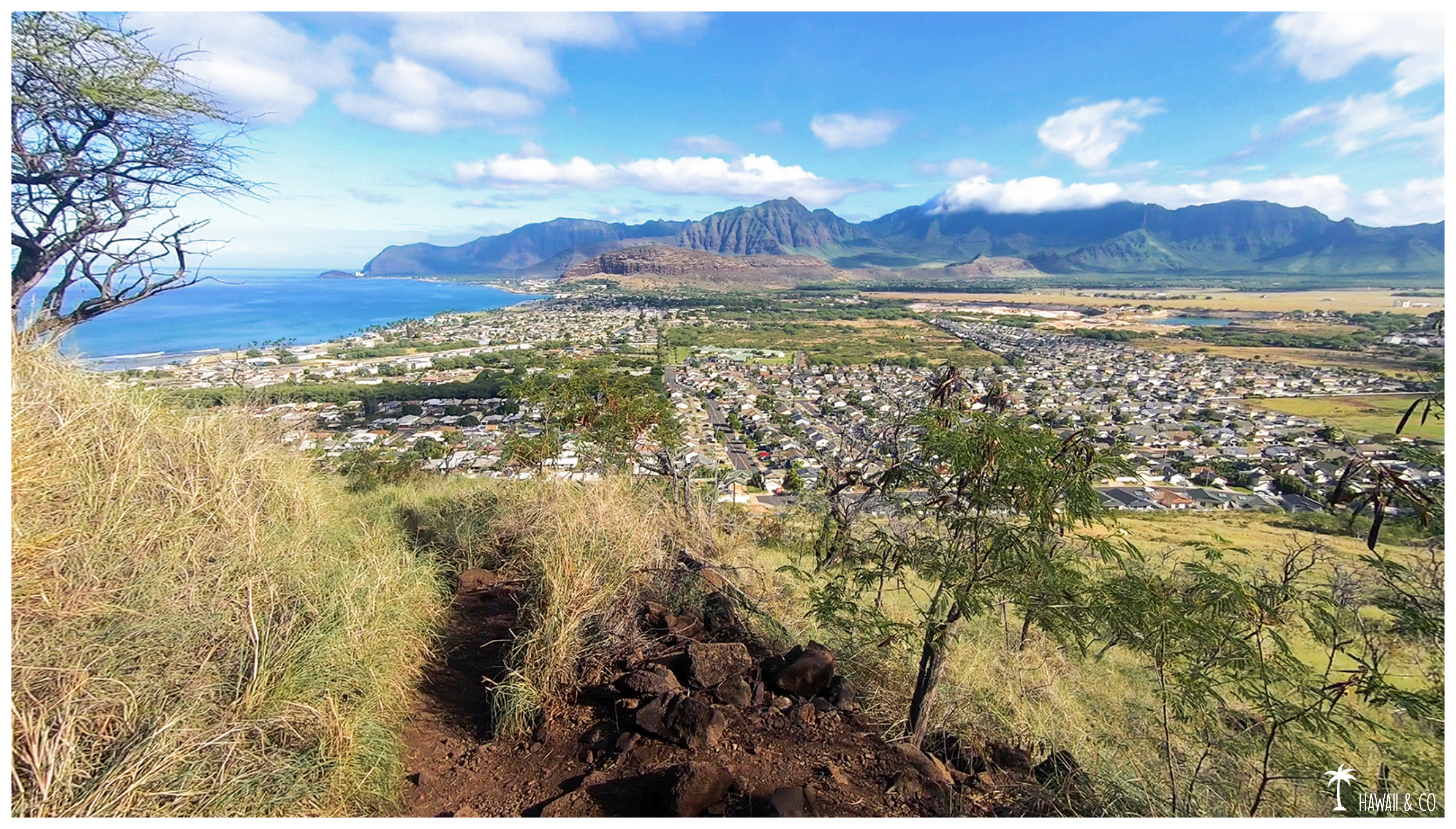
The Pink Pillbox Hike will allow you to discover one of the most beautiful places on the leeward side of the island. This hike is also called Pu’u O Hulu Hike because of this small ridge that separates the cities of Nanakuli and Ma’ili,
This part of Oahu deserves to spend at least a day for visiting.So let’s start with a little hike as a warm up !
And once at the top, the 360° breathtaking view of the ocean and the surrounding mountains will quickly make you forget the one hour drive from Honolulu.
You will even be able to choose between two itineraries. The first one, easier, winds along the mountain. It is well maintained and easy to follow while the second, more straight, will be more challenging but perfect as a cardio exercise !
Personally, I took the easy one, ignoring about the second one until I met a group of hikers during the descent. Anyway, the first one is fine for me ! 🤣
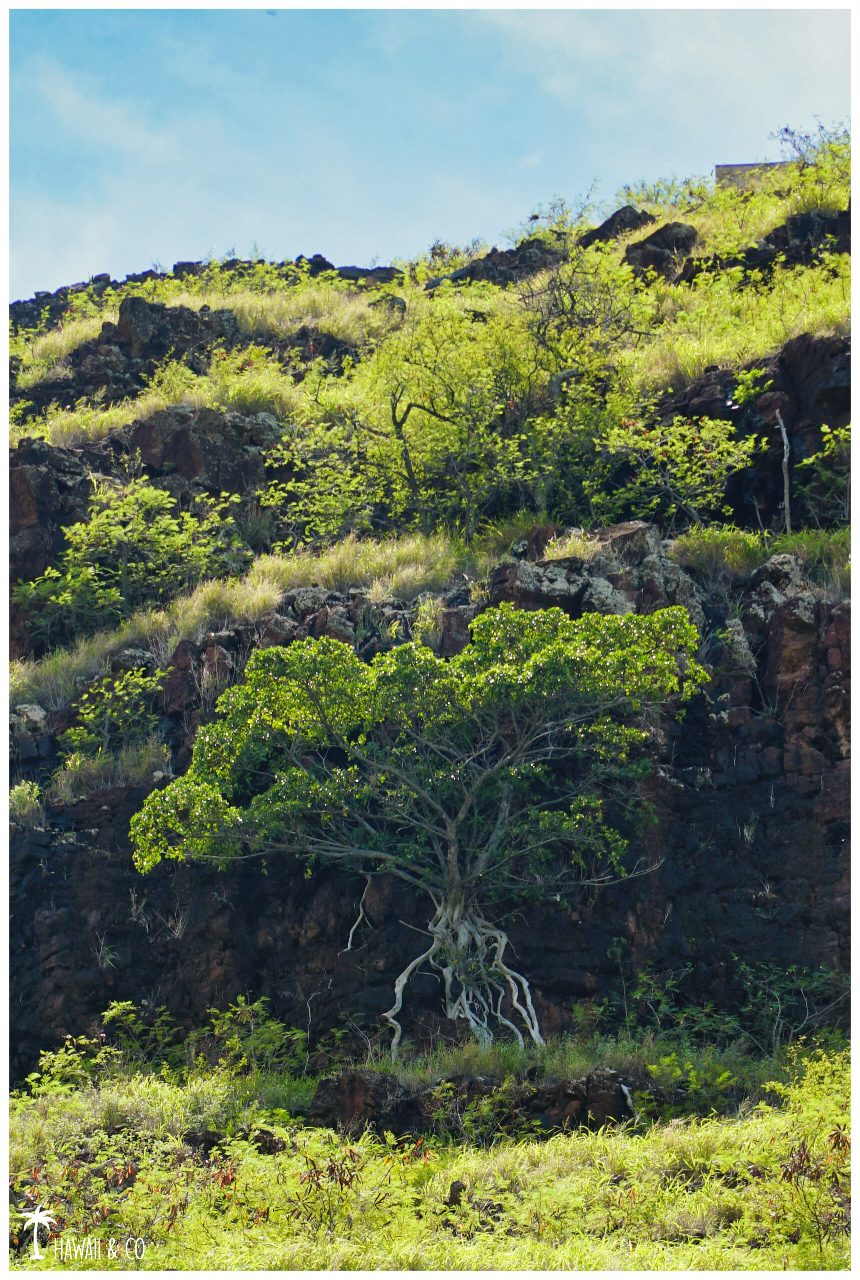
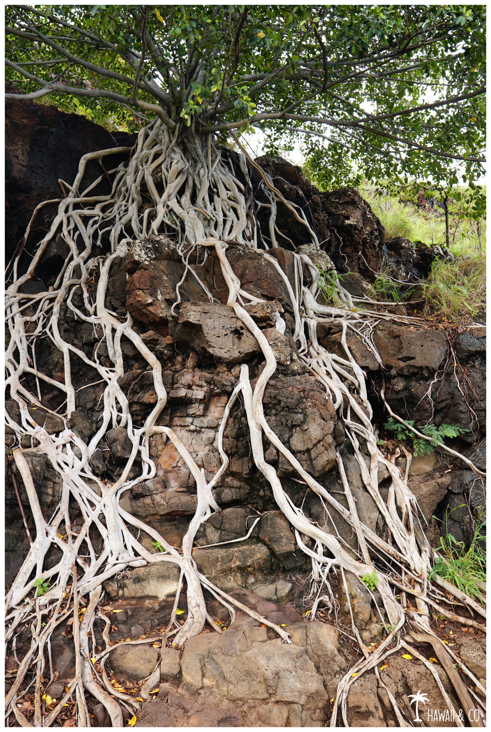
About halfway, you will pass an incredible tree with endless roots.
This is the perfect place for a short break.
Fortunately the hardest part is behind you: the trail then becomes less steep as you approach the summit.
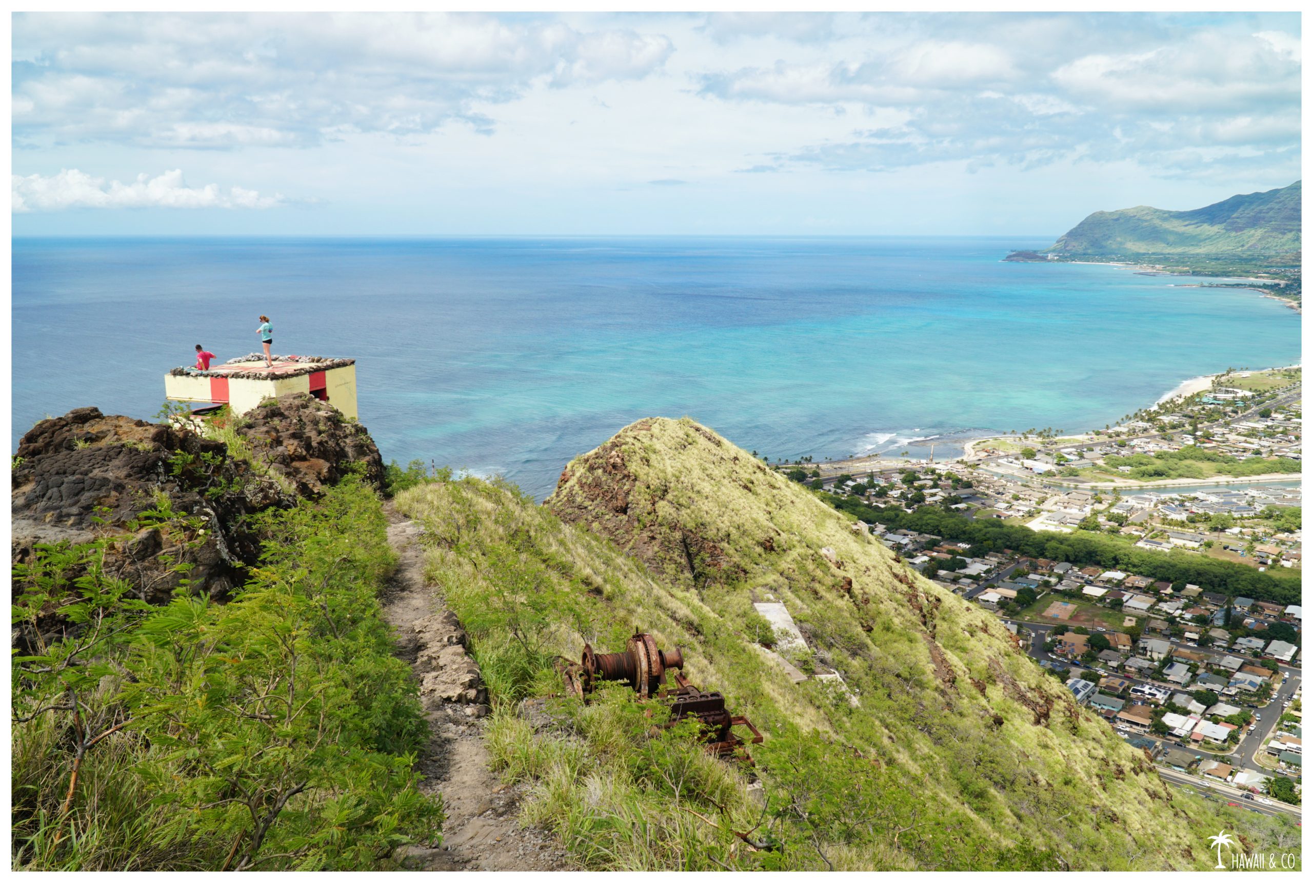
And the view is getting spectacular … you’re almost there !
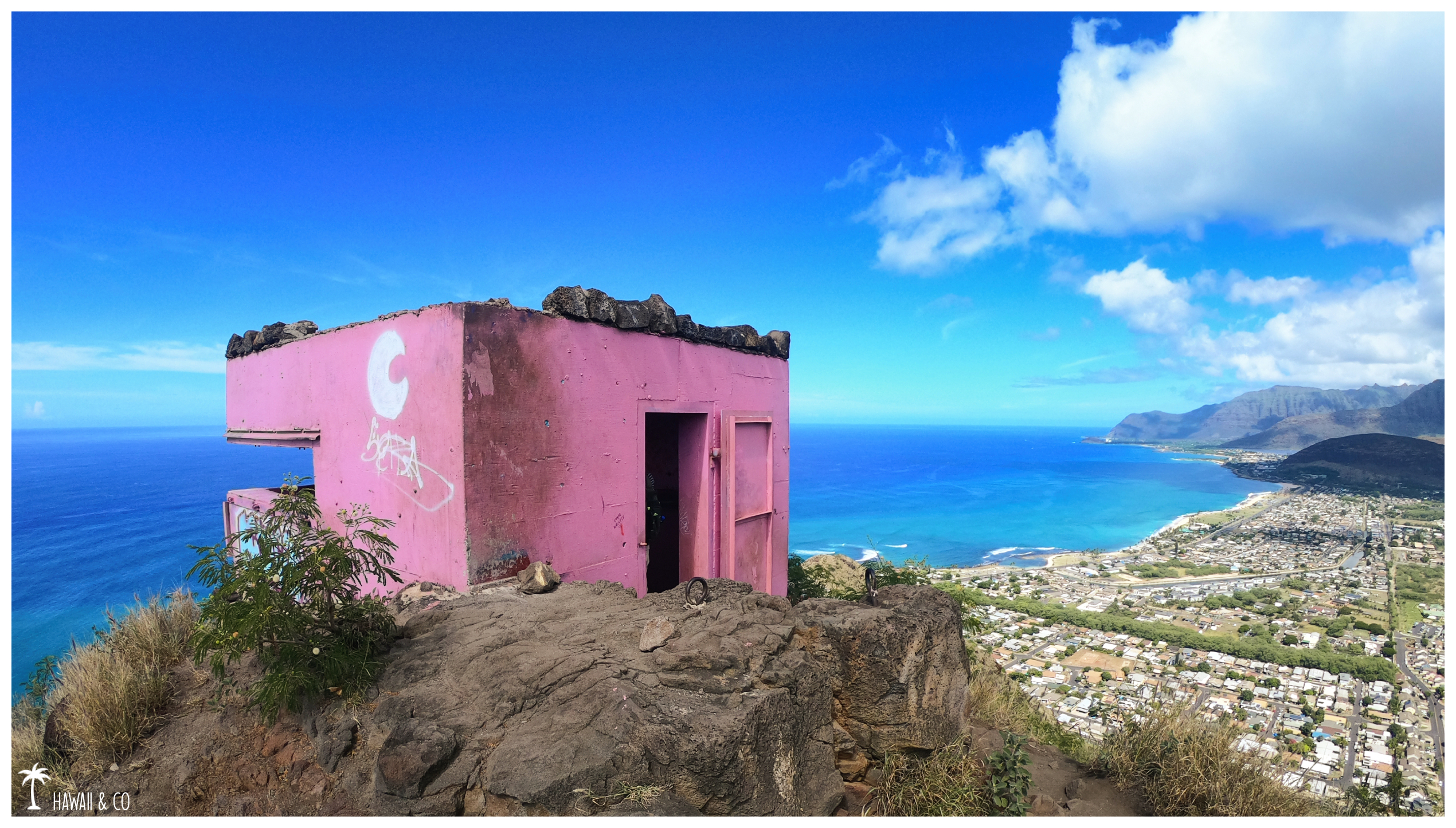
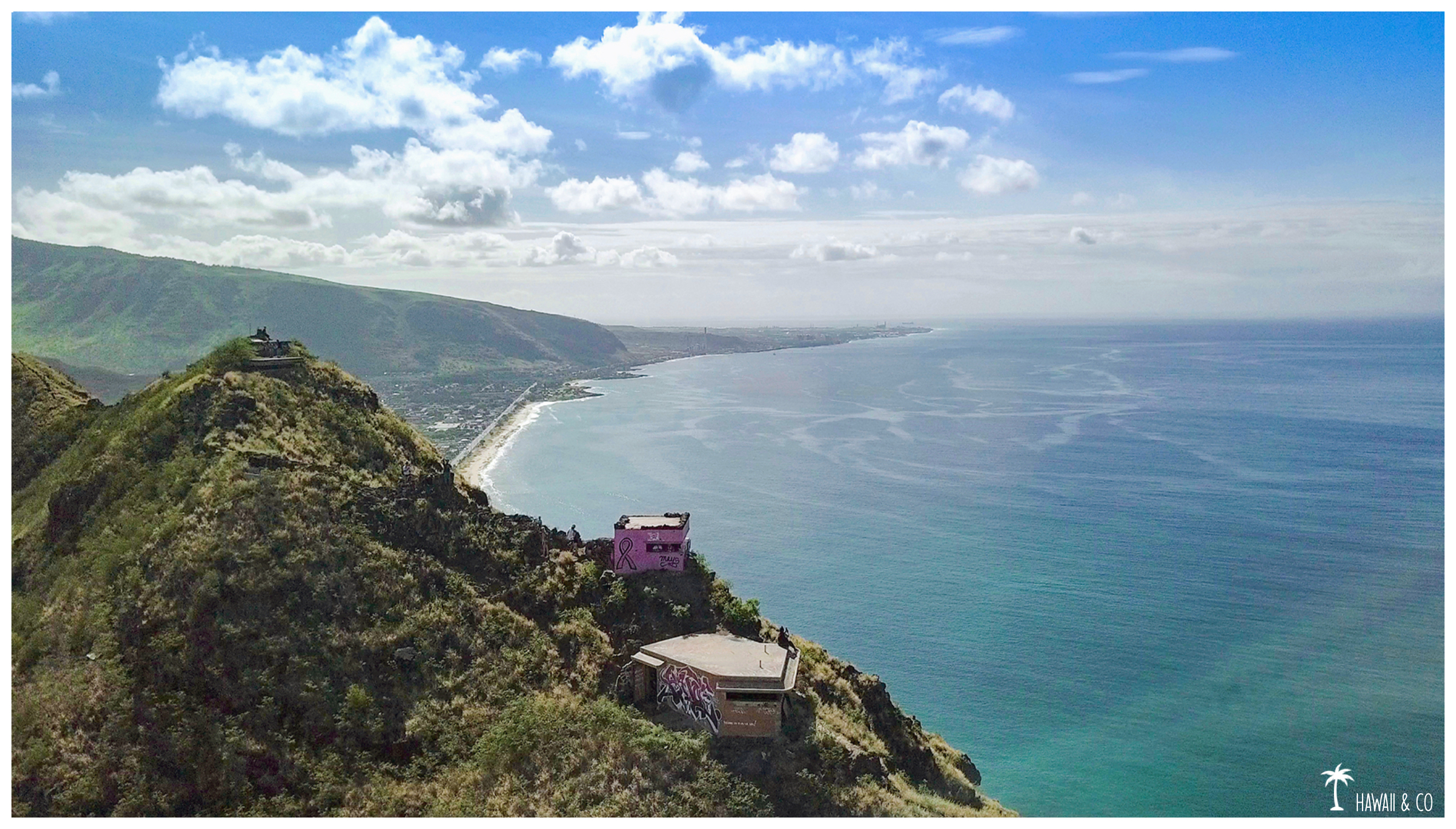
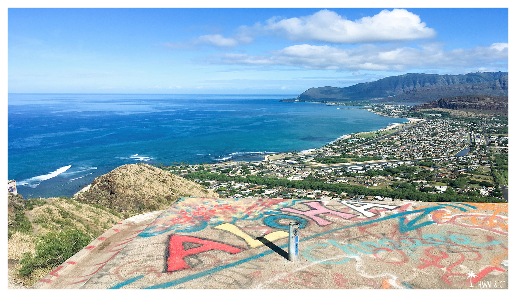
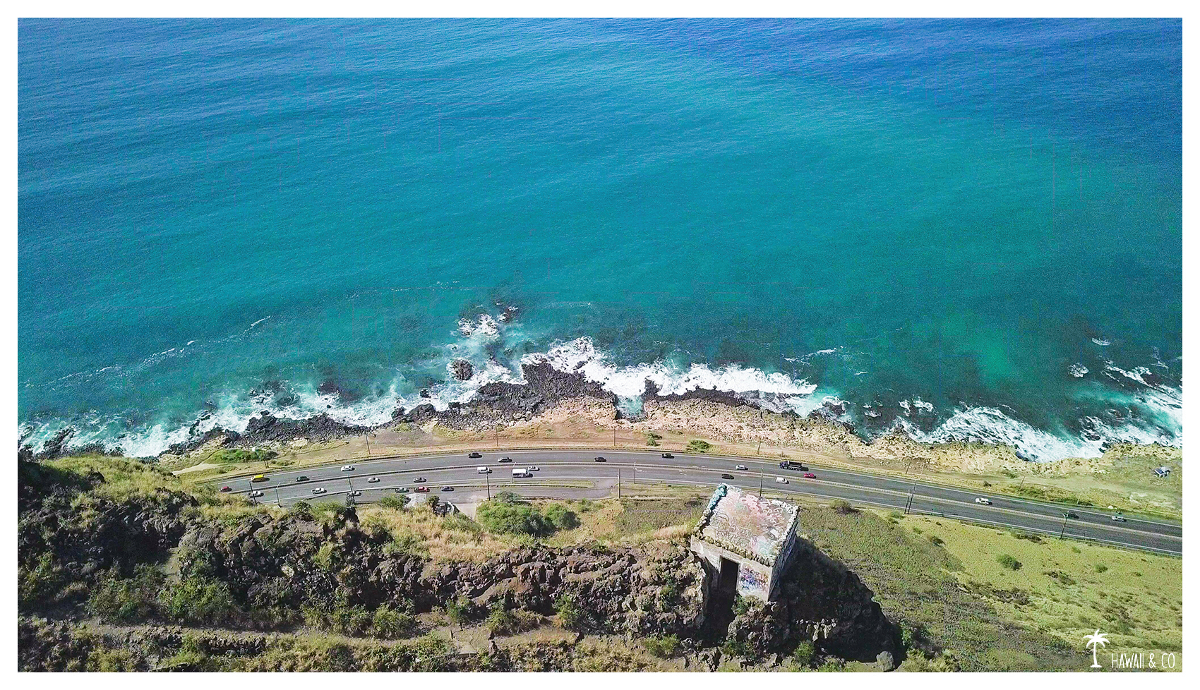
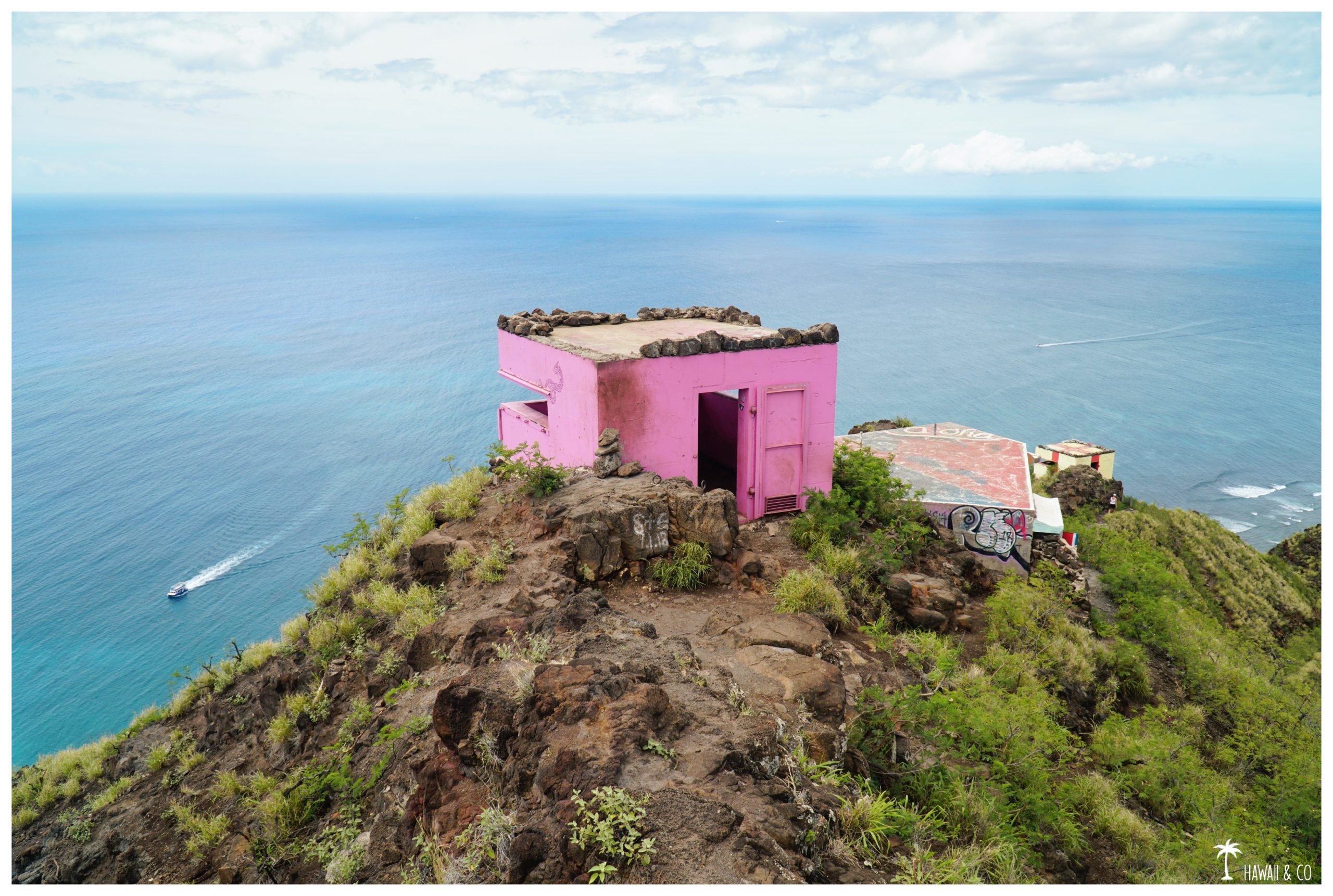
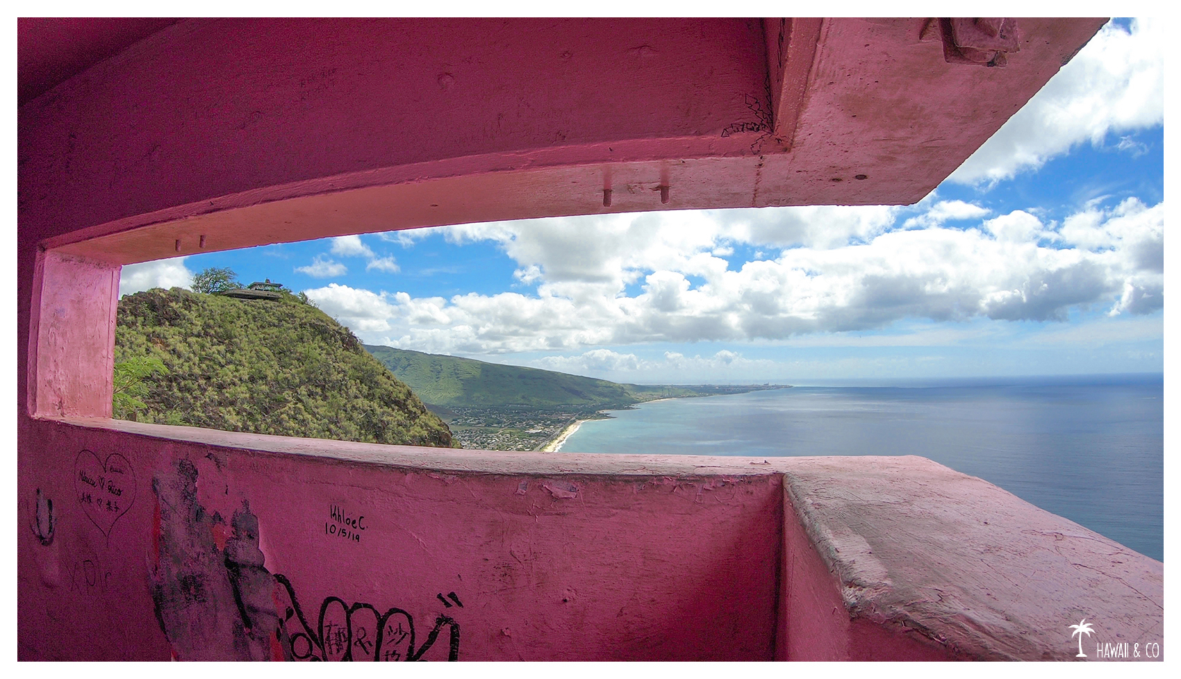
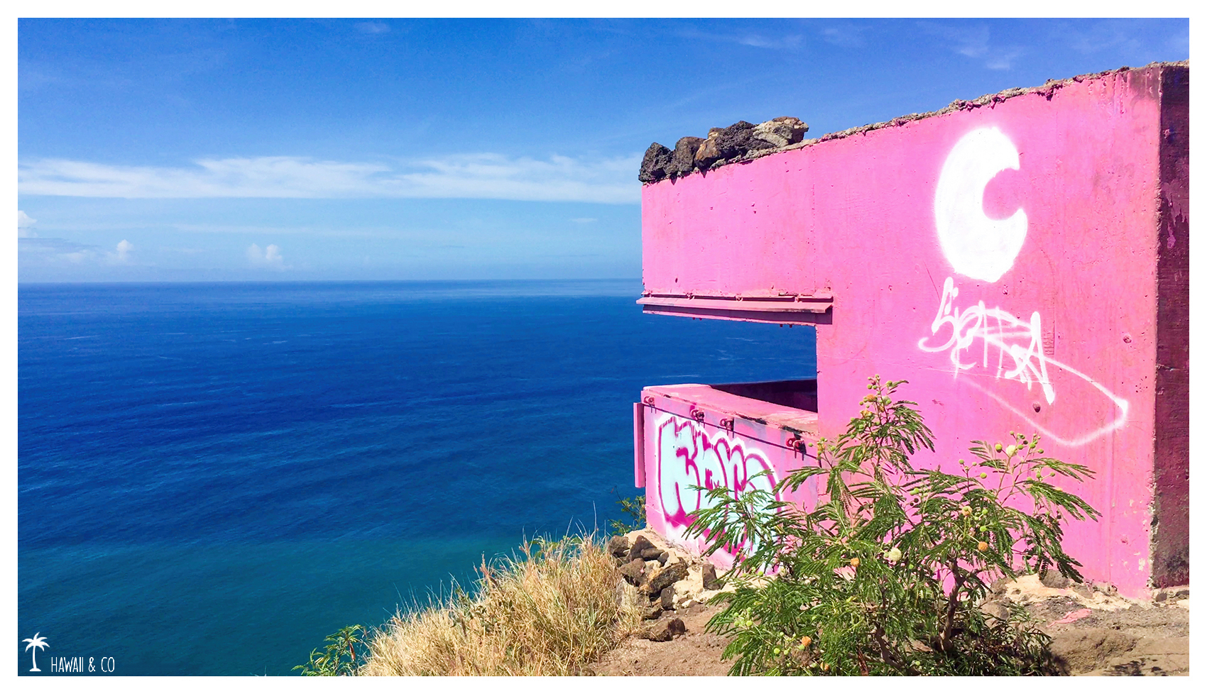
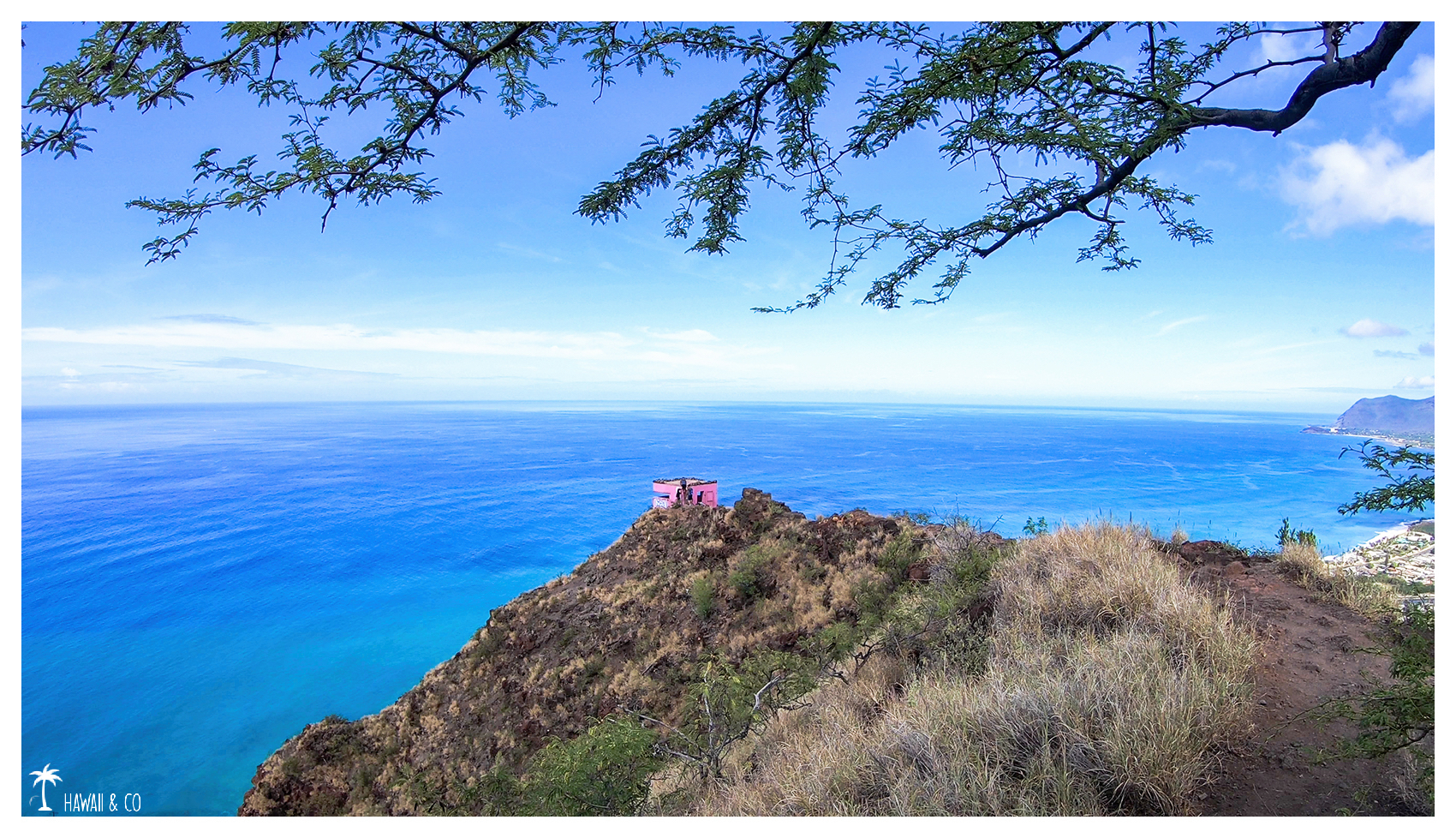
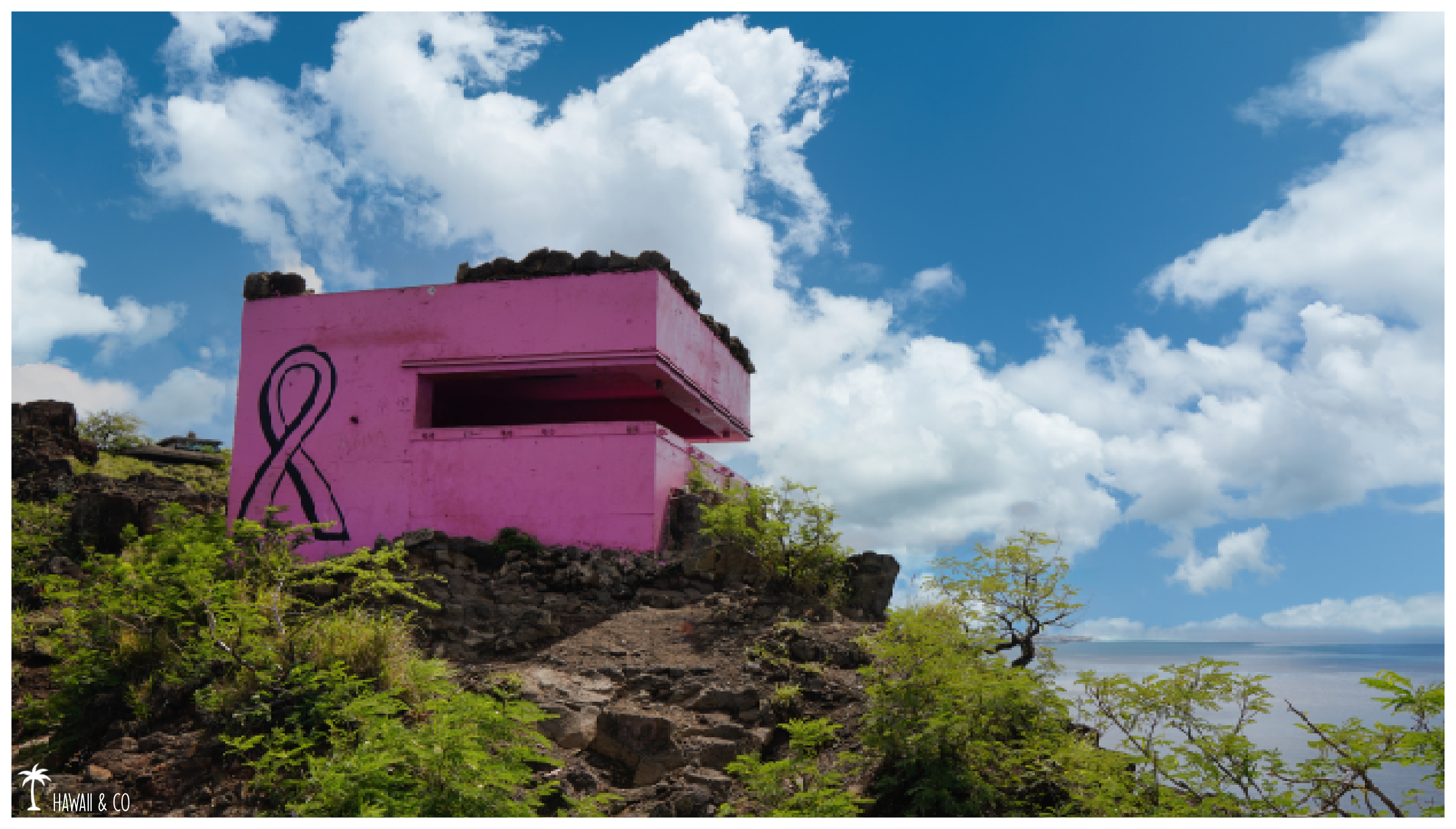
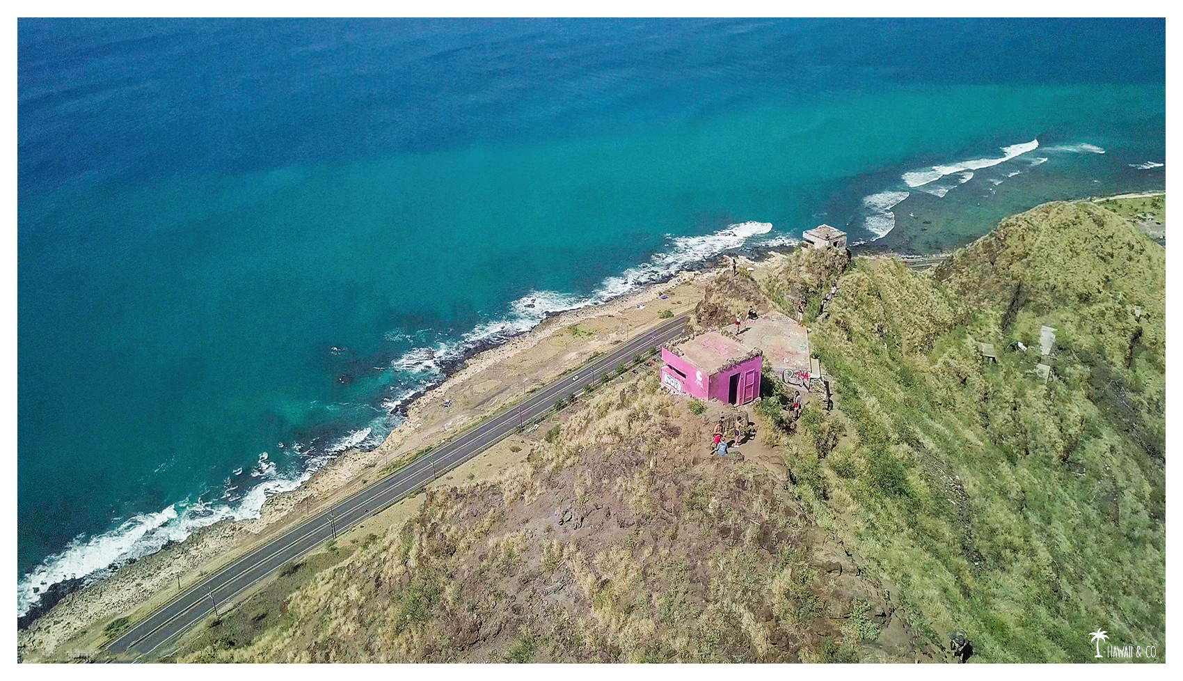
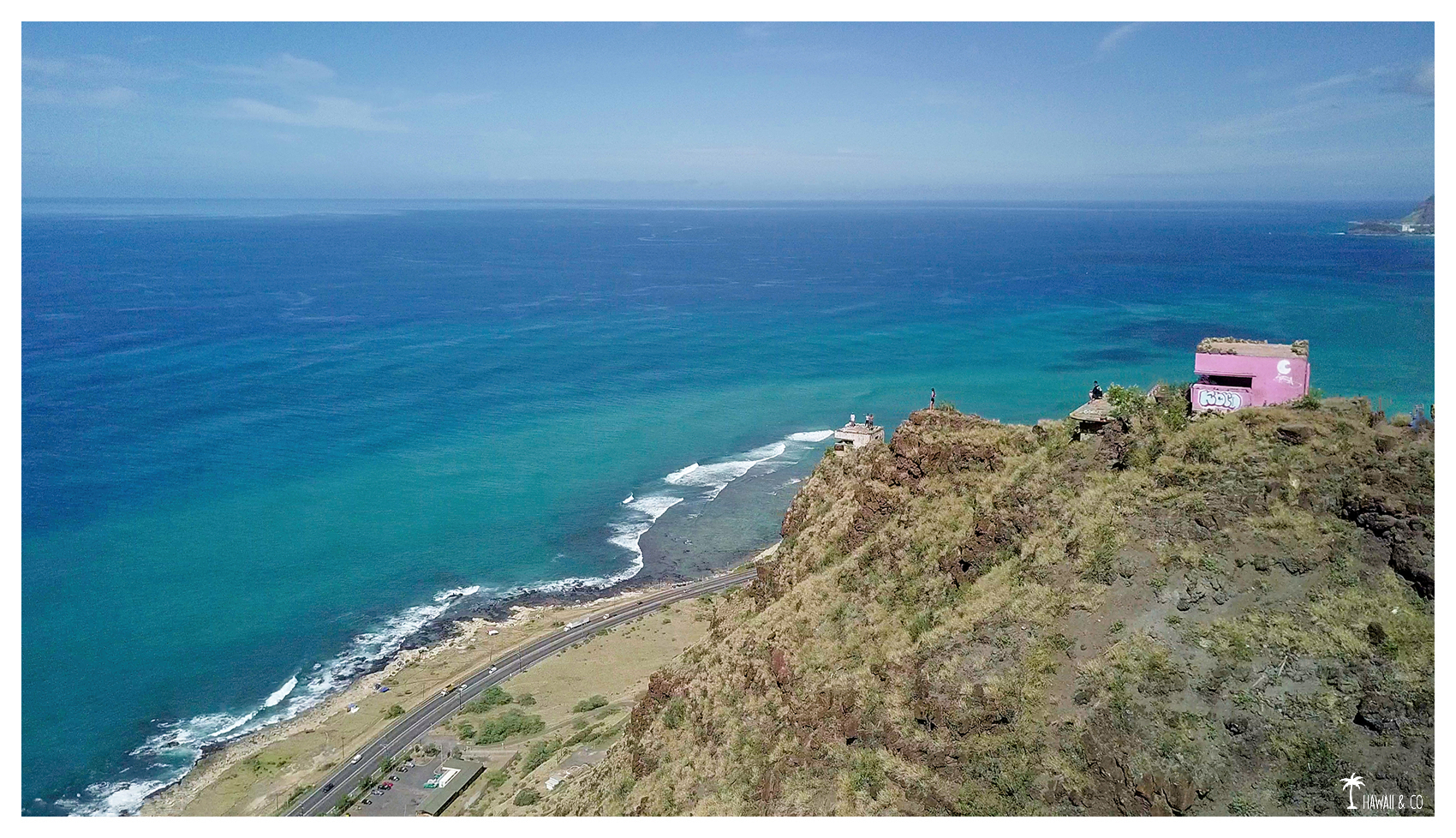
Once on the ridge, you can explore several bunkers. But the pink one will hold all your attention especially if you’re a photographer.
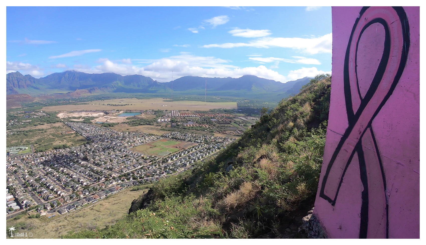
This bunker has been repainted in bright pink for the 2015 Pinktober, a month dedicated to the fight against breast cancer. Since then, it has become so iconic that it is better known as Pink Pillbox rather than Maili Pillbox ! Now you know where the name of the Pink Pillbox Hike came from !
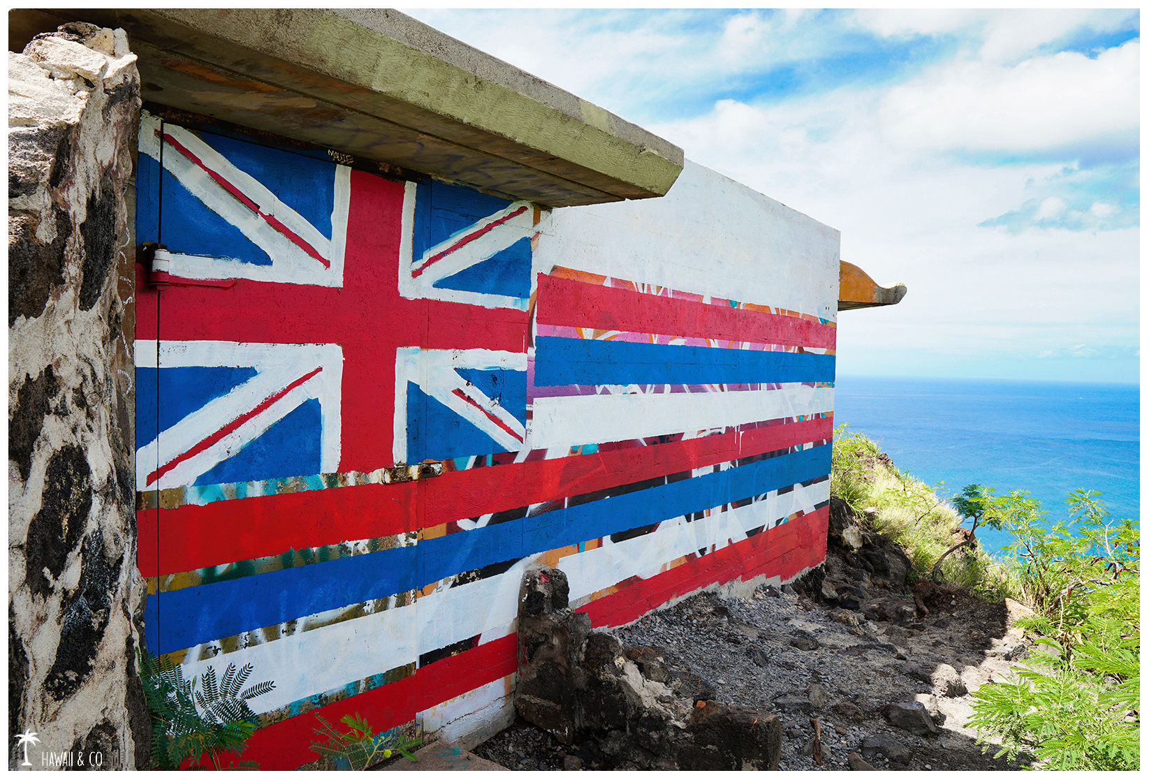
The other bunkers are regularly repainted so I always enjoy coming here and rediscover these structures in new colors.
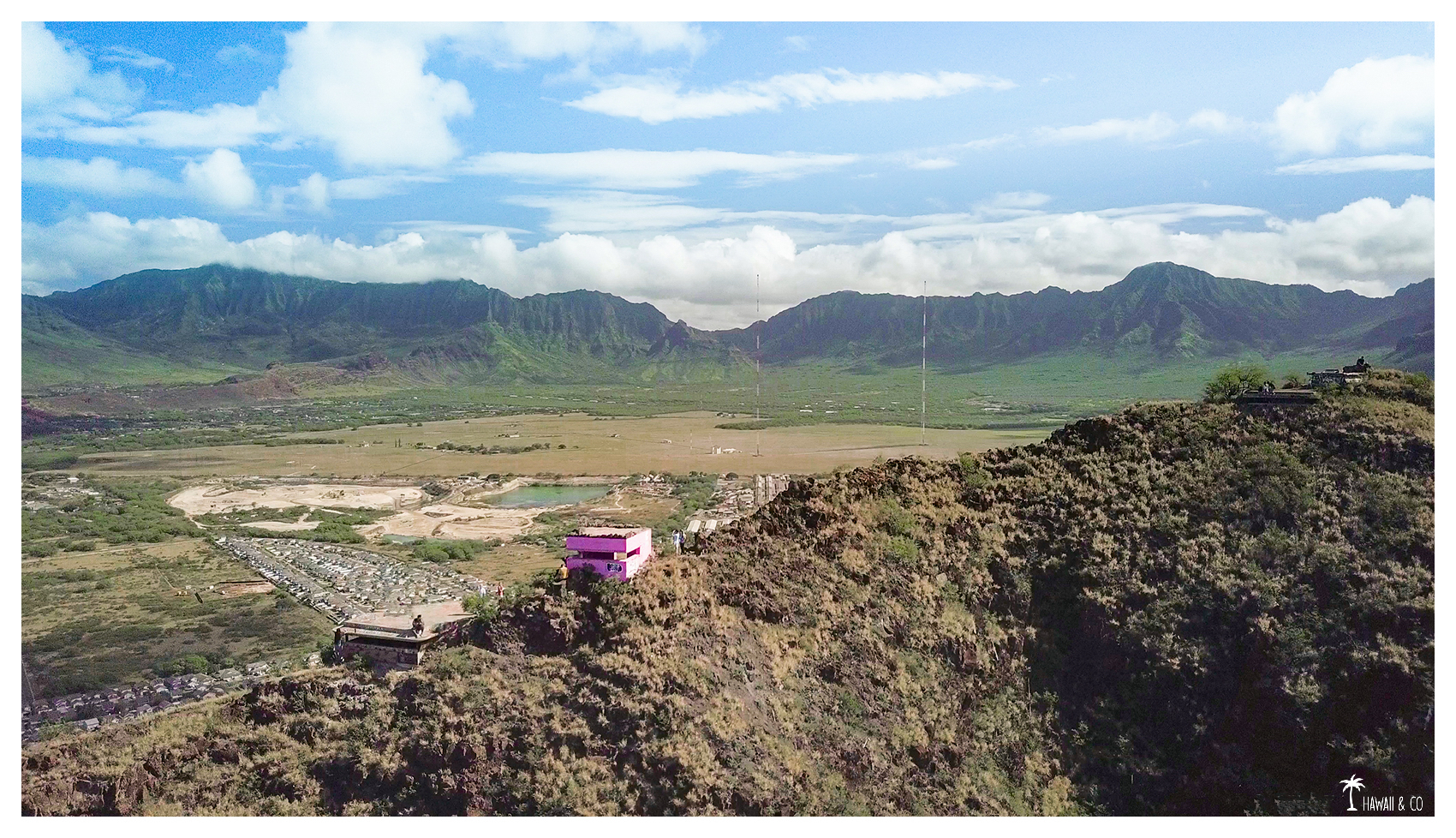
In the distance, you can see the two antennas of 458m each from the radio base of Lualualei.
It is a very low frequency transmitter used by the US Navy to communicate with submerged submarines.These mats are among the highest in the world.
Informations
2.6 Km roundtrip
2h
Take the Farrington Hwy towards Waianae and turn right onKaukama Road.
The trailhead begins at the 9th light pole on the right side of Kaukama Road.
You will probably see a few cars parked beside it.
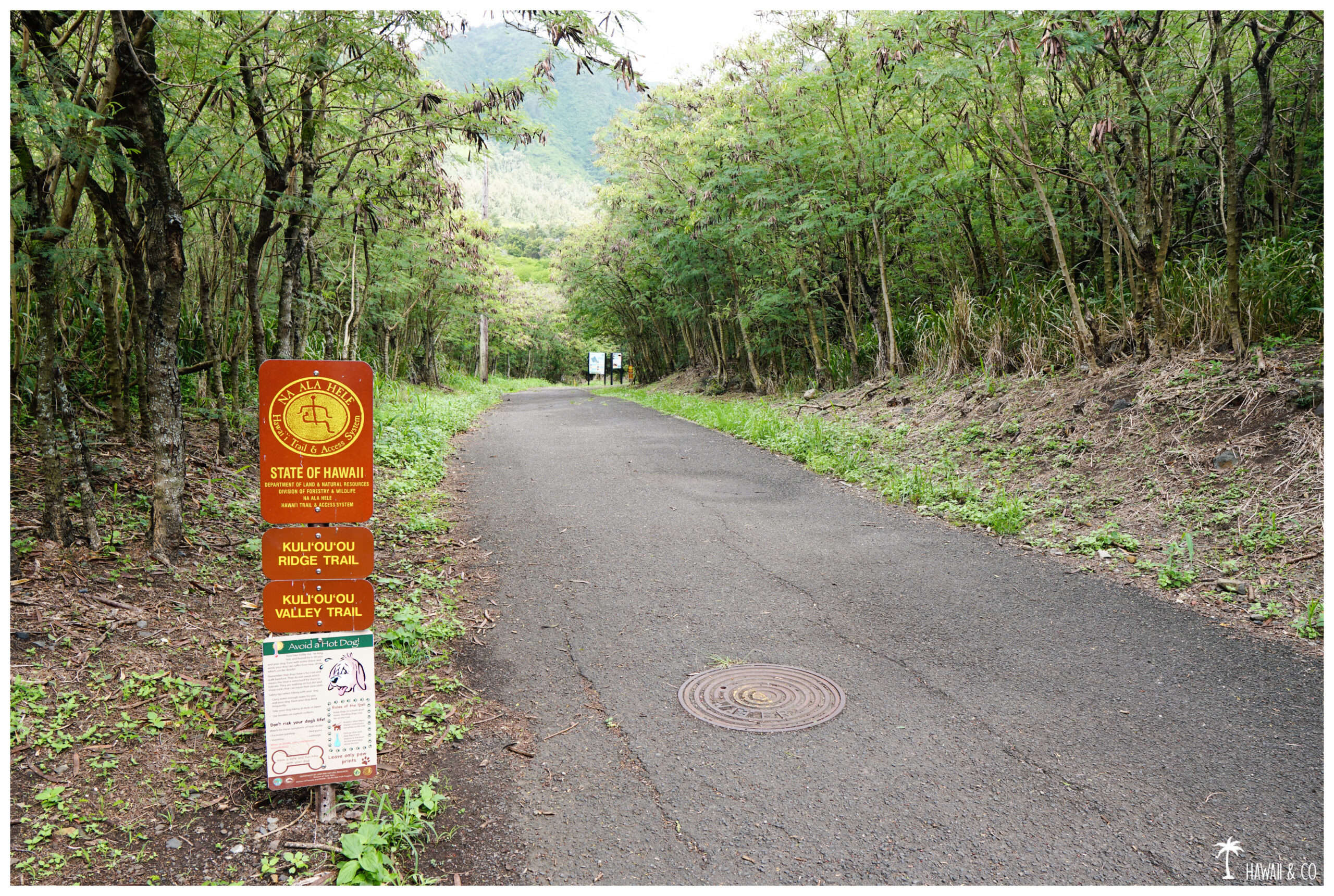
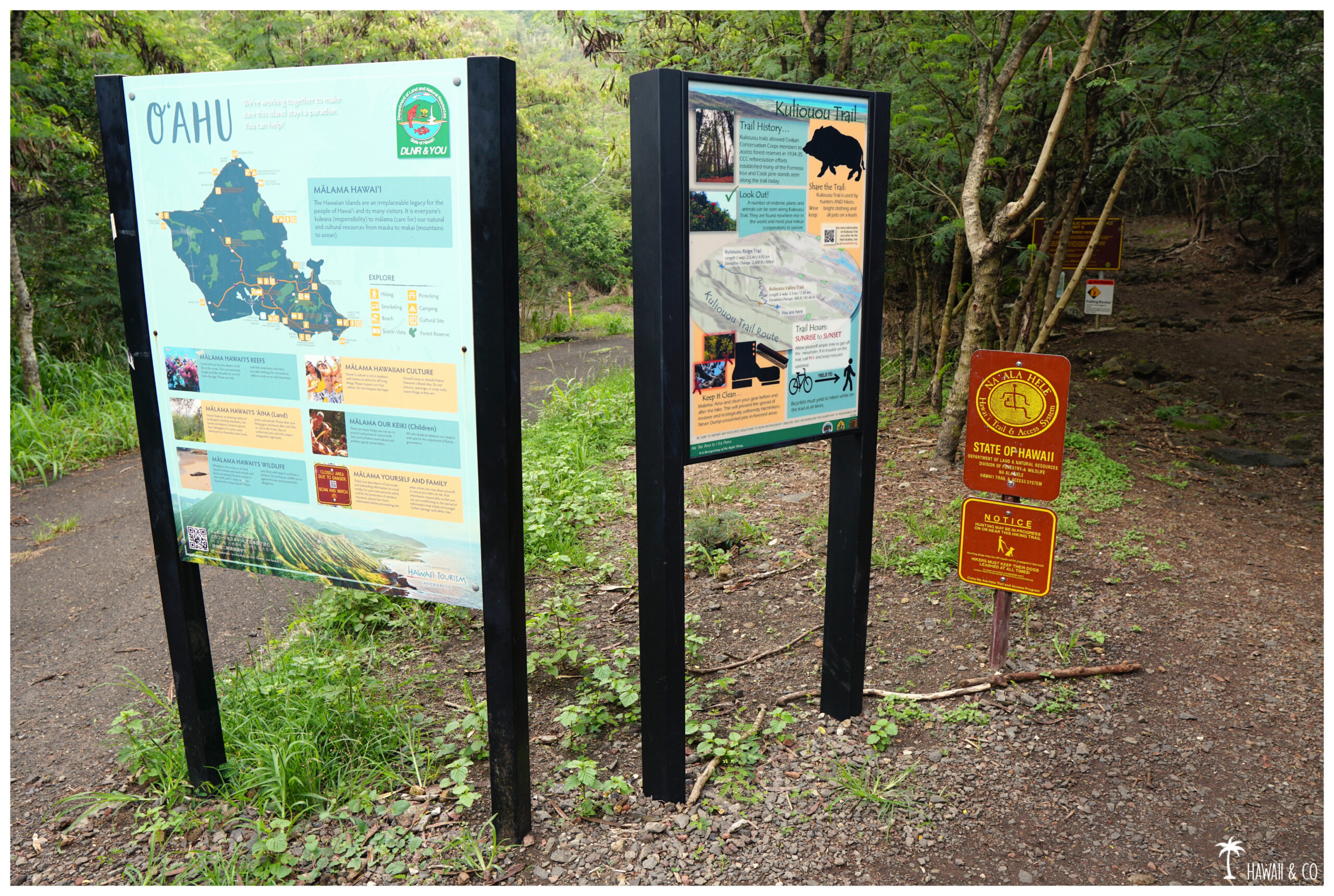
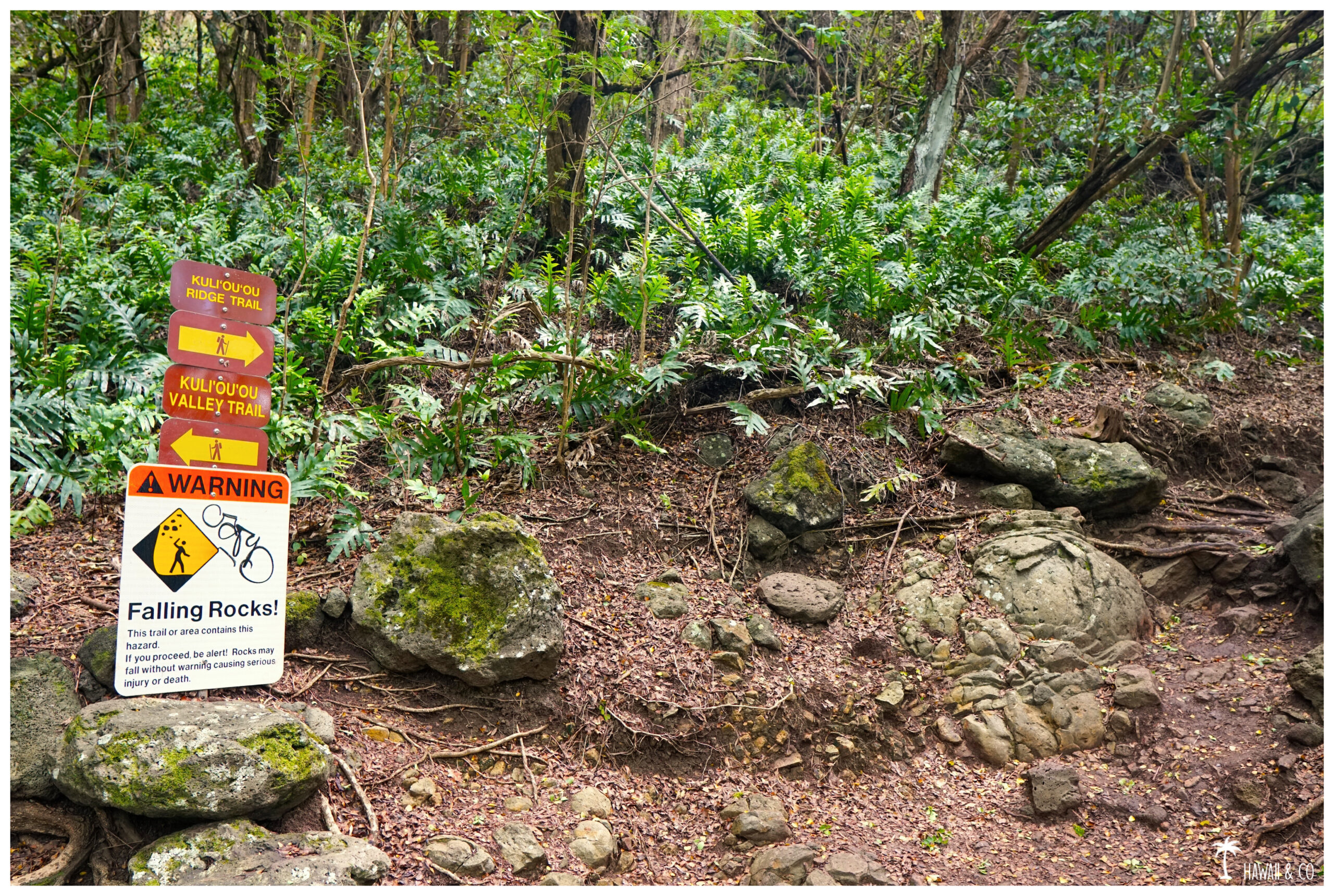
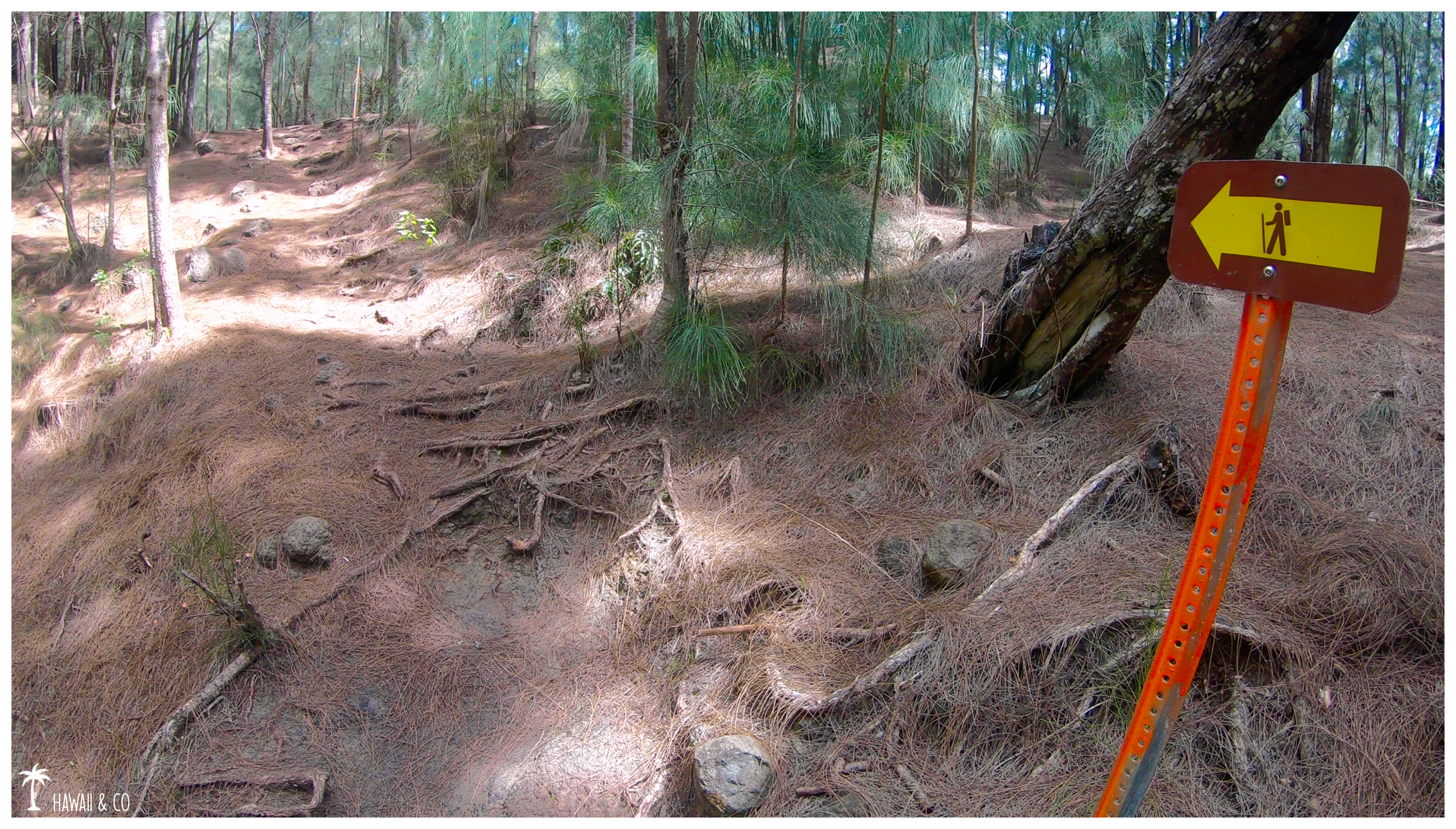
The trailhead is located at the very end of Kalaau Place, in the southeastern part of the island. Walk past the yellow gate and continue on the paved road to the information panels. Take a right at the fork and follow the ridge trail sign otherwise you’ll end up on the Valley Trail.
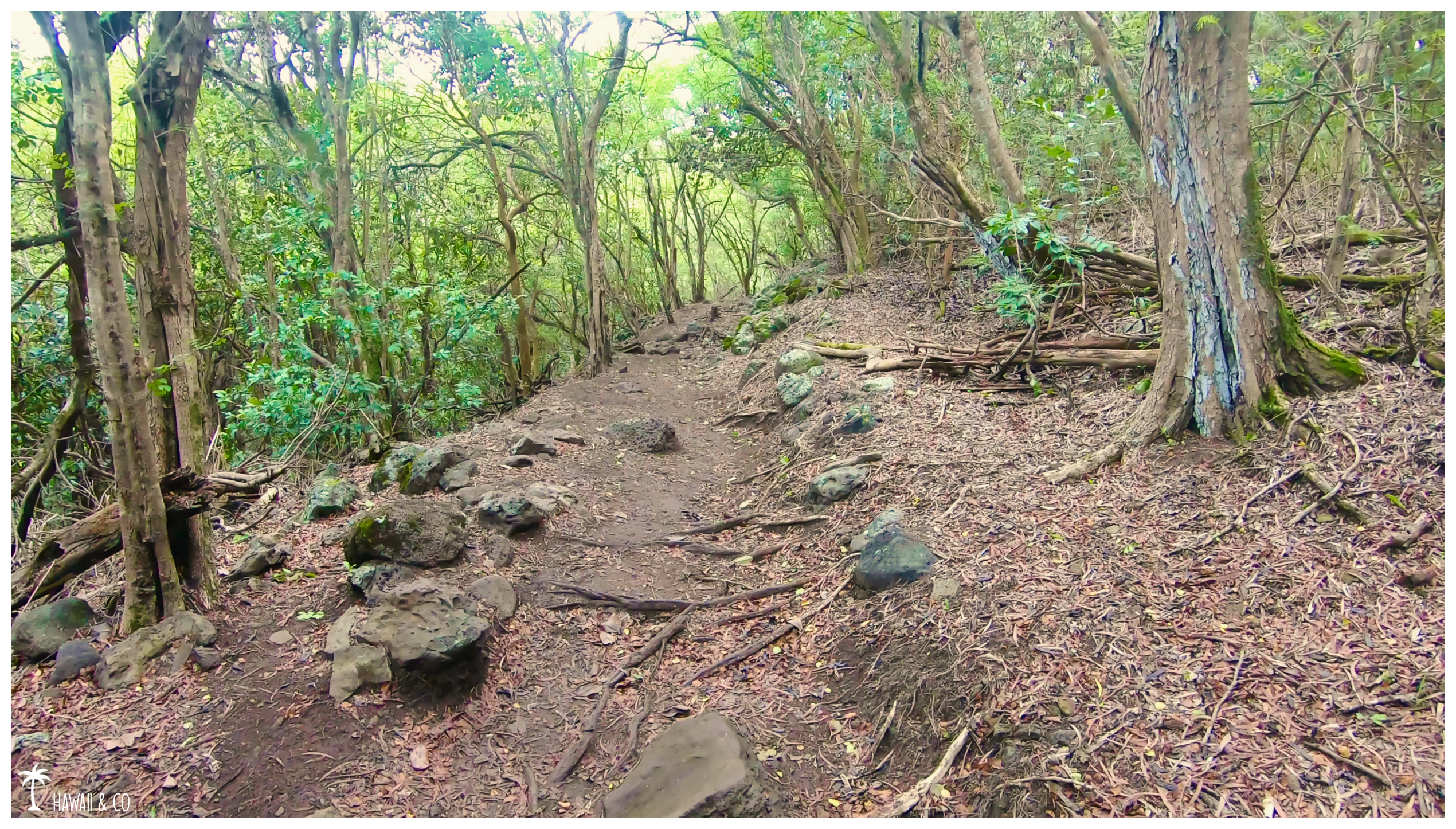
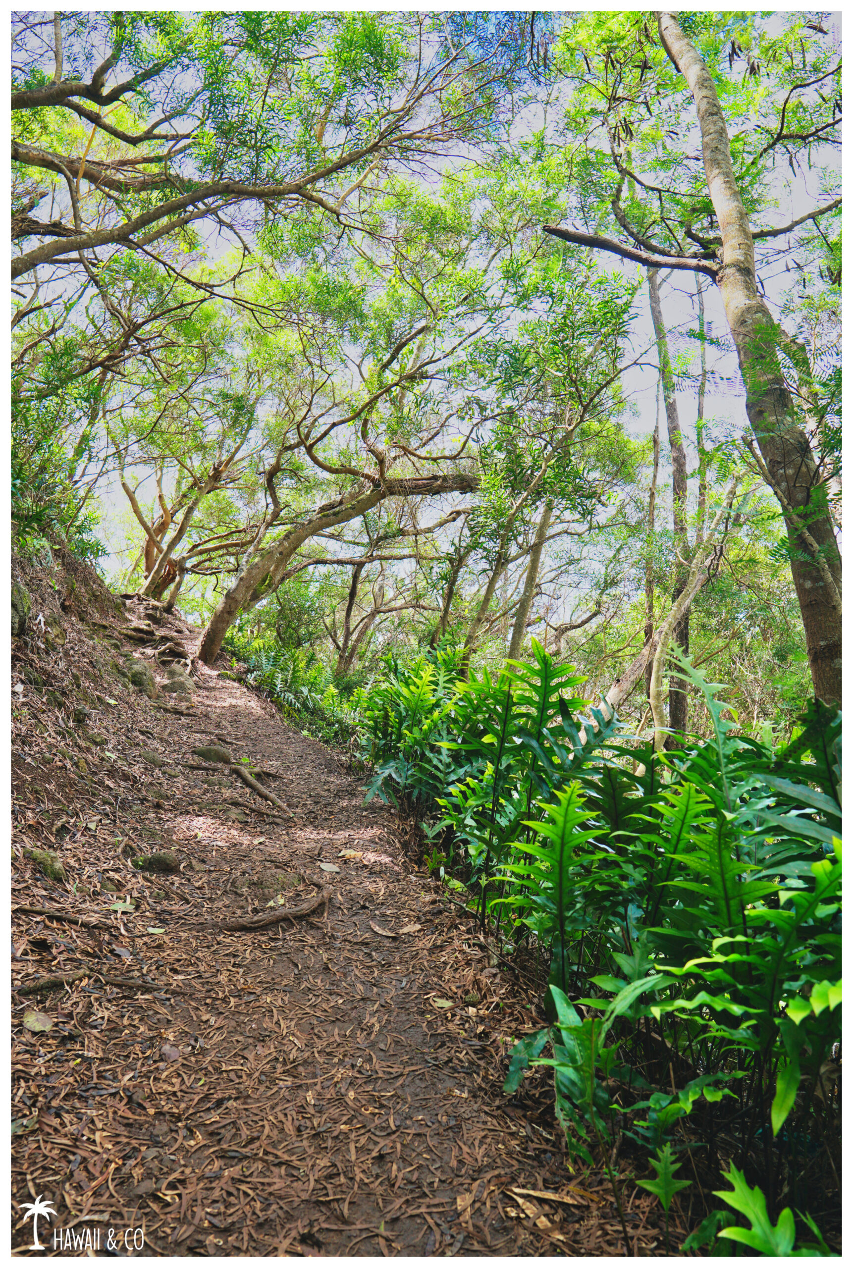
The path starts along a series of switchbacks, climbing through the forest. It’s rocky woth some roots so watch ypur steps.
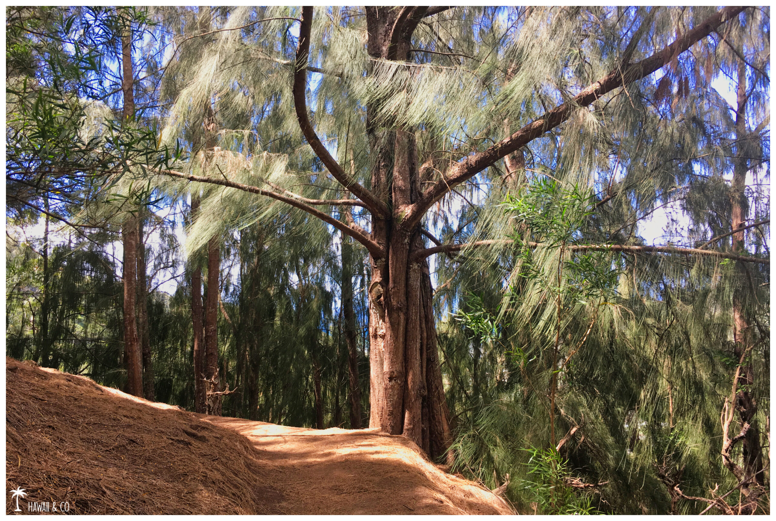
After a few zigzags, the landscape begins to change and you’ll be soon surrounded by a forest of Ironwood pines. As the trail is covered with pine needles fallen from the canopy, the walk here is smoother.
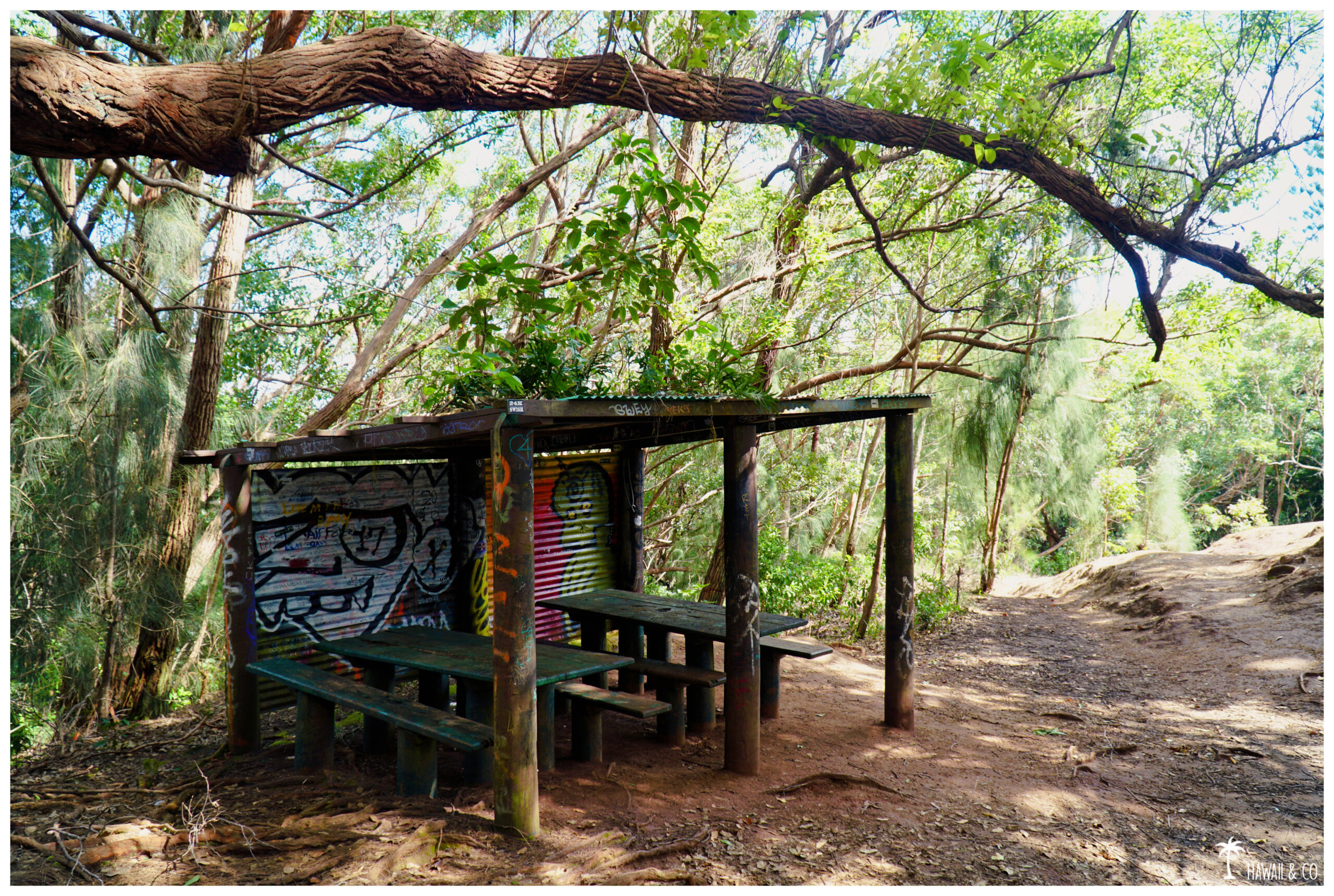
A little further, you’ll find a shelter with two picnic tables and benches. It marks the end of the easy part with a moderate elevation gain.
The good news is that you’ve already done the 2/3 of this hike. The bad news is that the more challenging part is yet to come with a steepest ascent.
But the reward at the end will worth the efforts
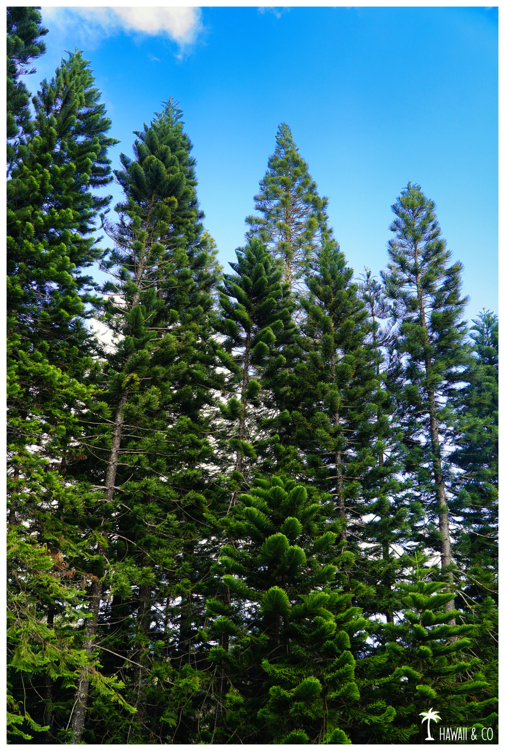
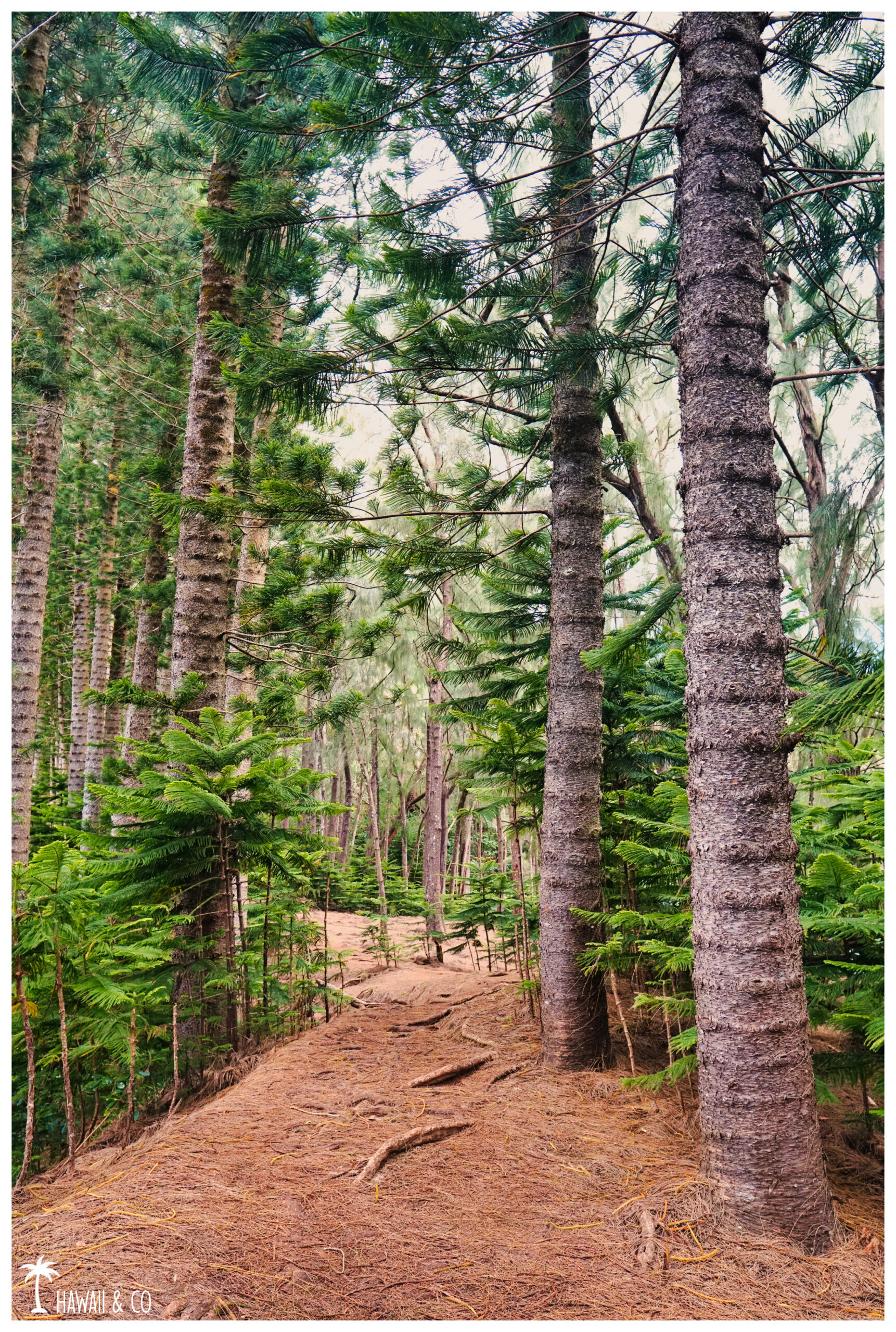
Now the path follows the ridge. You’re still into the forest with some Norfolk Pines this time.
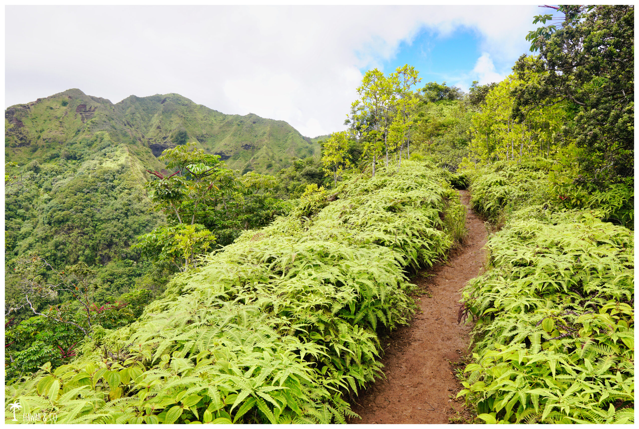
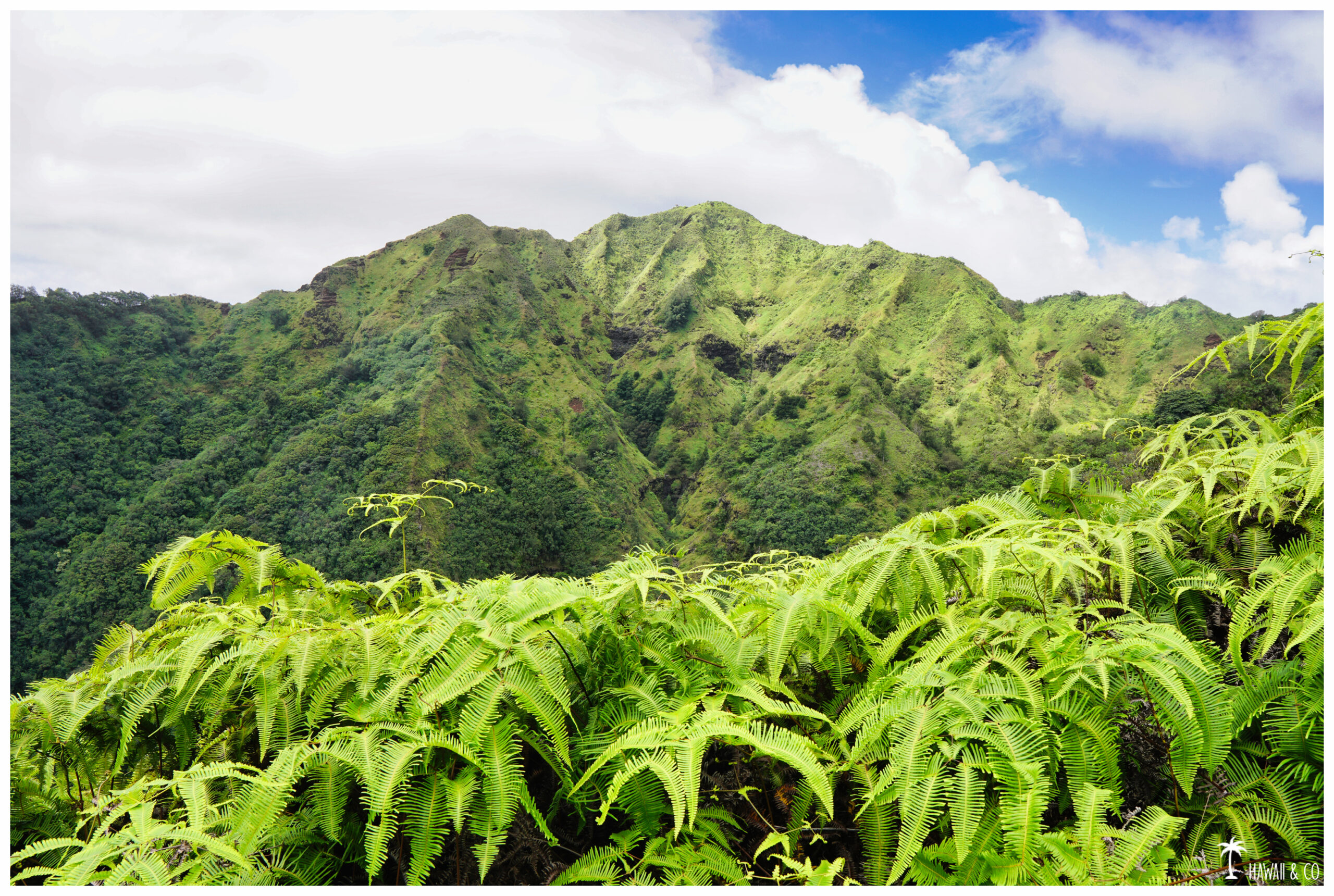
Then, the trail slowly begins to open up, offering great views of the neighboring ridges.
The carpet of pine needles that we had previously is now replaced by a dirt path.
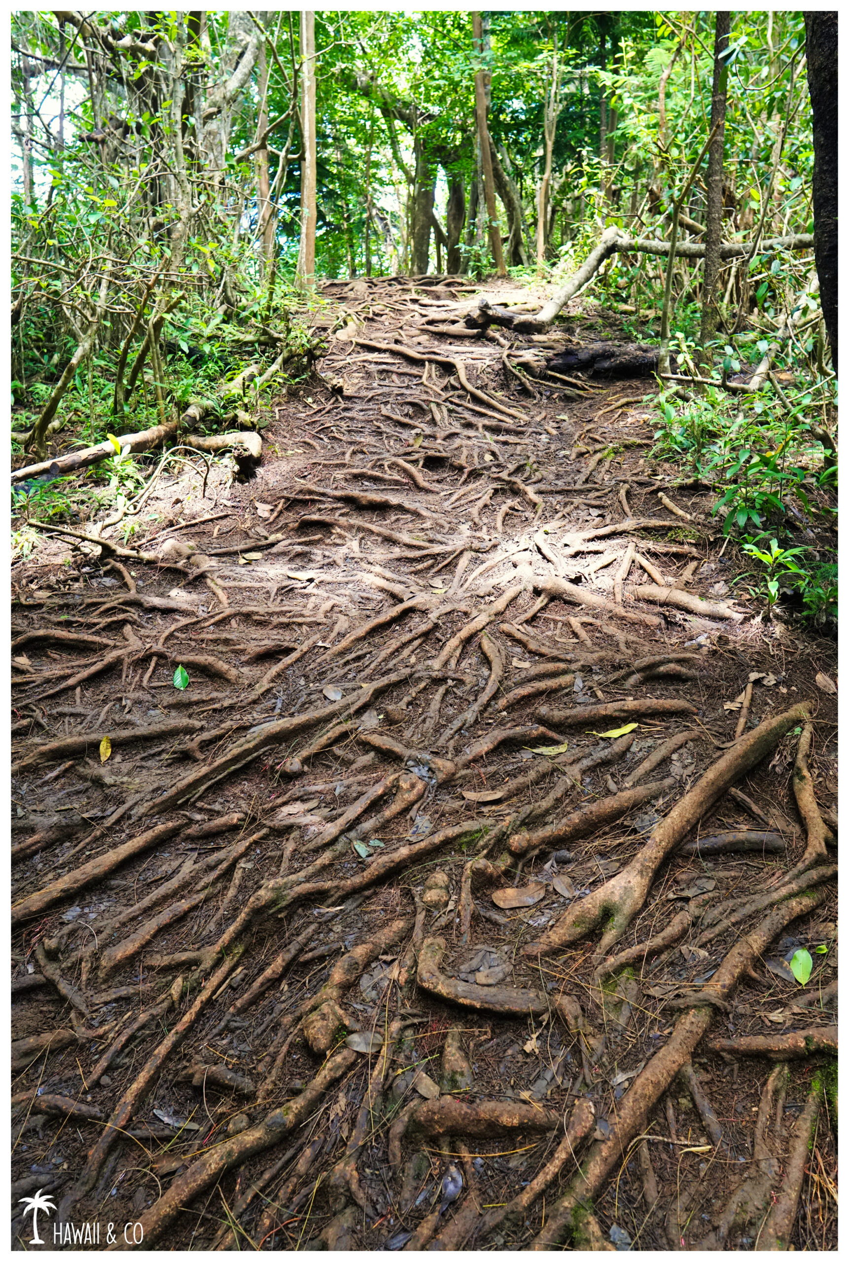
The interlocking roots we have here are helpful: you can use them as natural steps.
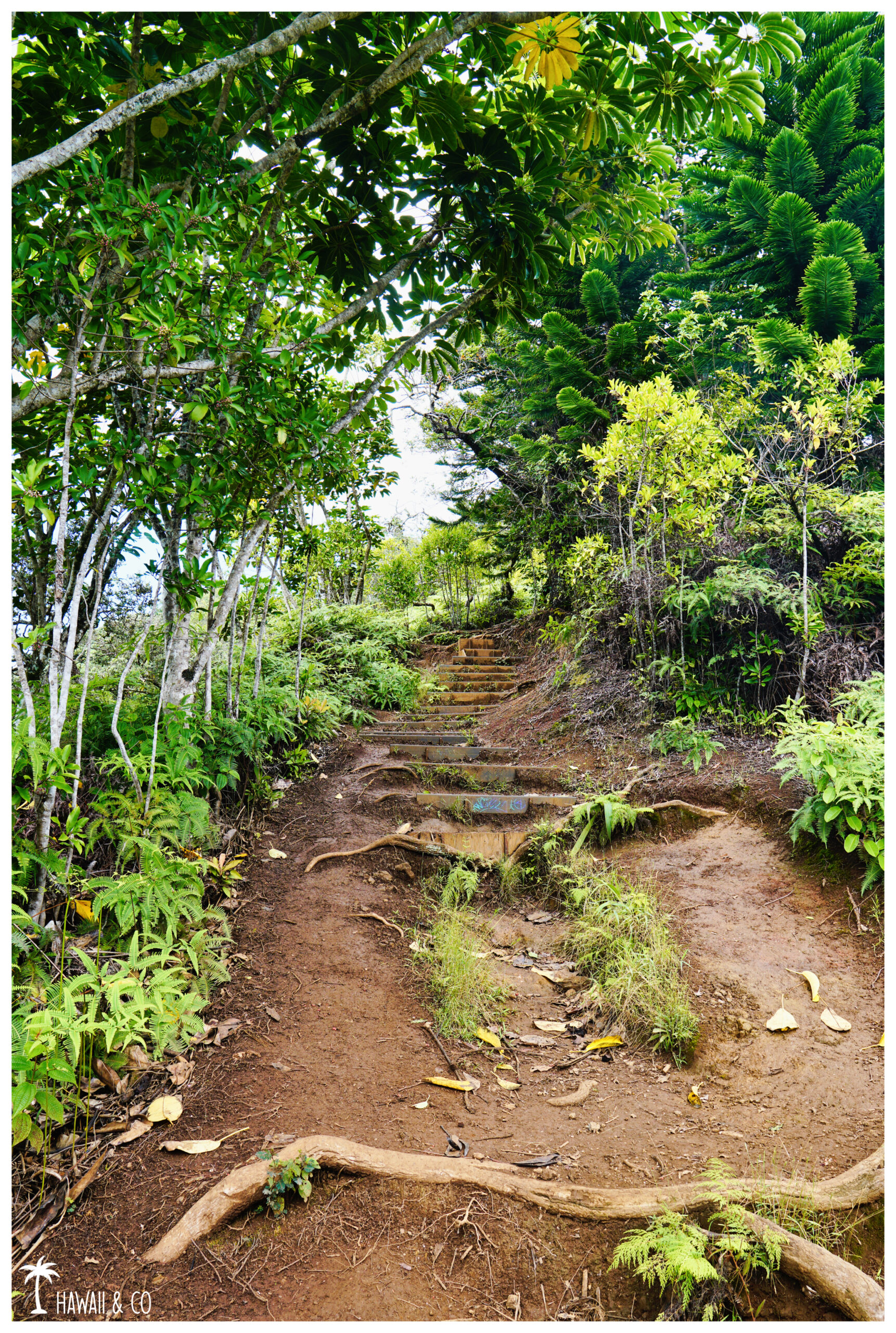
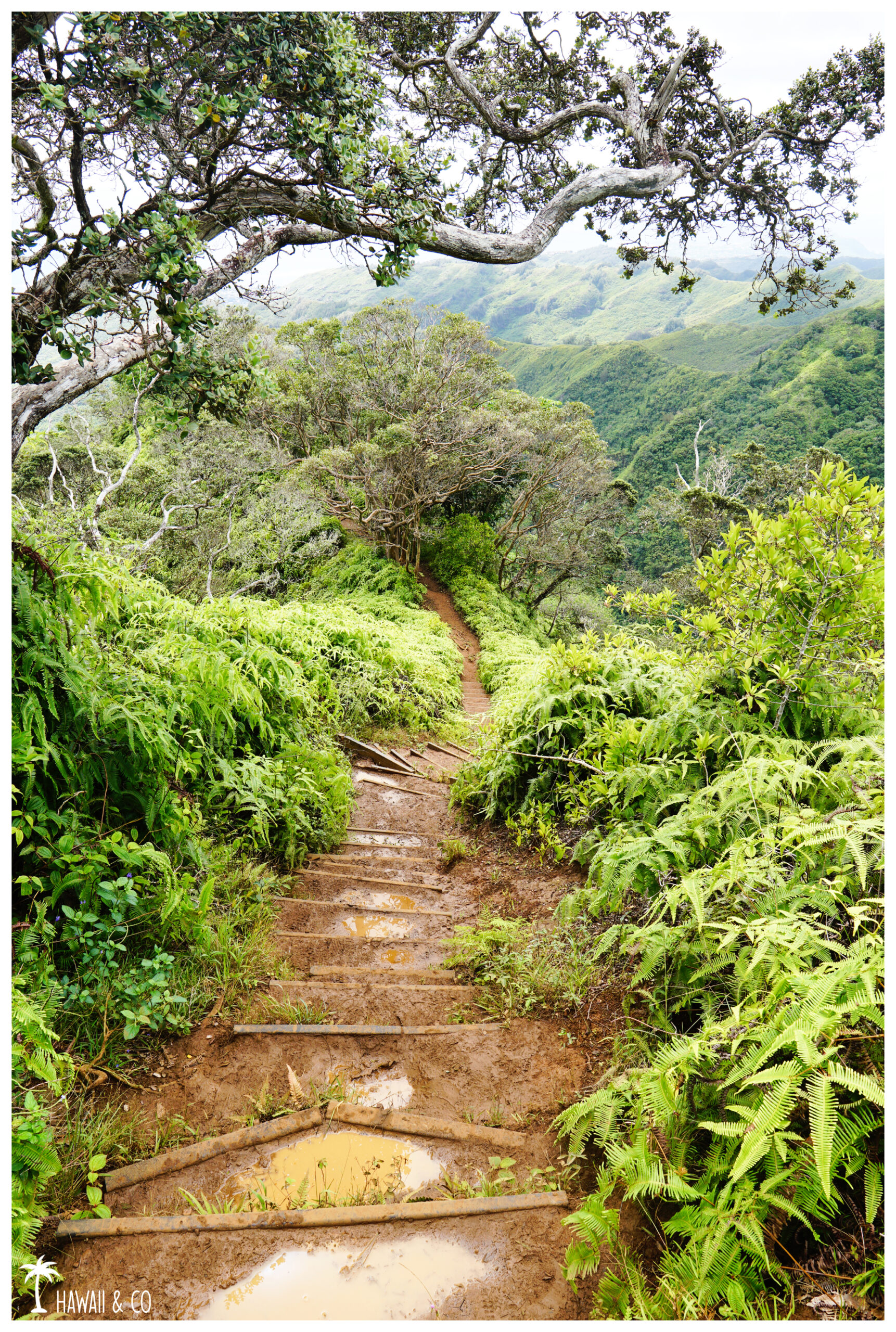
Then the first steps finally arrives. This is the most difficult part of this hike but also the most beautiful because the view opens up allowing us to discover some mazing views.
Finally, all these steps to climb goes well because you’ve got so many photos stops opportunities during the ascent. What a good excuse to take a breath and enjoying the landscape !
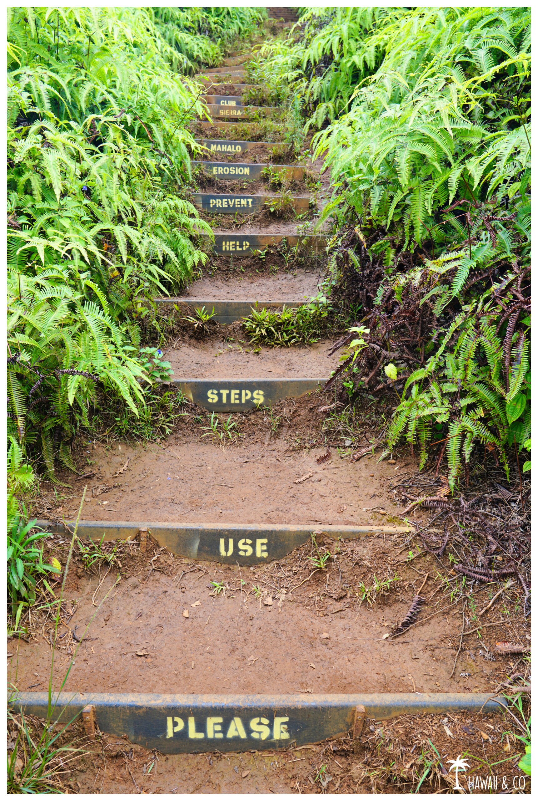
All these steps are maintained by the state’s Nā Ala Hele program and the Sierra Club of Hawai‘i . They were build to slow erosion and make it easier for the hikers to climb to the summit.
Some tags on a series of steps are there to remind you.
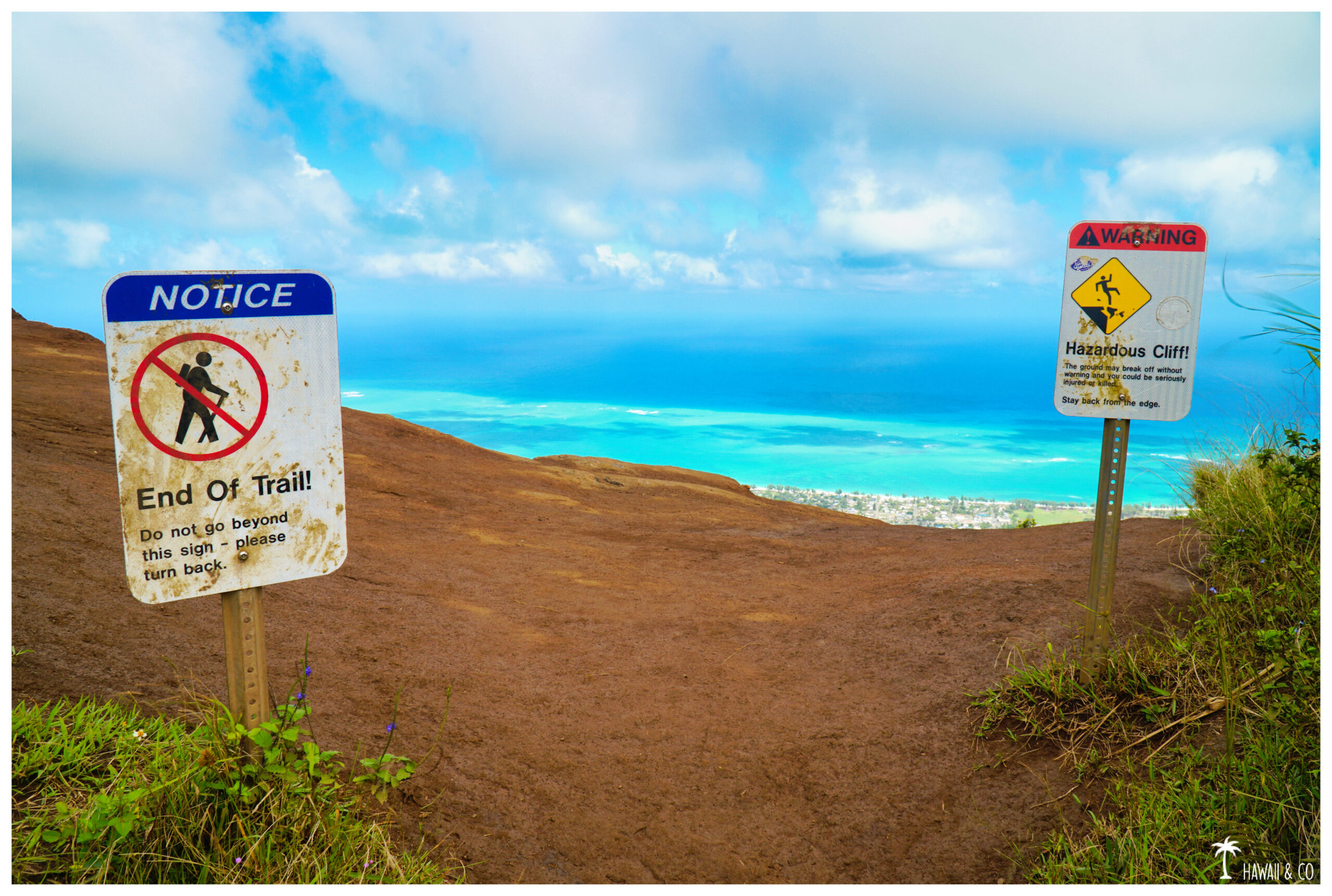
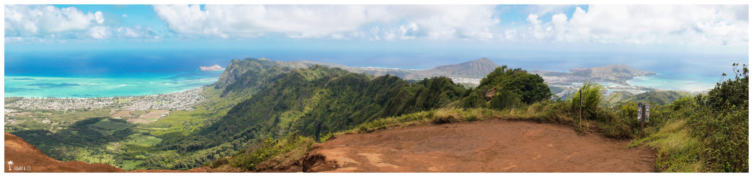
The very last set of stairs finally brings you to the summit. We arrive on a small platform where a sign tells you that the Kuli’ou’ou Ridge Trail ends here. Because yes we can continue a little further on the ridge but I do not recommend it. It is not maintained and to risky.
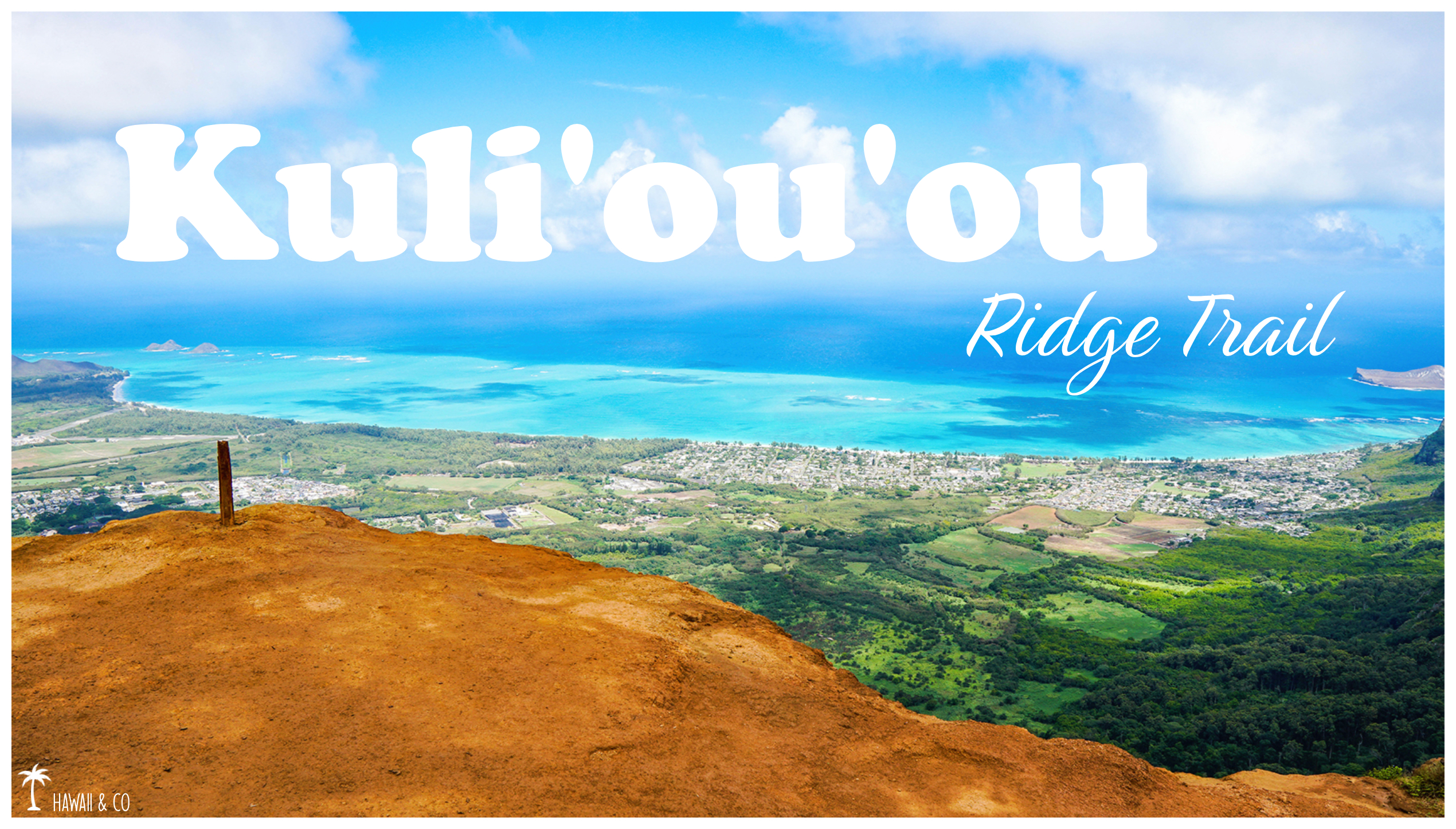
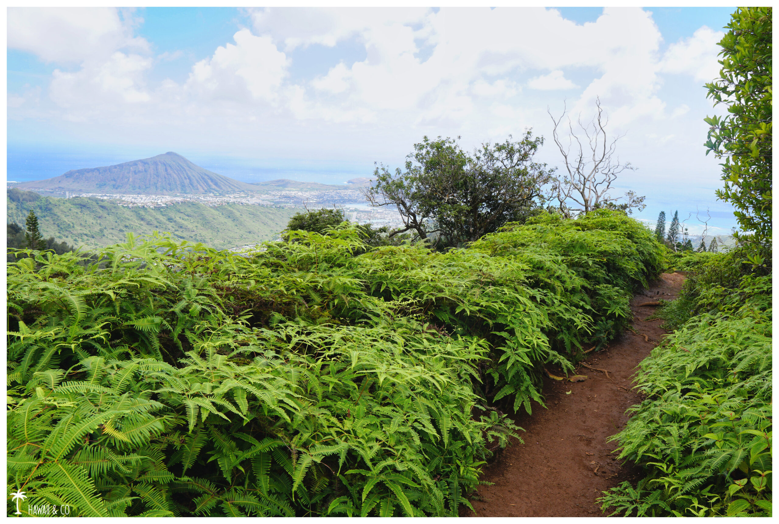
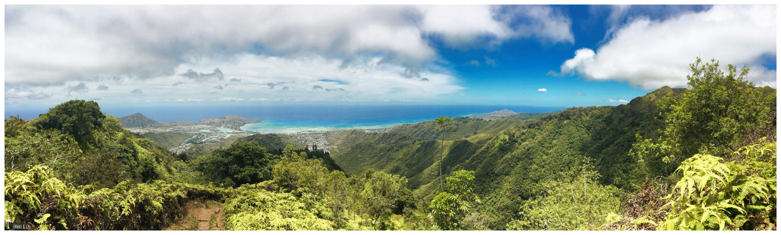
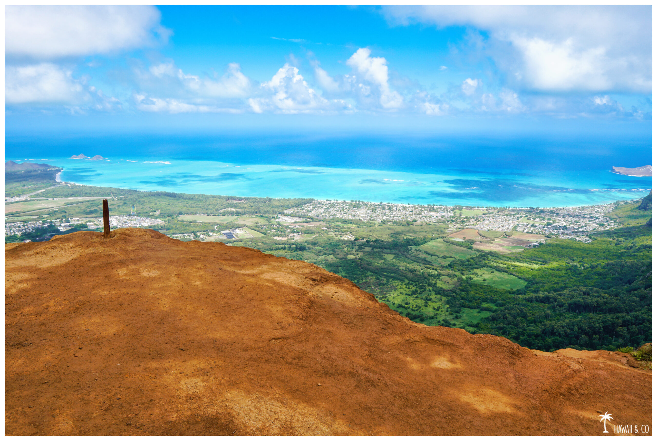
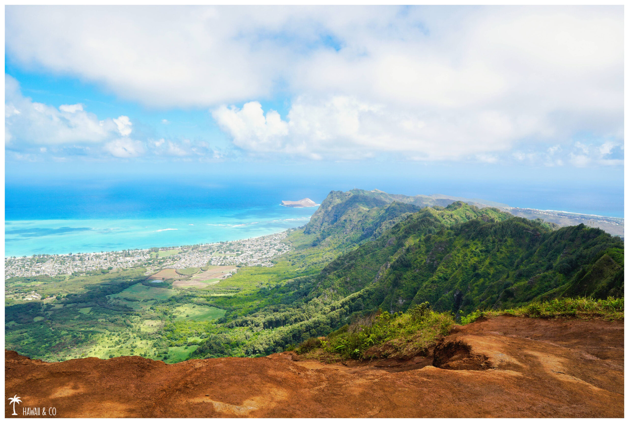
The view here is amazing: we overlook Waimanalo Bay and its turquoise waters. There is a 180 degree panoramic view from Rabbit Island on the right to Lanikai on the far left.
Informations
8 Km roundtrip
3-4 h
From Waikiki: Take Hwy 72 toward Hawaii Kai and turn left onto Kuli’ou’ou rd. At the last intersection, turn right onto Kalaau Pl and park as close as possible to the yellow gate, starting point of the hike.
You are in a residential area so parking can be tricky because you can’t park at the end of the road. So please, remember no matter where you park to be respectful of the residents who lives in the area.
Like other popular hikes on the island, the Kuli’ou’ou Ridge Trail can get very busy especially on weekends.
In wet weather, the roots can become slippery, really slippery … Mud can also be an obstacle in some places. So watch the weather forecasts carefully before planning your hike.
The wind at the top can be very strong.
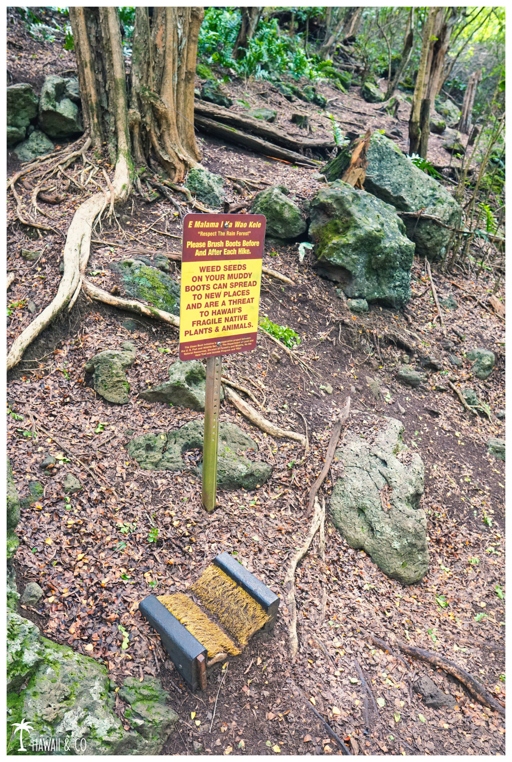
At the start of the hike, you’ll find this panel with large brushes to clean your soles. It is really an important gesture to make in order to preserve the ecosystem of the island. This will limits the spread of invasive species along the hiking trails.
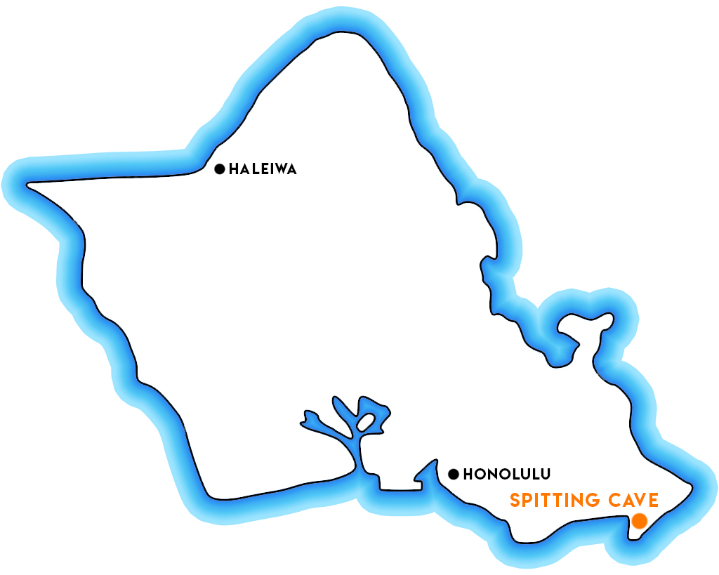
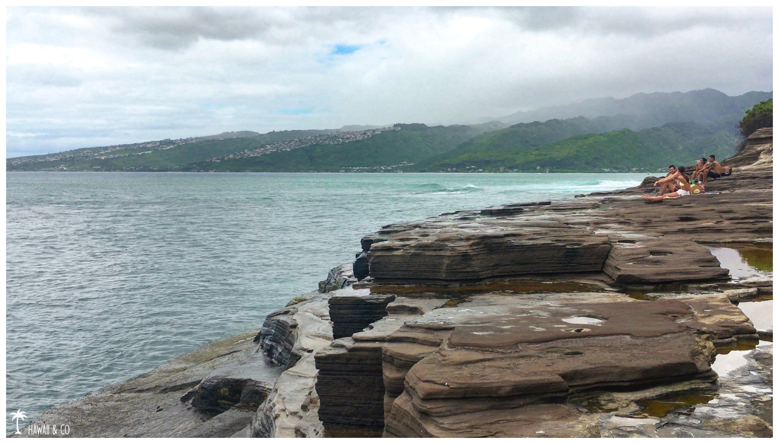
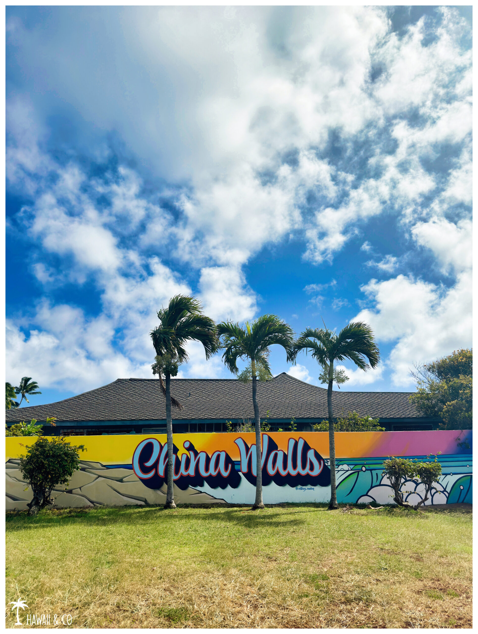
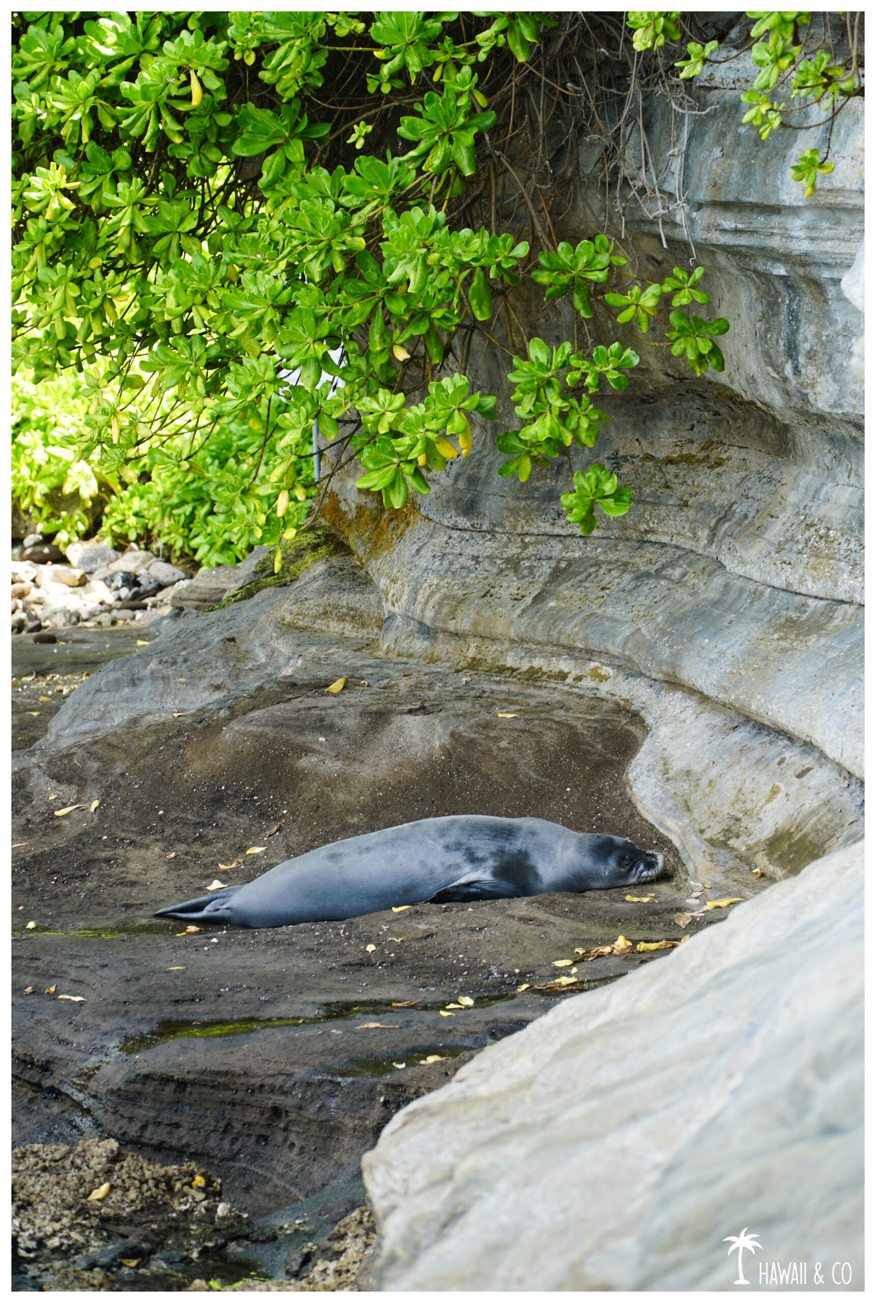
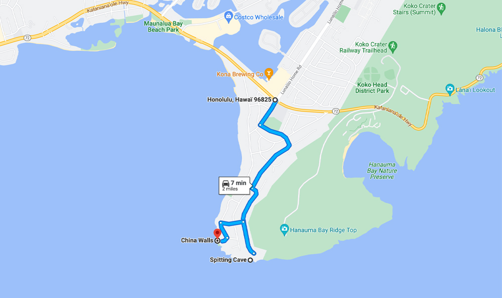
Located in the residential area of Portlock, Spitting Cave and China Walls offers wild landscapes on lava cliffs that remind us that Oahu is a volcanic island !
These parks were on my bucket list since a few years. It was finaly on a gloomy morning of October that I found the time to get there and I must admit I haven’t been disappointed !
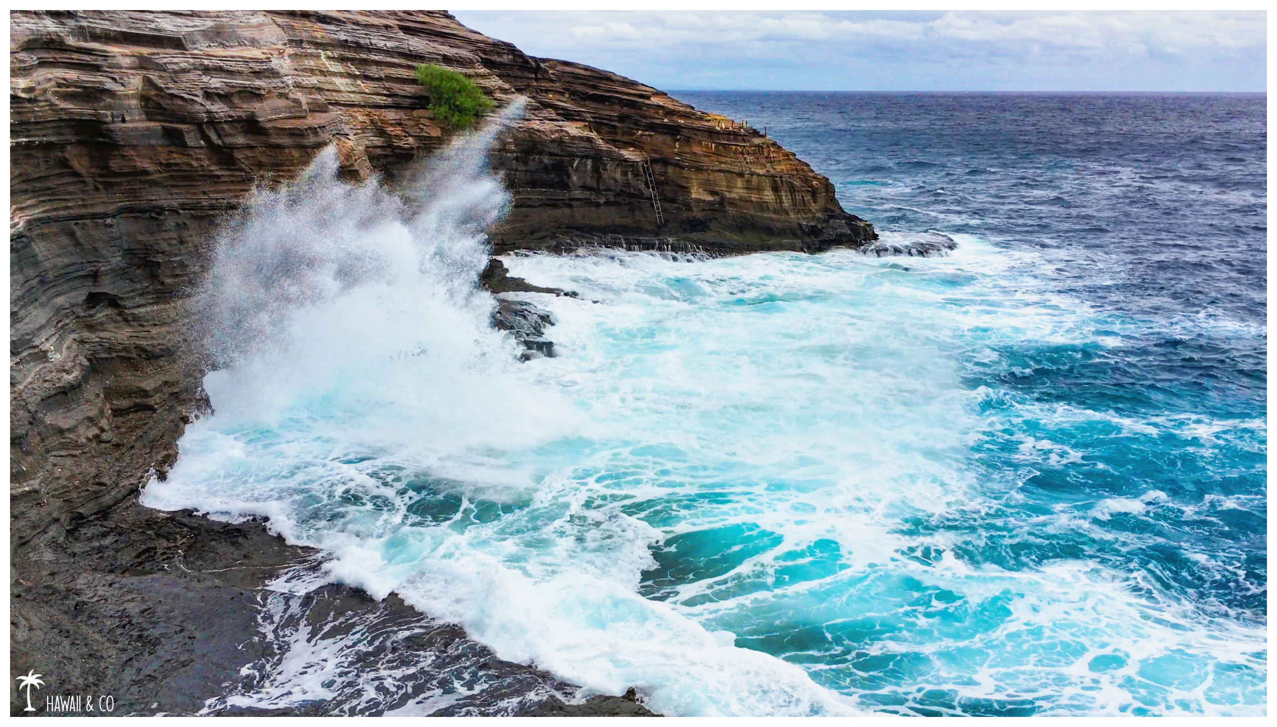
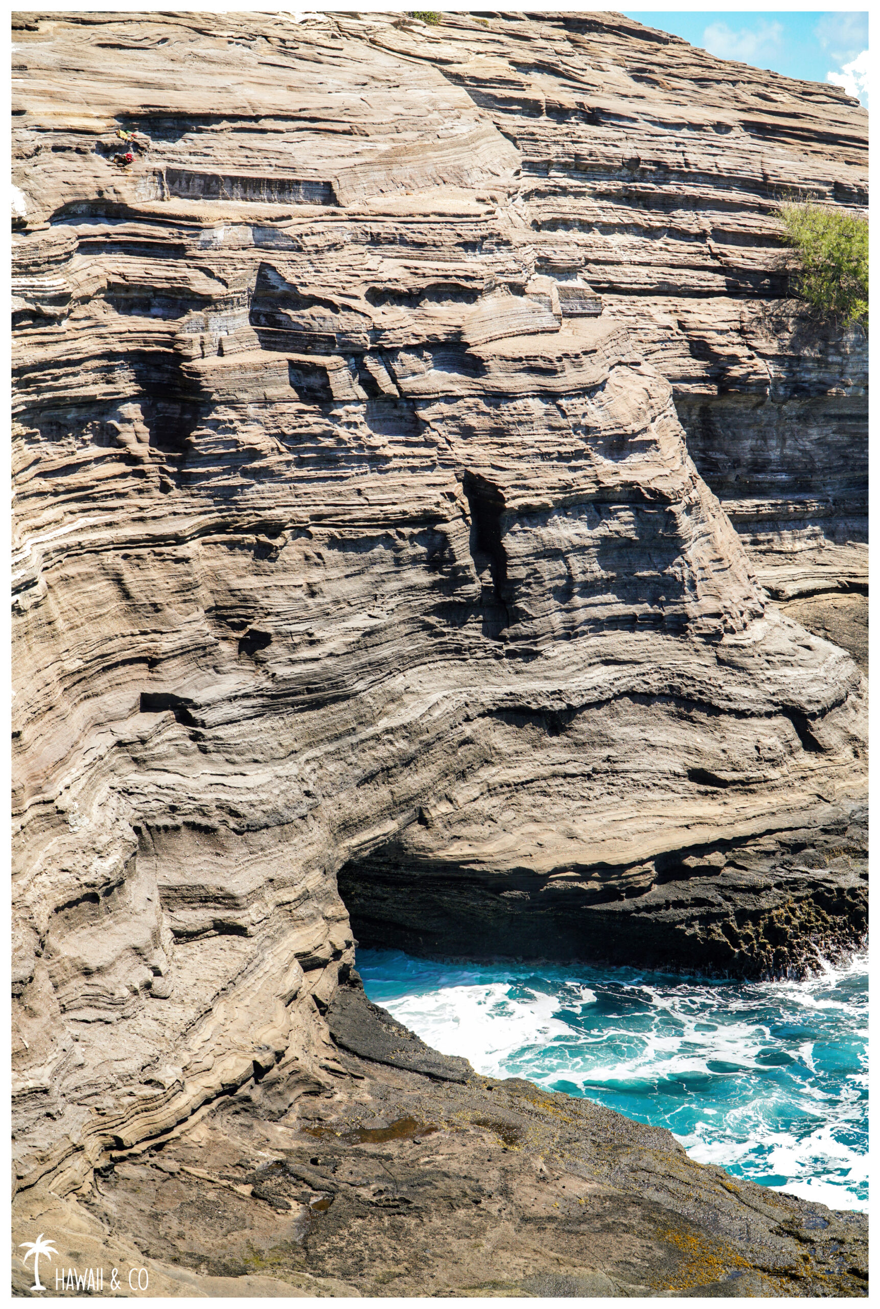
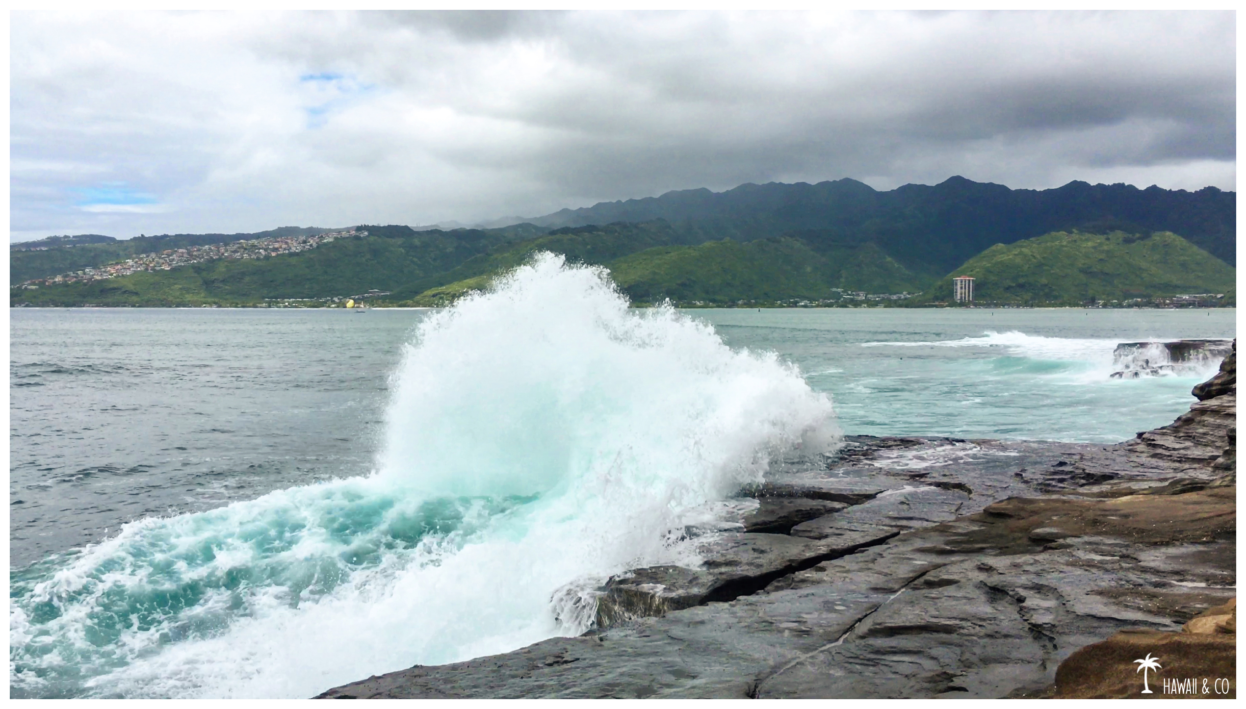
Unlike the blowhole who projects water vertically as a result of the ebb and flow of the ocean, here it’s a cavity that sucks waves and spits them out forcefully to the horizontal. So came the Spitting Cave‘s name.
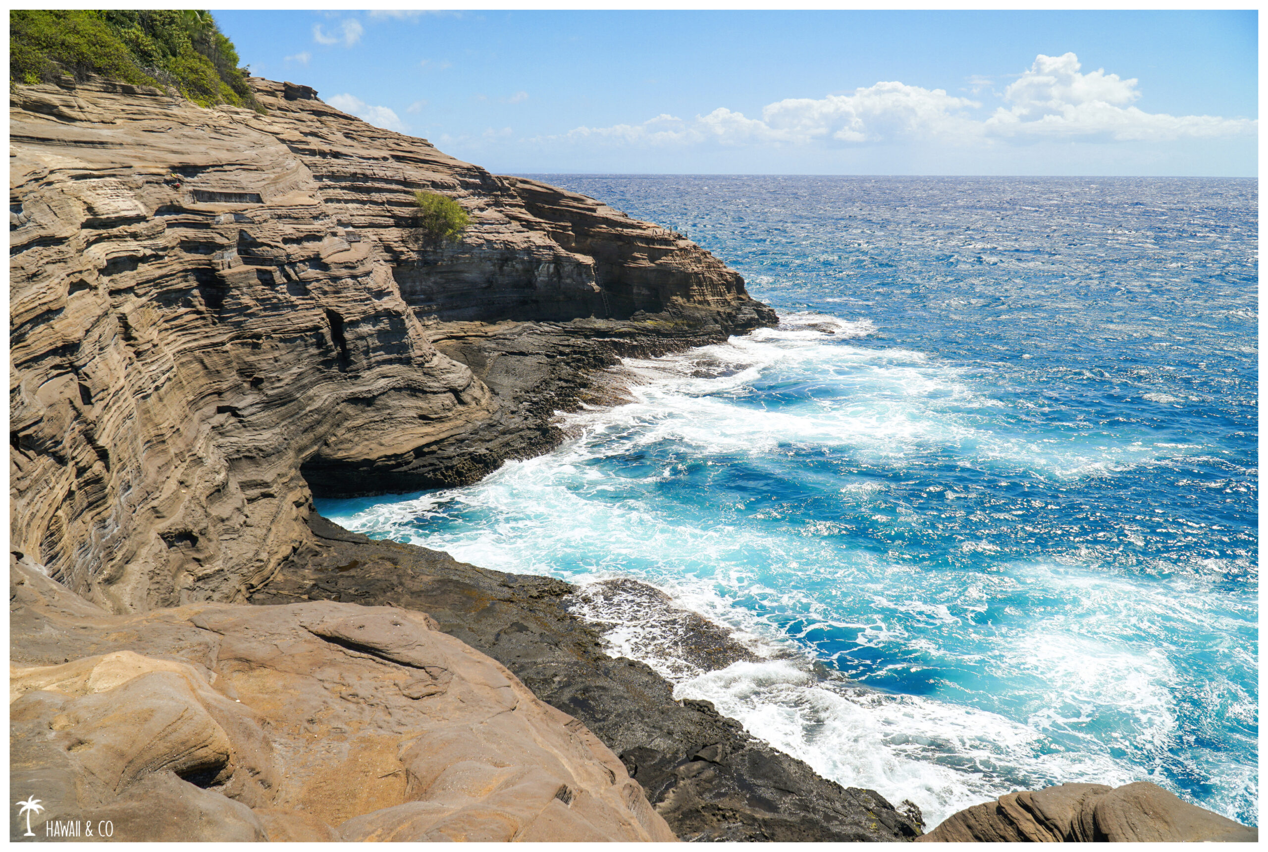
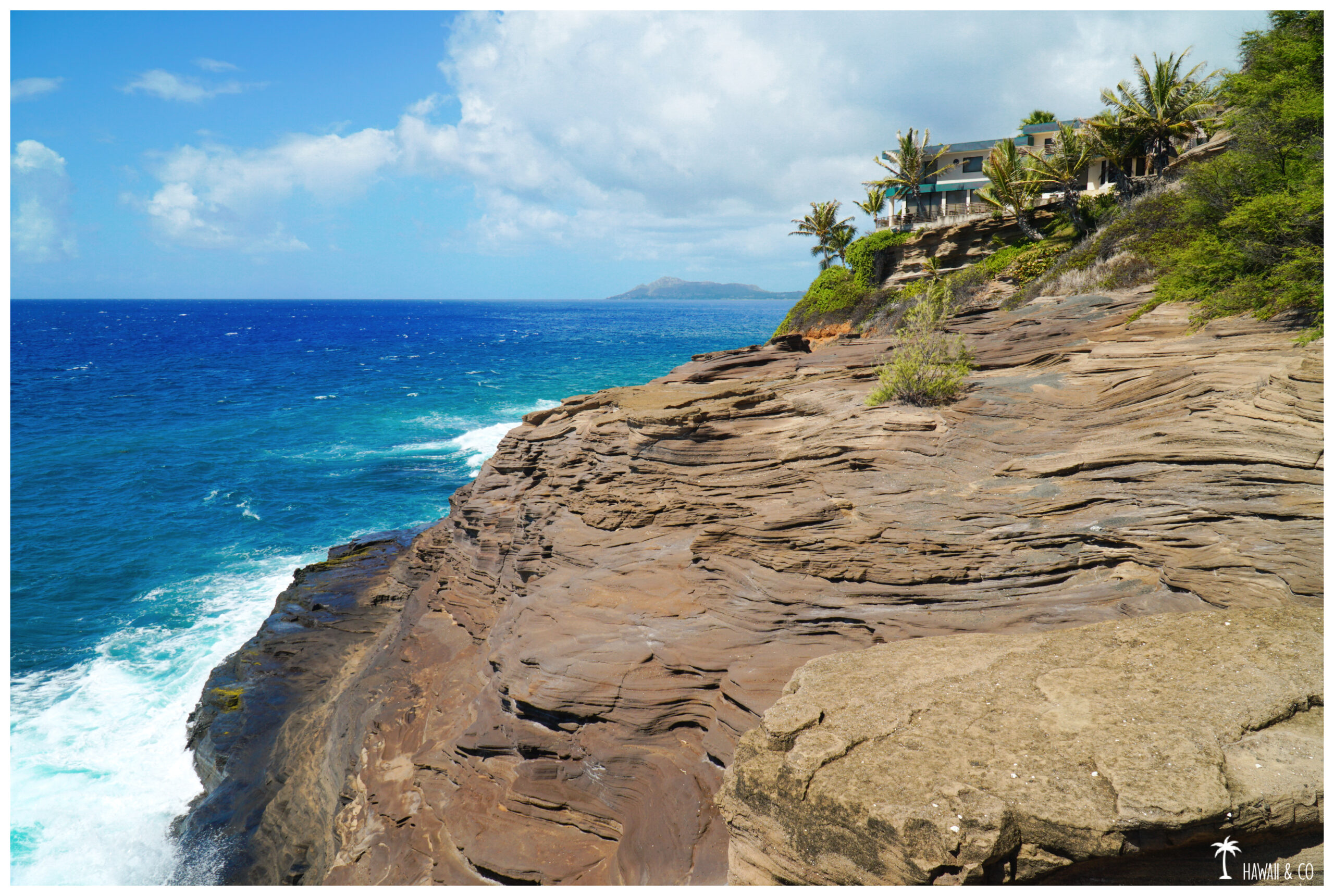
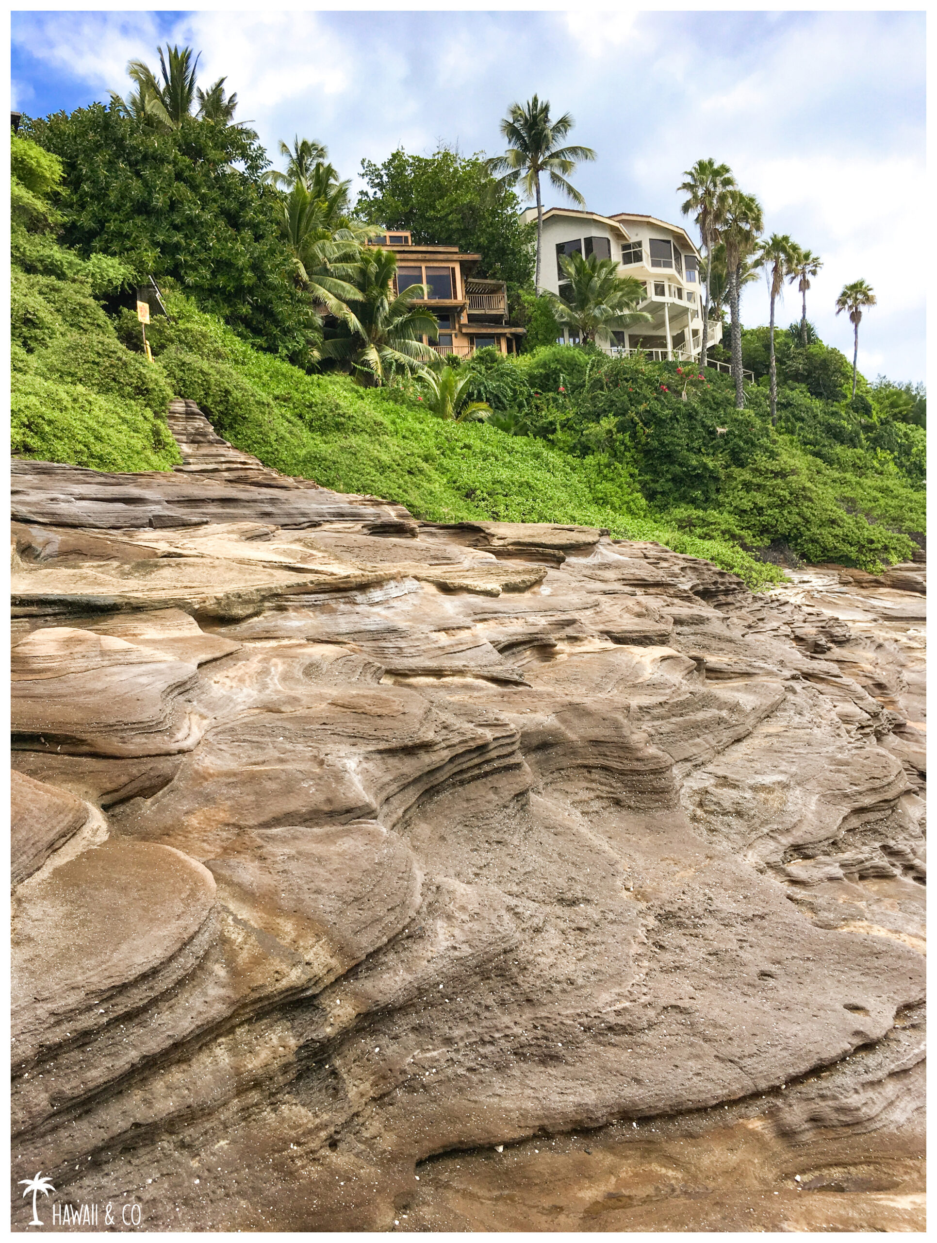
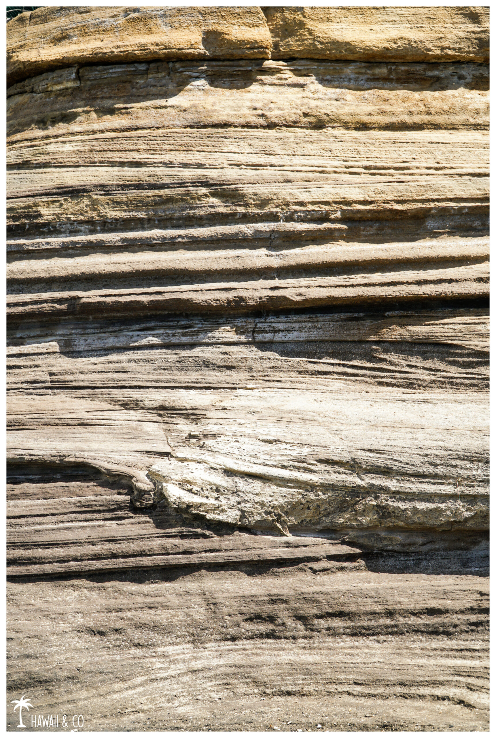
This curiosity is worth the visit because the area is very scenic : The cliffs have been made by successive stackings of strata from multiple eruptions, the volcanic ash being consolidated over time.
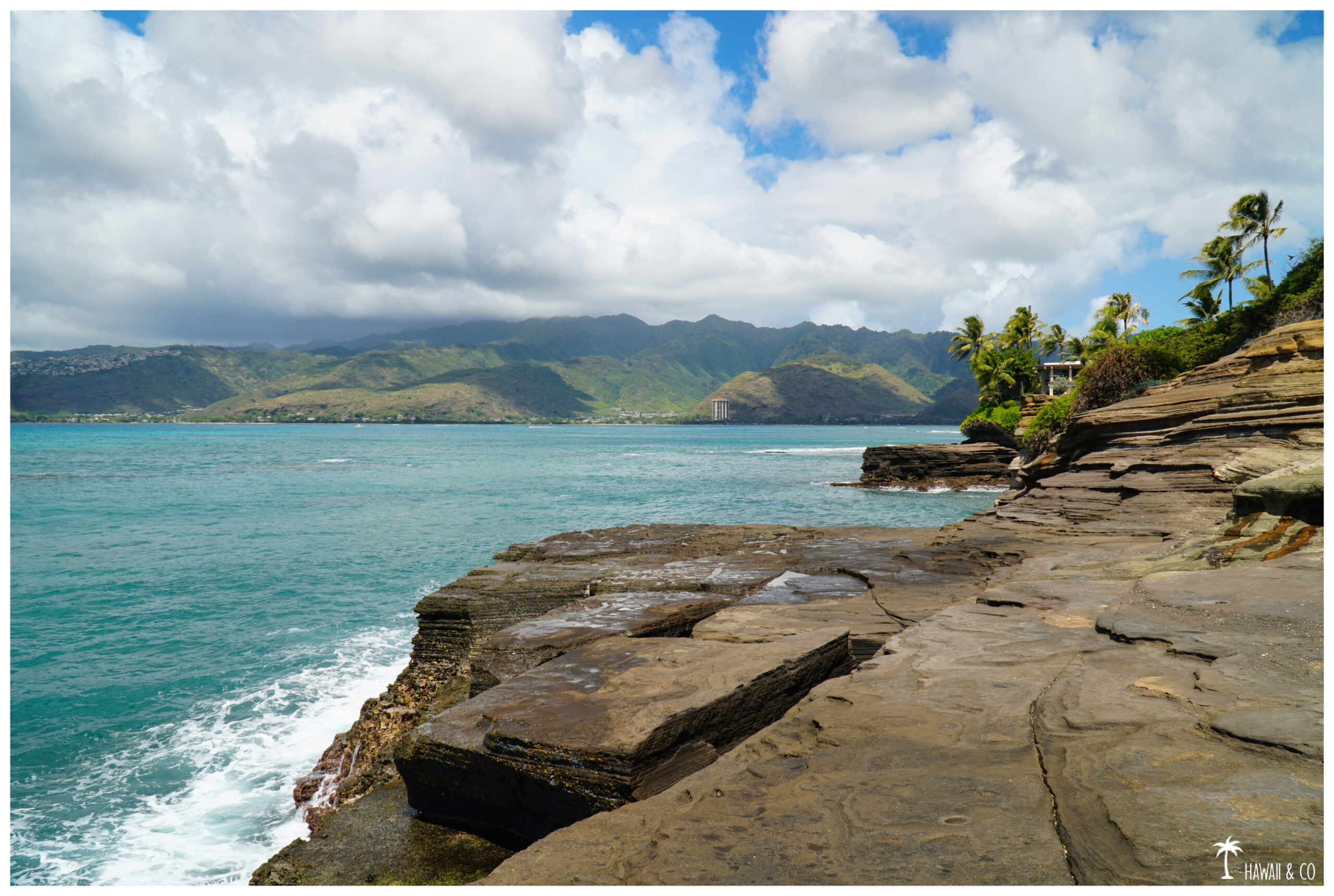
The coastline here is so wild, what a contrast with the white sandy beaches nearby !
The waves come crashing on the cliffs offering a non stop show and during winter, this place is a great spot for whales watching,
Spitting Cave is also a high place for cliff jumping but please don’t: several fatal accidents are listed every year …
China Walls
We are on the same geological profile as before but with lower cliffs.
So if you decide to lay on your towel for a moment, don’t stay too close to the edge. It is common for waves to pass over and take everything in their path … you first !
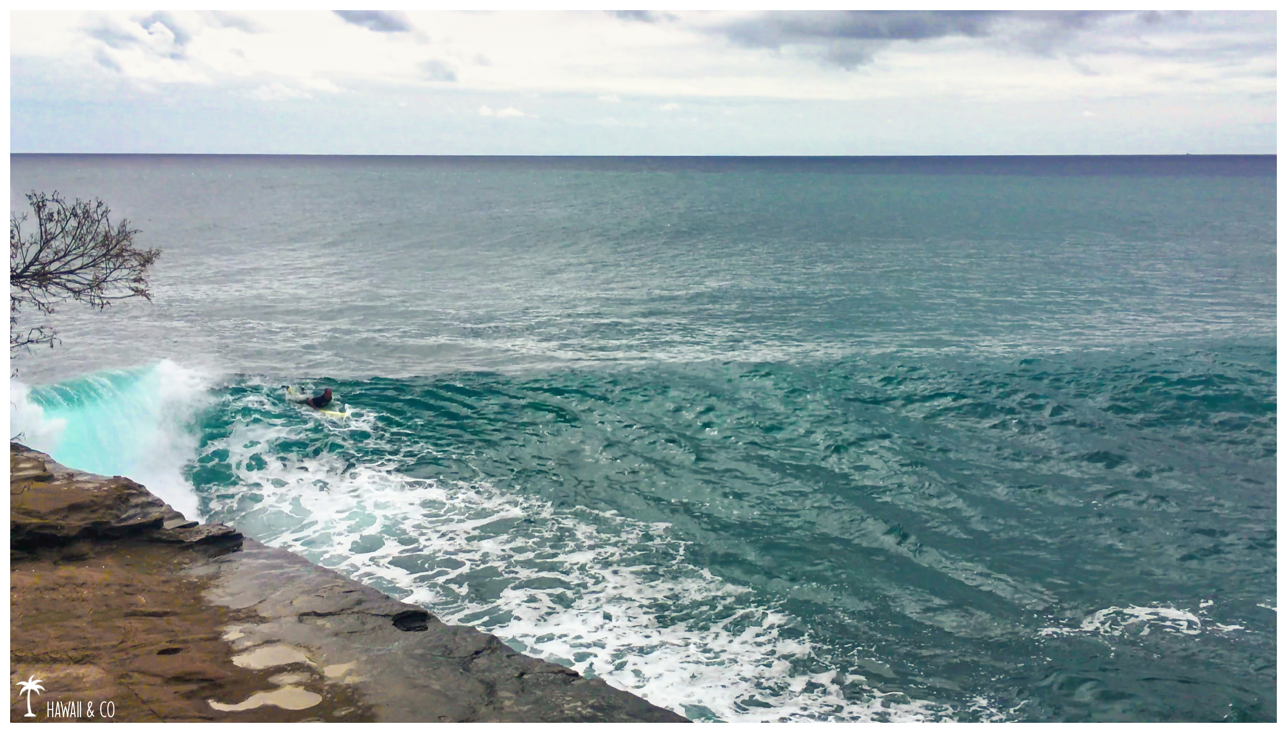
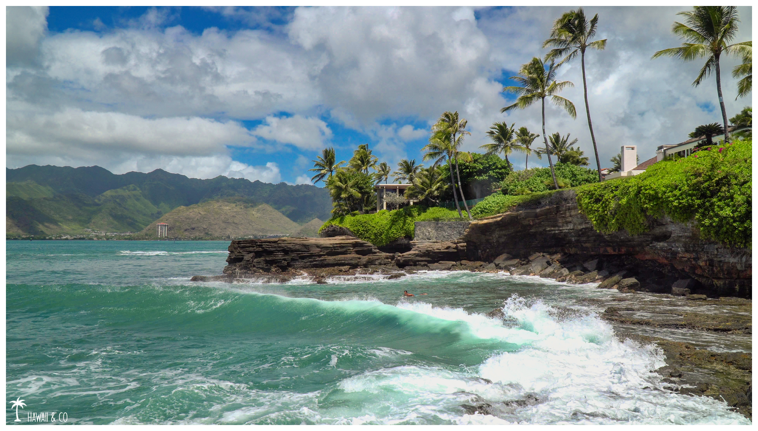
The surf here is dangerous but spectacular, the surfers having to take the wave near the rocks. That day, only one guy managed to get on his board.
Cliff jumping is also popular here when the water is calm. But again be very careful, the ascent is on slippery rocks and other waves arriving from behind can surprise you.
I”ve been told that the place was nice for sunsets too. I will come back later because the weather was really not good that day. I even had to stay more than 30 min in the car before I could finally get out because it was raining so hard.
Informations
200 meters
30 minutes / park
Spitting Cave
Park at the end of Lumahai street and look for the beach access sign 119A. The path might be hidden under the thick foliage of the surrounding trees. Steep and short, you will reach the site in less than 5 minutes !
Be careful in case of rain, the place can become very slippery, both on the muddy path and on the smooth lava.
China Walls
Access ( 120A ) is made via a small park, the Koko Kai Mini Beach Park. Follow the slabs, they will lead you to the “beach” which is not really one since you will not find any grain of sand …🤣
Spitting Cave and China Walls are very popular spots among locals.
On China Walls especialy, many young people come here to drink beers and listen to music while watching the sunset. If you like a quiet place, be aware that you will probably not be the only ones watching the last rays of lights.
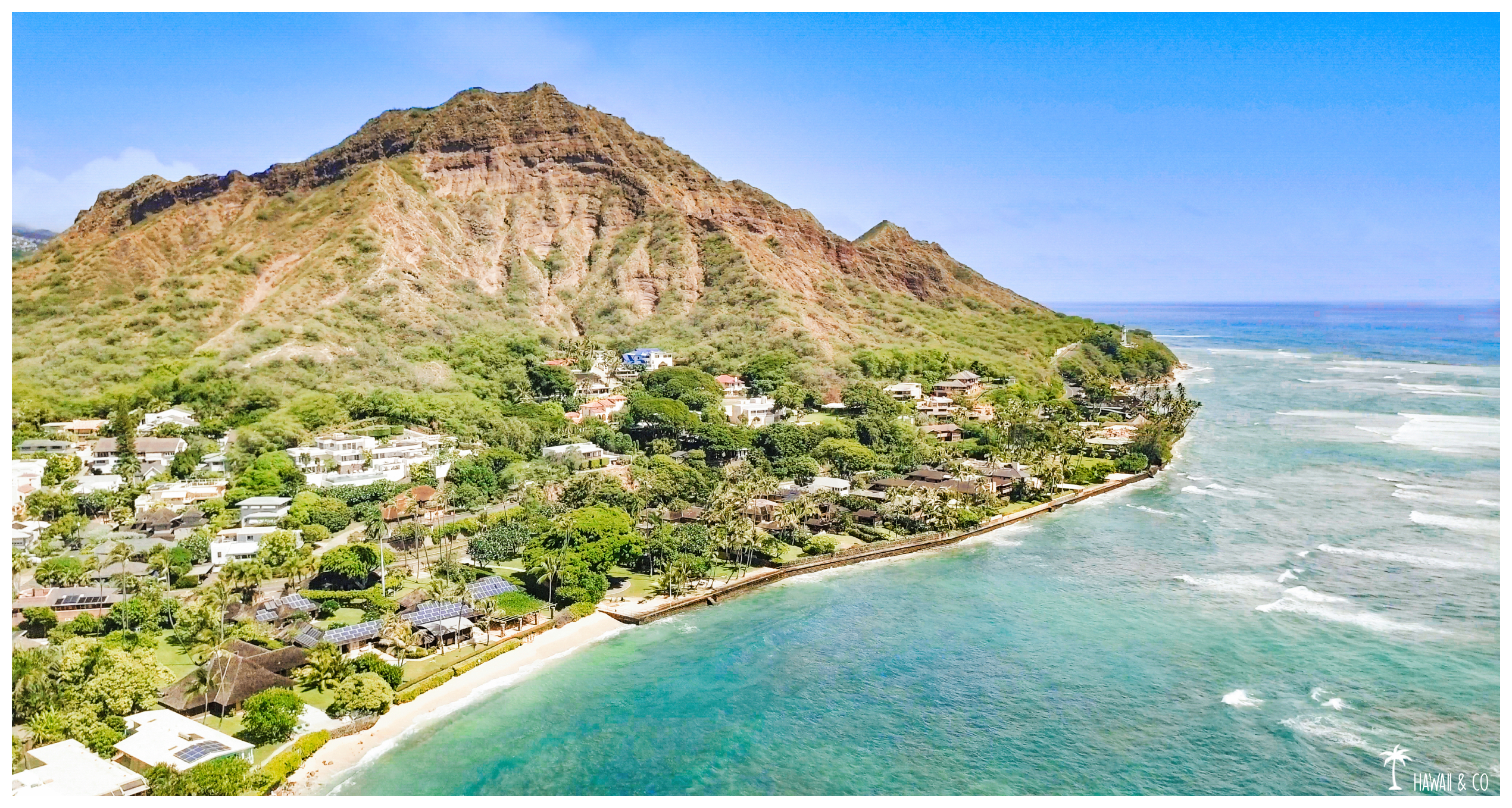
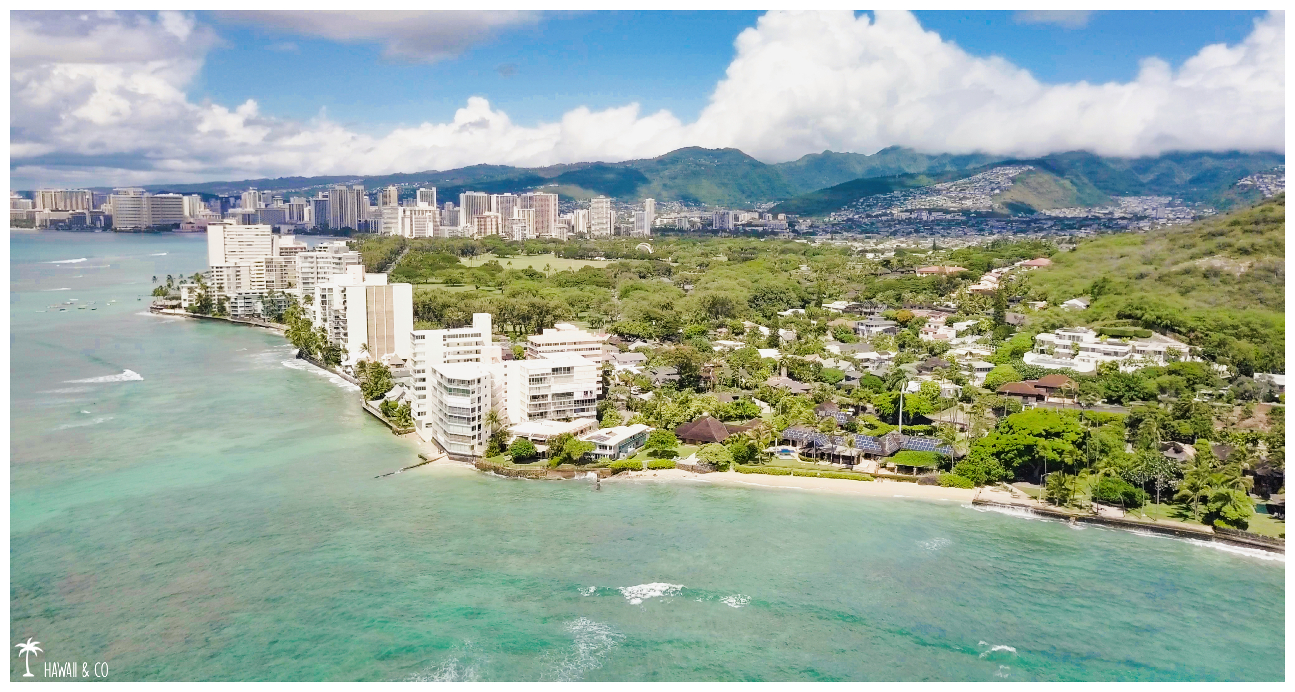
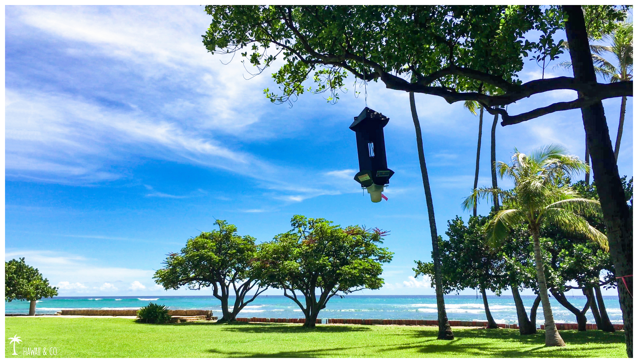
I was walking along Diamond Head Road when I discovered the Makalei Beach Park.
I was on my way back to Waikiki after spending a few hours at Diamond Head Beach Park watching the surfers and flying the drone.
Arriving near Makalei Beach Park, I came across a group of tourists with Segways venturing into the park. That’s when I had the idea of following them, telling me that if the guide took them here it was for a good reason!
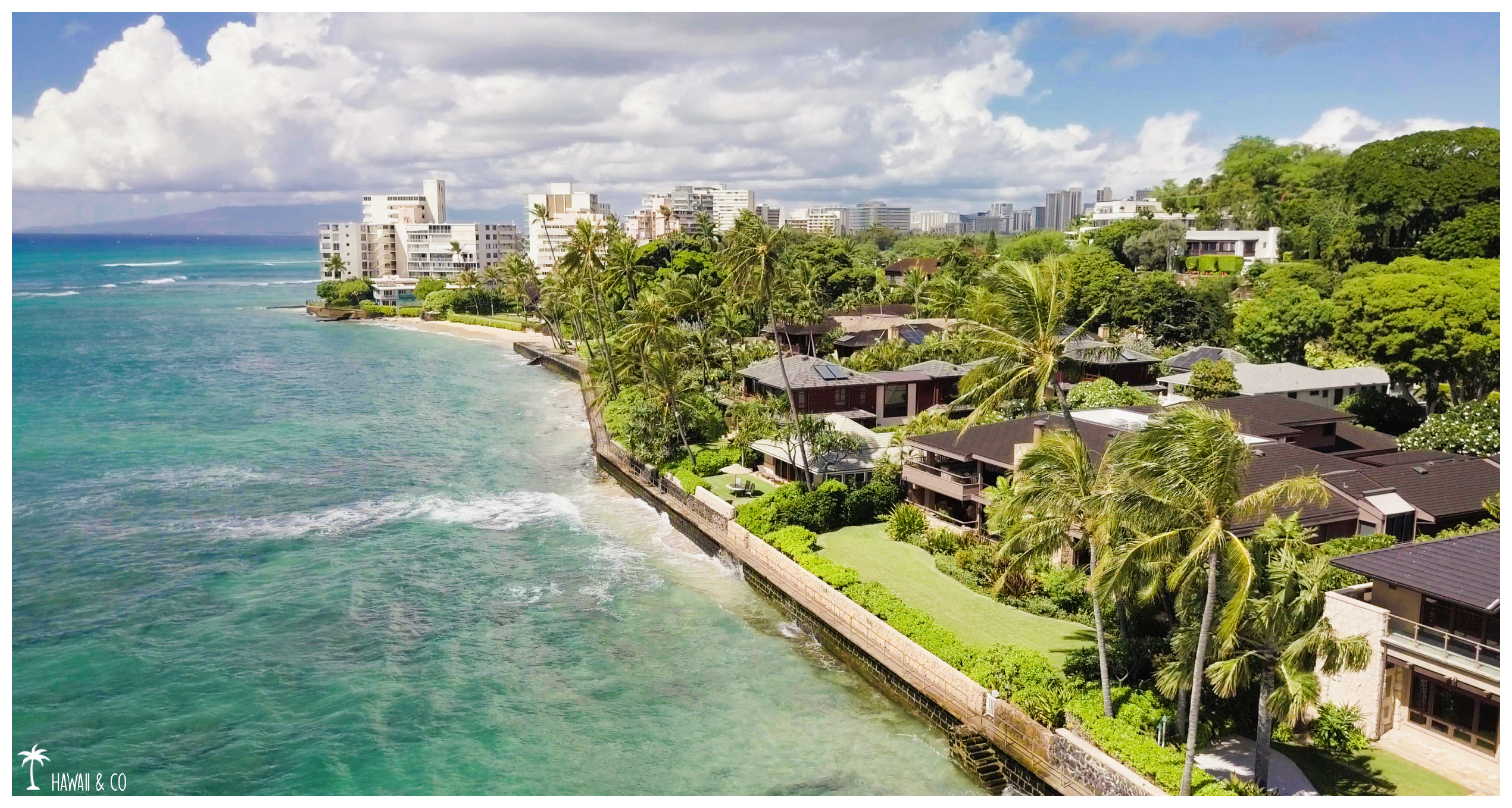
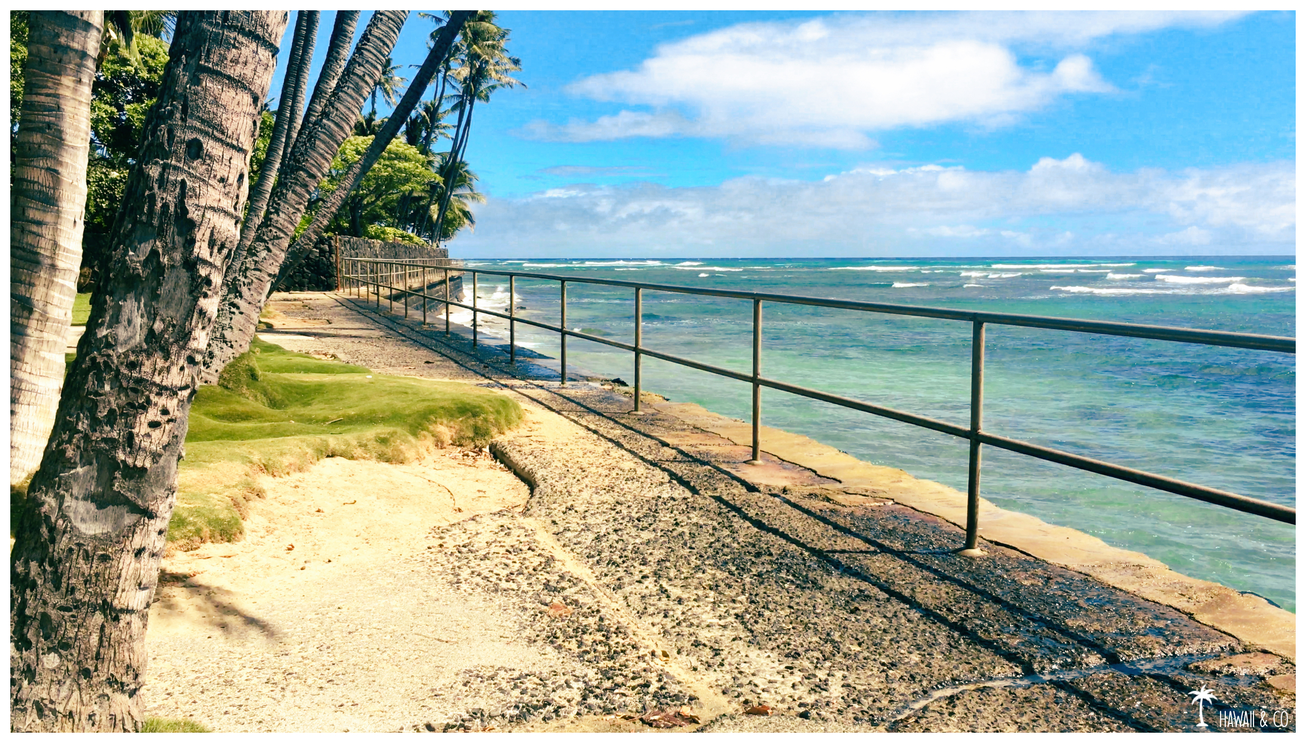
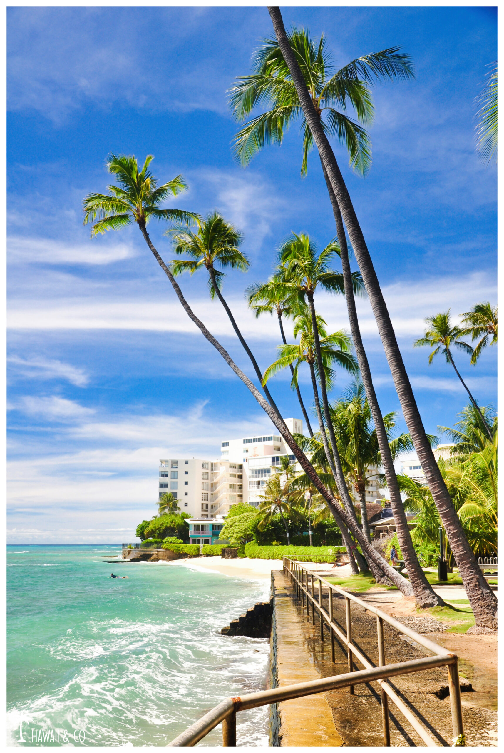
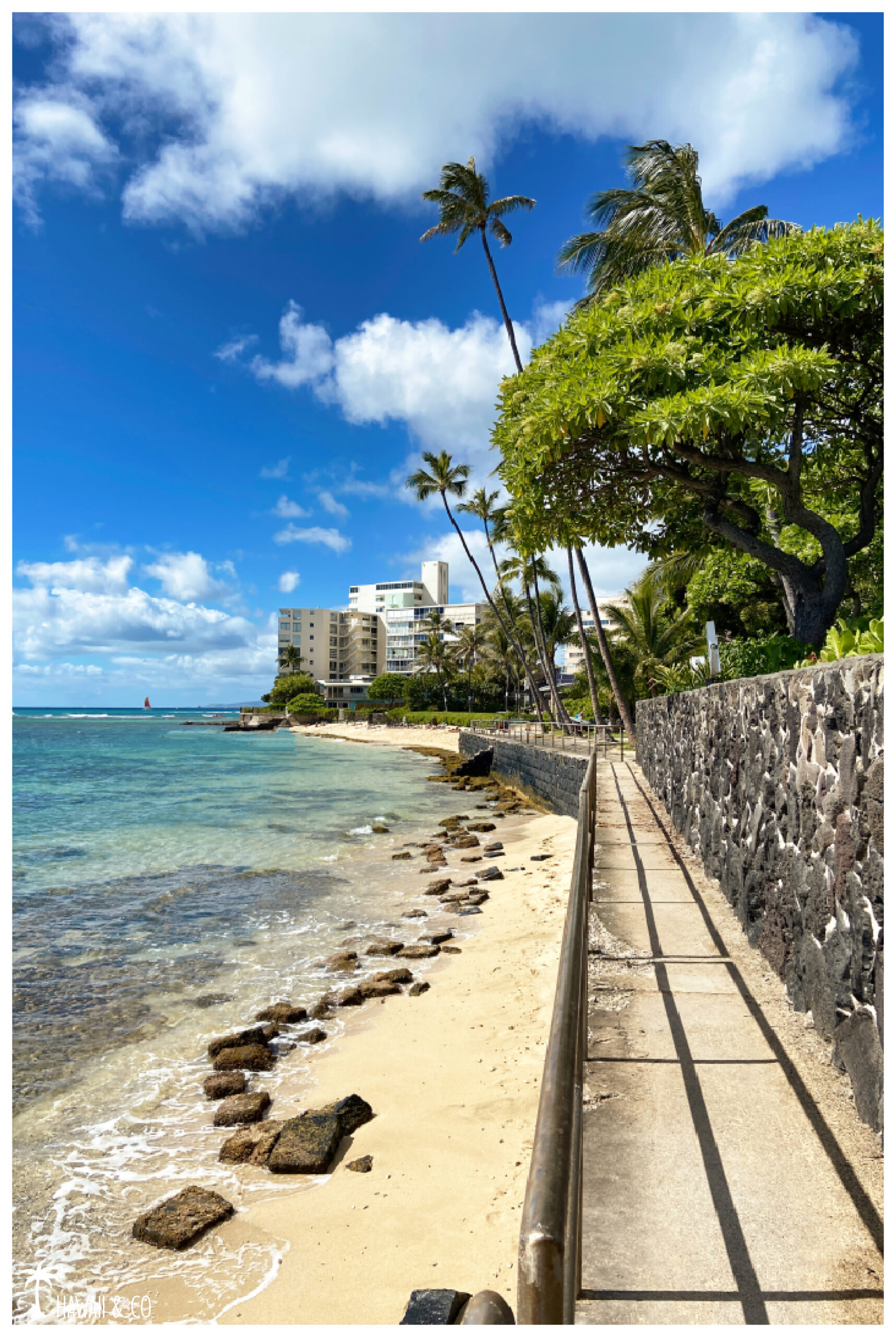
And I confirm, this place is a gem. Cherry on top, the park is connected to the Leahi Beach Park by a walkway along the waterfront, offering a beautiful and short walk !
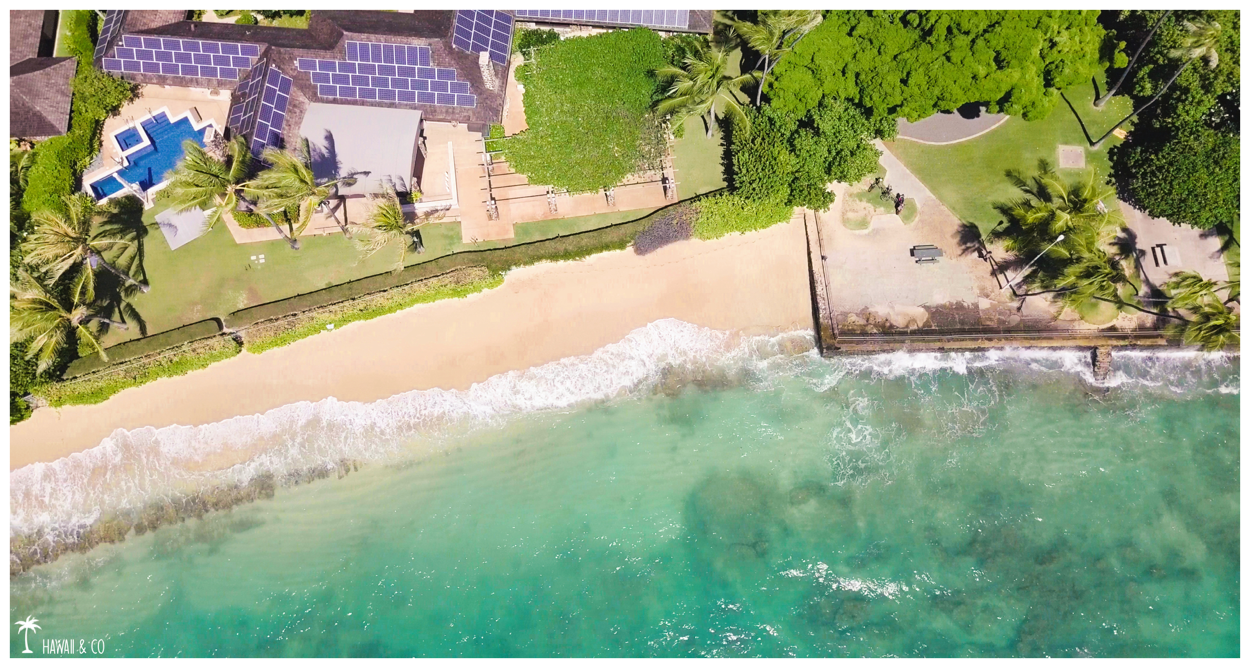
The highlight of Makalei Beach Park is its small white sandy beach.This is mostly because it is not visible from the road.It’s the perfect place to escape the frenzy of Waikiki and stay with locals.
The swiming conditions are limited because of the reef. However you can find some sandbanks, your feet will thank you!The water is very clear and the place seems good for snorkeling.
The park provides a lot of shade.In the middle, under a huge Banyan, you’ll find a few picnic tables.Showers are also available which is very pleasant.
You will also cross a lot of surfers who enter the water here to reach some famous spots around.But with names like Suicides or Graveyards we do not really want to follow them !
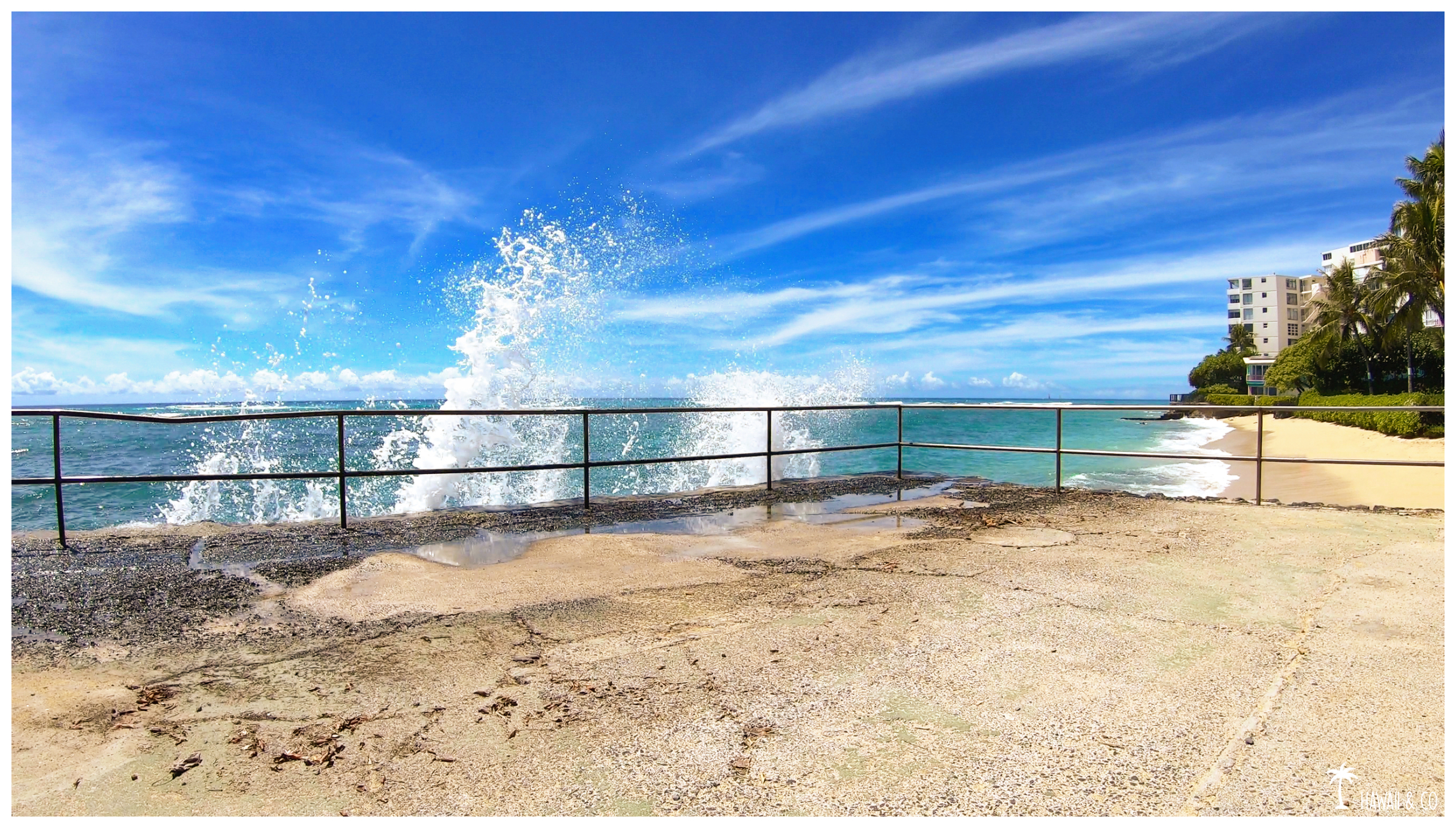
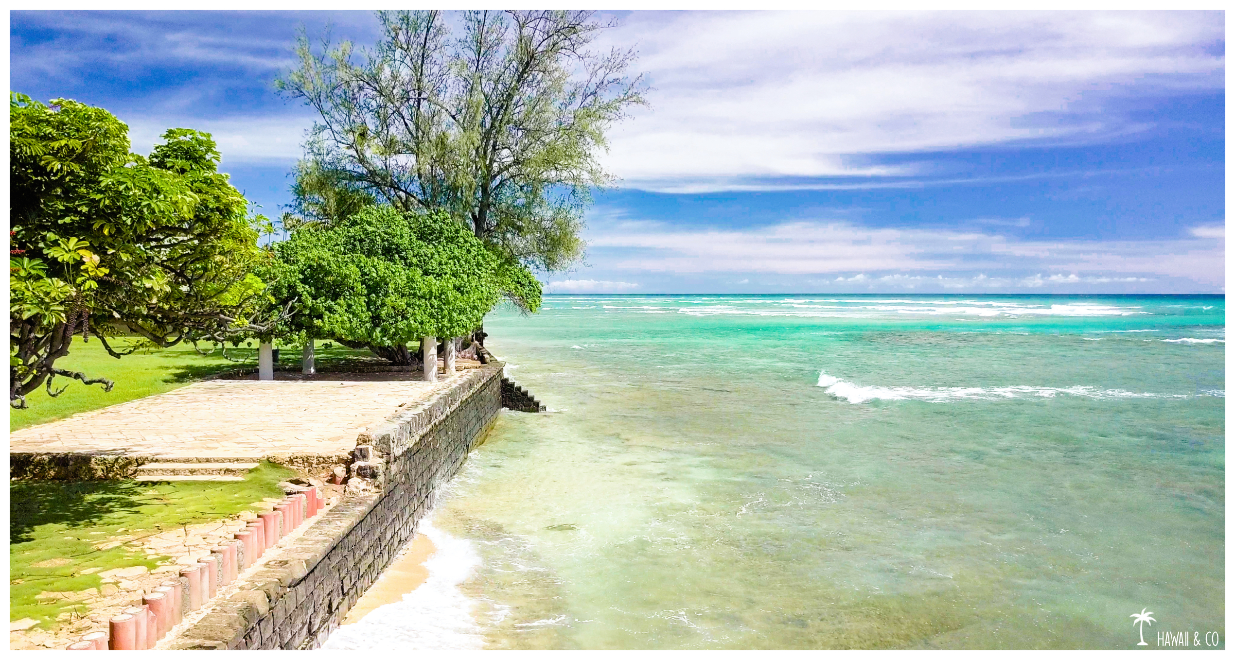
At the end of the park, there is a stone seewall. You can see the waves crashing over it. Keep your distances if you don’t want to be watered !😉
On the right a few steps give access to the beach while on the left, a narrow walkway leads to Leahi Beach Park.
In theory it should take you only 5 minutes but the place is so photogenic…plan a little more time!
Leahi Beach Park
And here’s how you end up at Leahi Beach Park!
Nothing fancy here, even though the park is very peaceful and the ocean’s view still amazing.
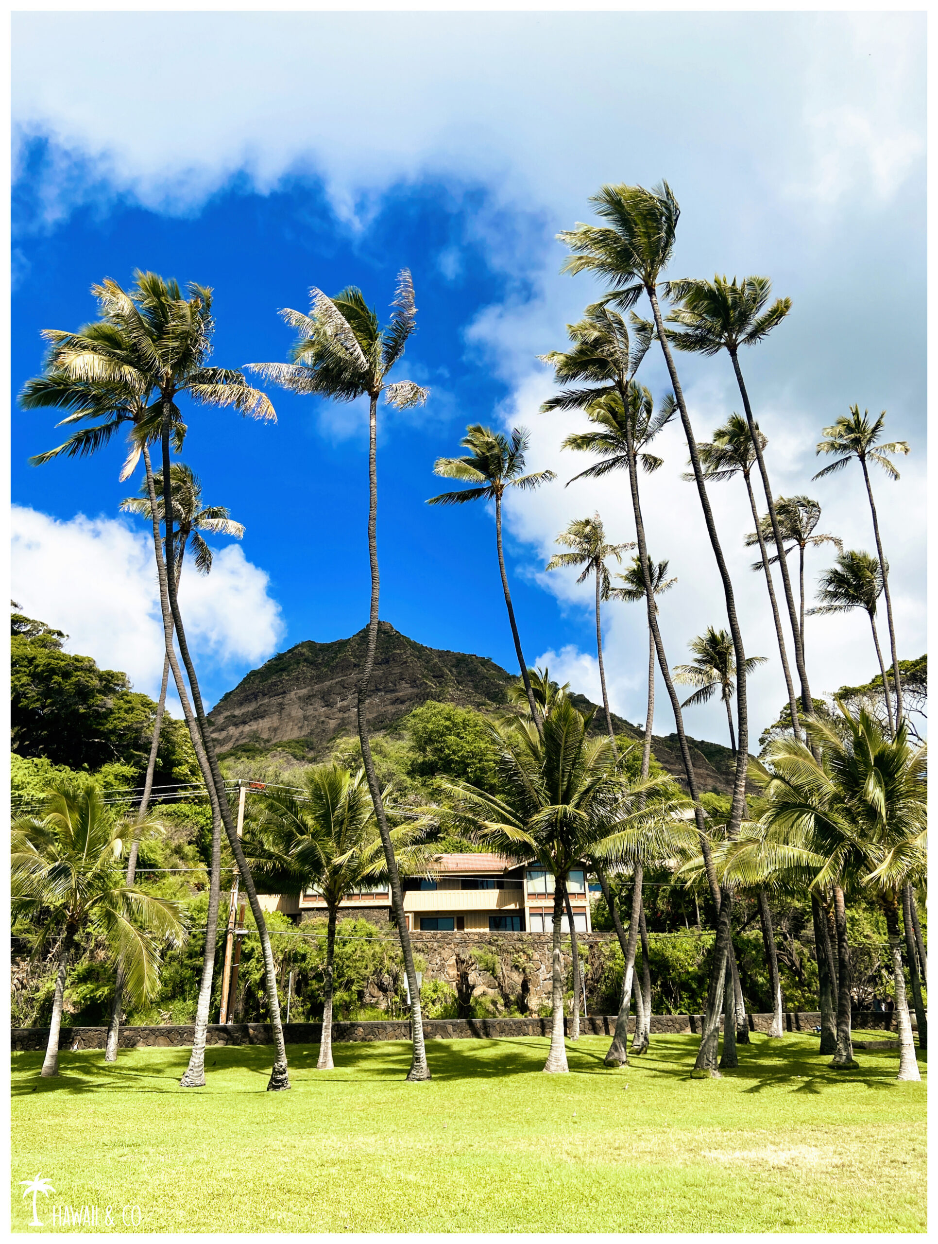
The lawn is so thick it’s really comfy. This is the perfect place for a short break especially since many hummingbirds can be observed in the park.
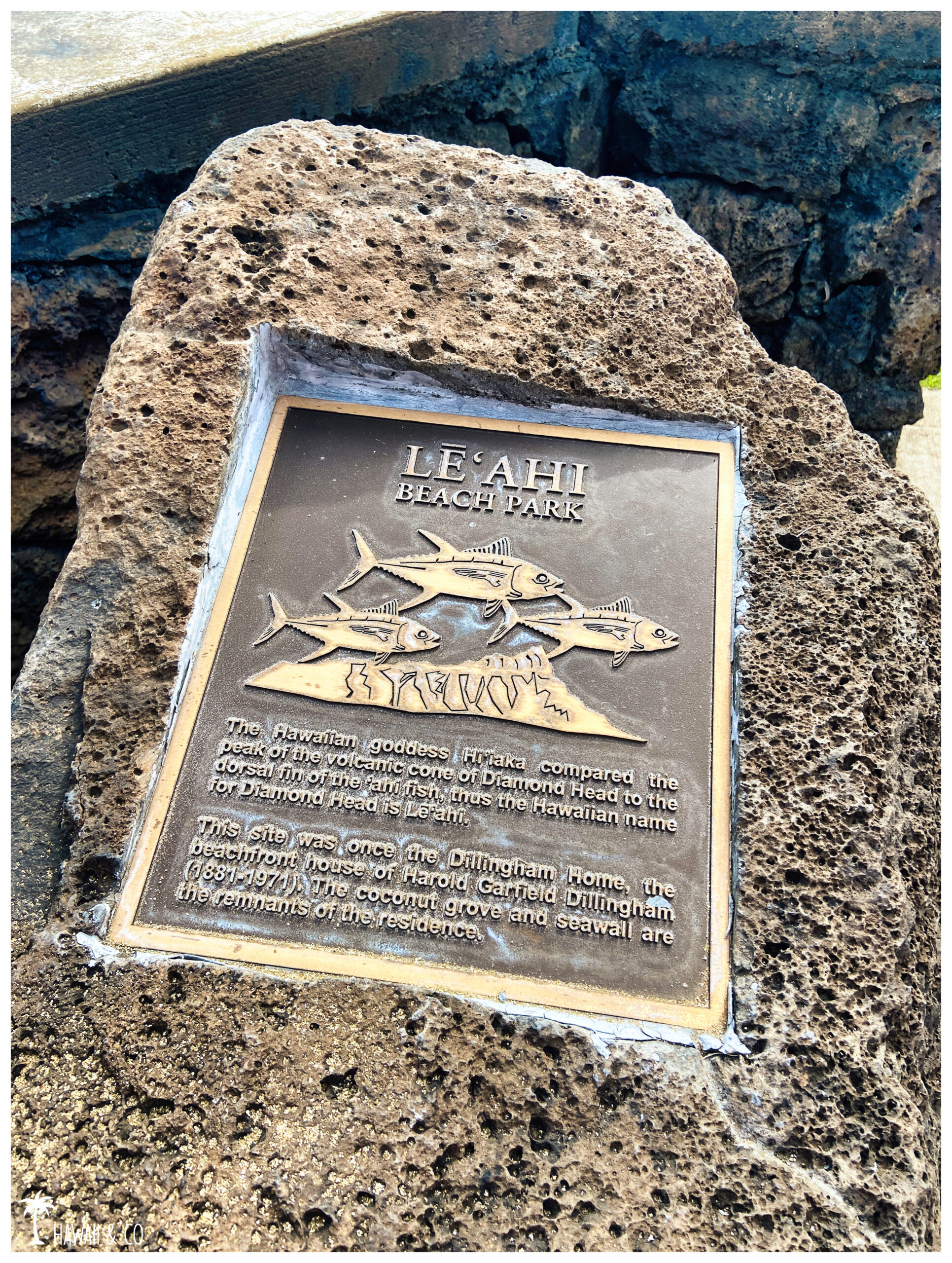
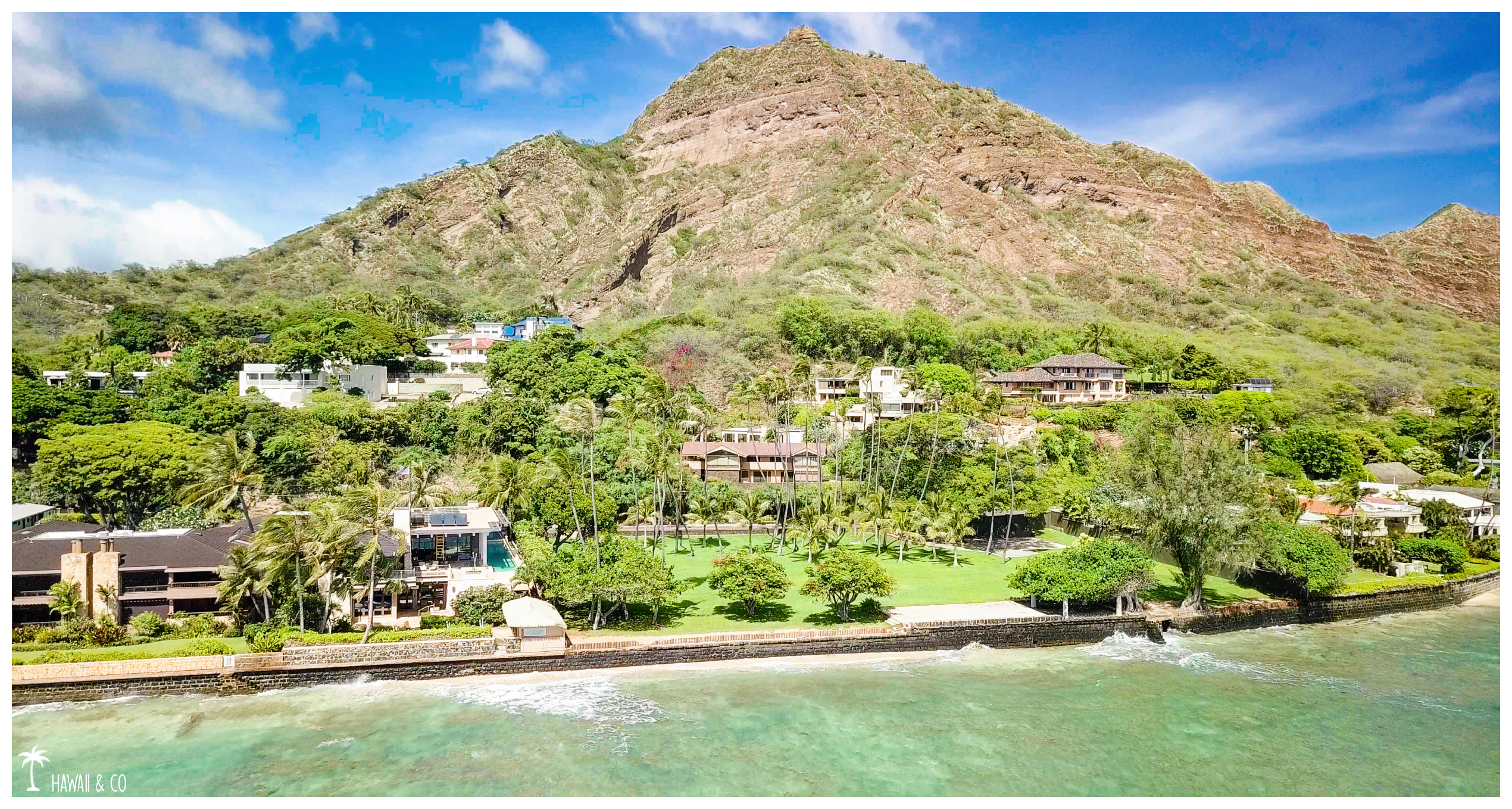
Diamond Head overlooking the park, this one inherited itsHawaiian name: Lēʻahi
Informations
300 m
1h for both of them
Makalei Beach Park: 3111 Diamond Head Rd
Leahi Beach Park: 3187 Diamond Head Rd
No parking! But a correct walking distance.From the zoo, it takes about 20 minutes.By car, you can get closer and park around the Kapiolani Park on Kalakaua Ave or Paki Ave.
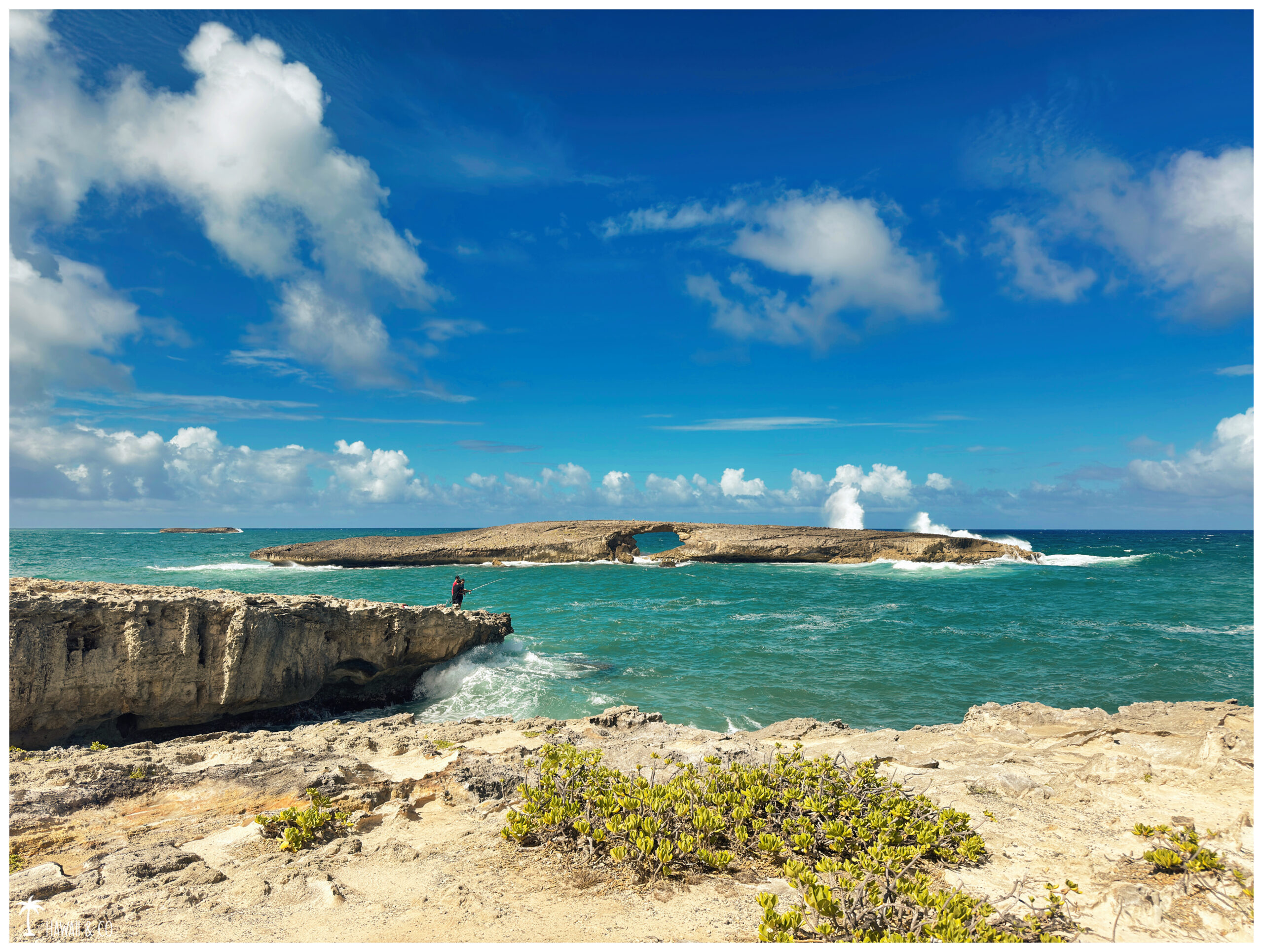
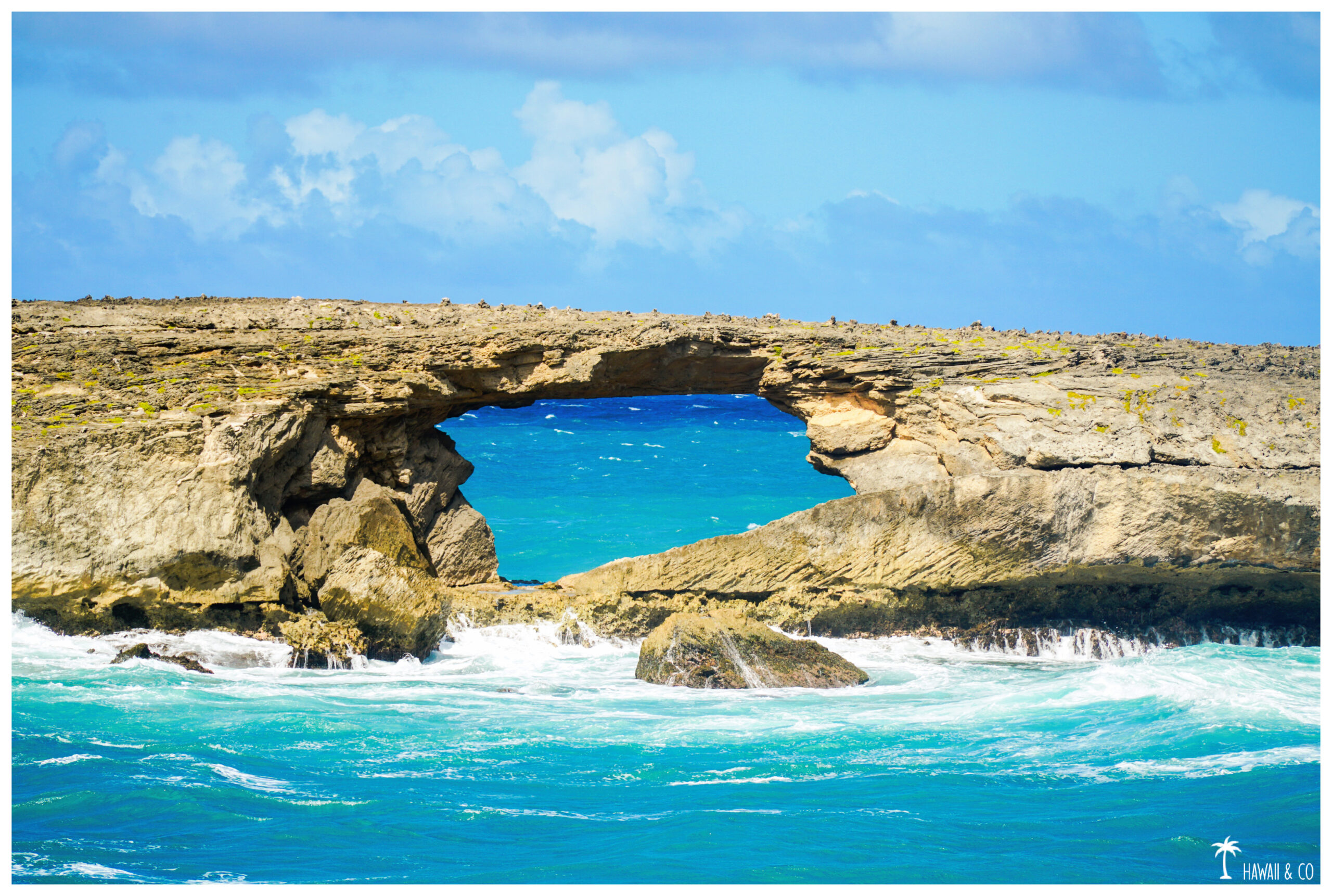
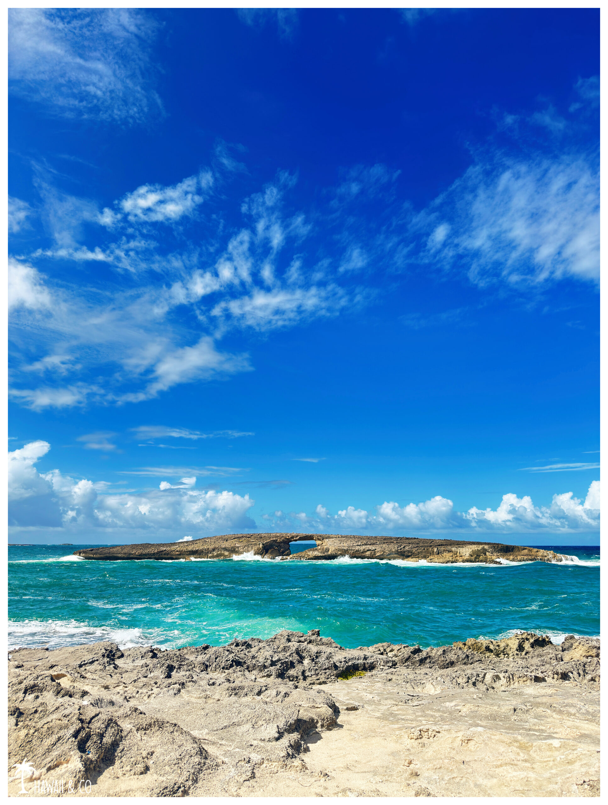
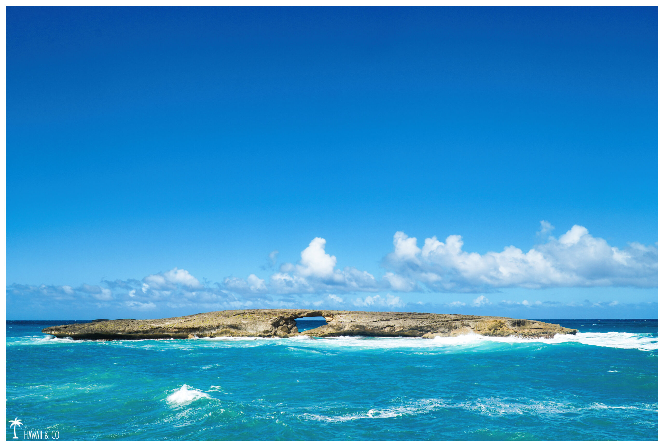
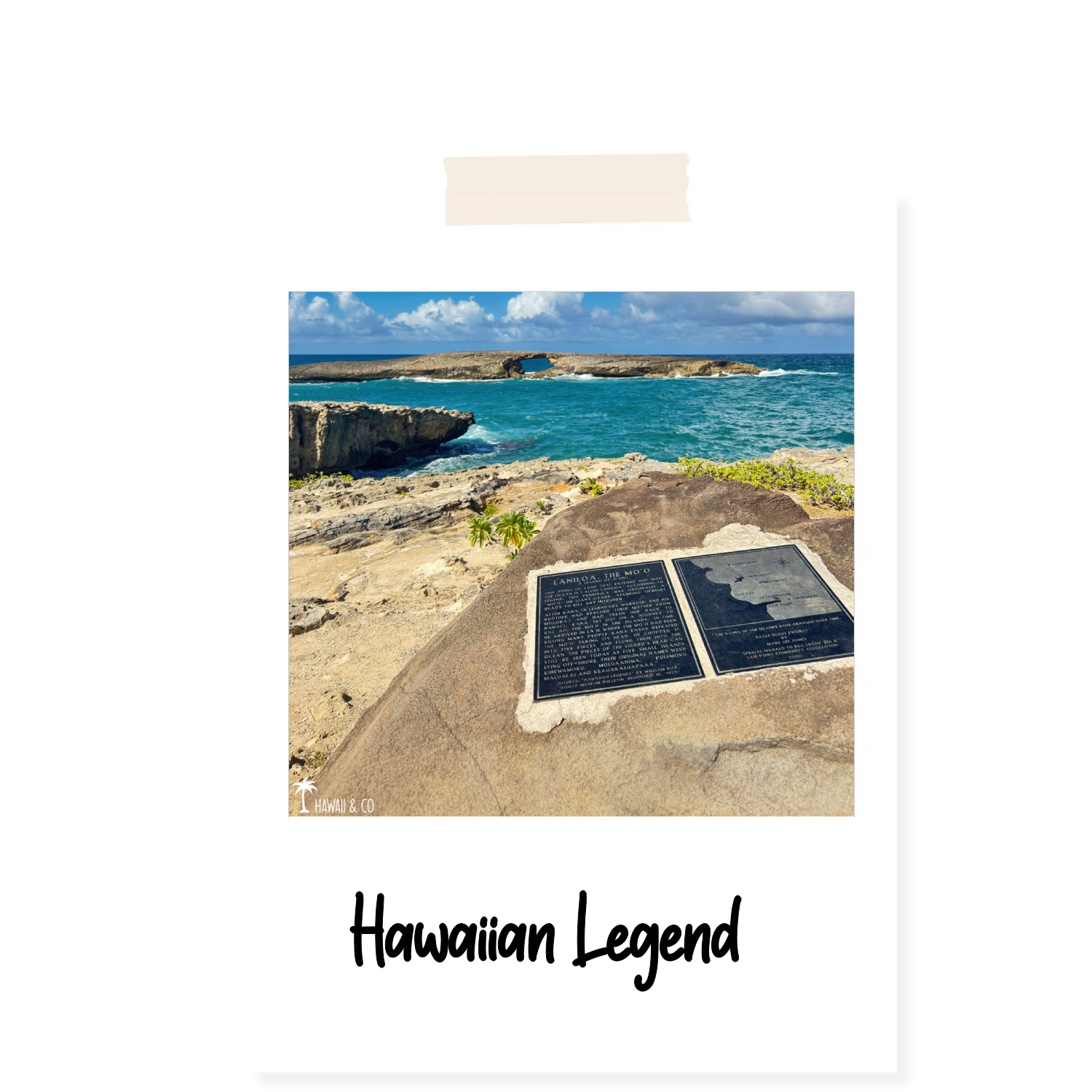
Located at the end of the Laniloa Peninsula, the main interest of the Laie Point State Wayside Park more commonly known as Laie Point is its famous islet with a hole ( puka ) in the middle.This natural arch, symbol of this place, was formed after a tsunami in April 1946.
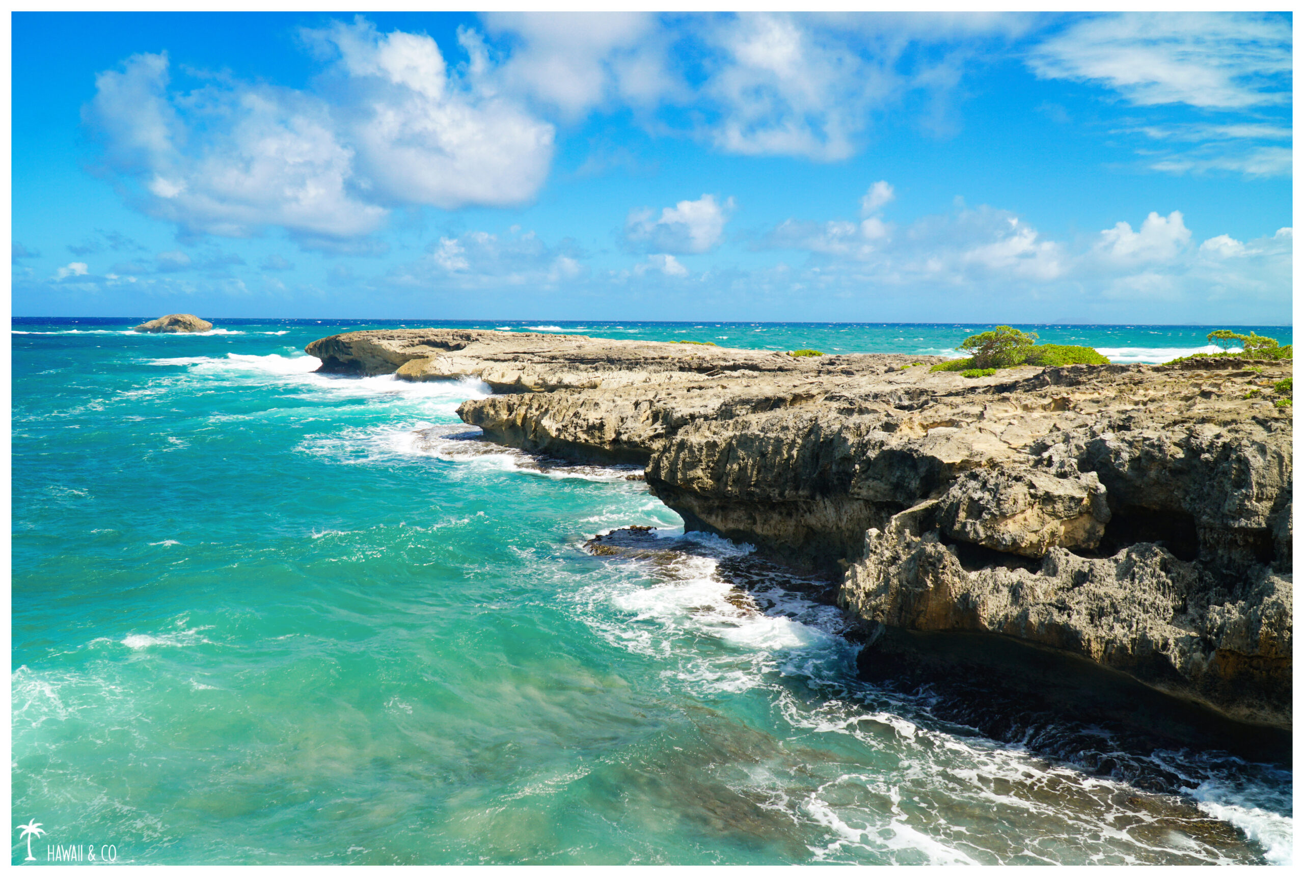
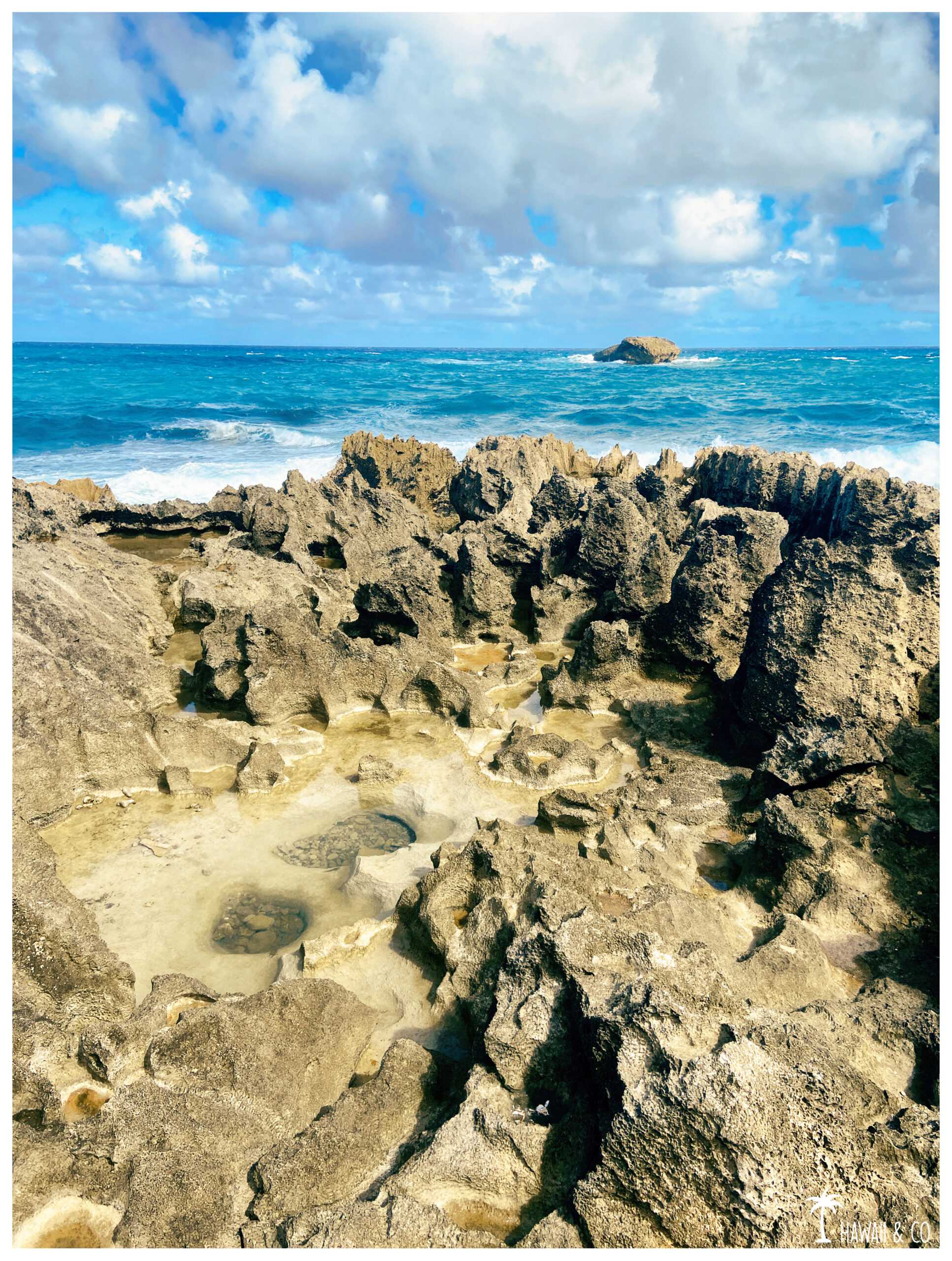
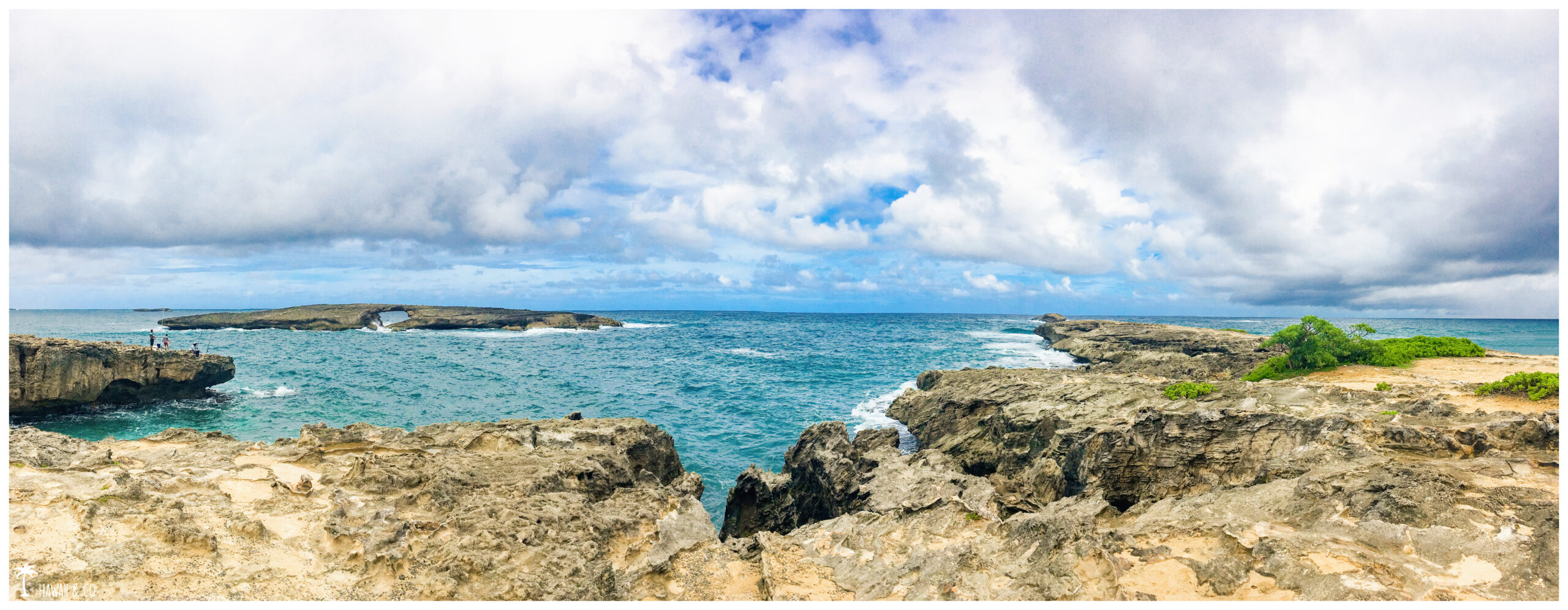
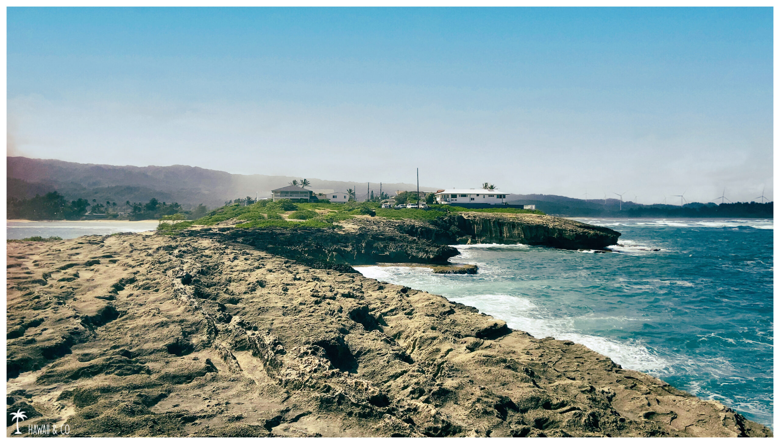
Close to the Polynesian Cultural Center, this place worth the visit: Lāʻie Point State Wayside Park is one of the wildest panoramas you can find on the island, with a rugged shoreline exposed to the forces of the ocean. This creates an almost surreal landscape for Hawaii.
And the panoramic view of the Koolau Mountains is amazing too.
It is also an excellent observation spot for seabirds, as the surrounding islets serve as nesting areas for several species.
Laie Point is also popular for fishing , and when conditions are good it is also a famous spot for cliff jumping.But be careful: currents are very strong and it can be difficult to judge the depth of the water.So be extremely careful if you decide to jump.
Laʻie Point is more than a scenic place: it is also steeped in history and Hawaiian legends.
According to one of them, some of the offshore islets have been formed by the pieces of an ancient “moʻo”, a mythical creature, kind of giant lizard defeated by a legendary warrior named Kana.
The legend of Laniloa the mo’o can be read on this granite plaque attached to a boulder in the park.
Informations
30 min
End of Naupaka St, Laie, HI 96762
From Kamehameha Highway ( Hwy 83 ) turn onto Foodland on Anemoku Street. Then take a right and go to the end of Naupaka Street.
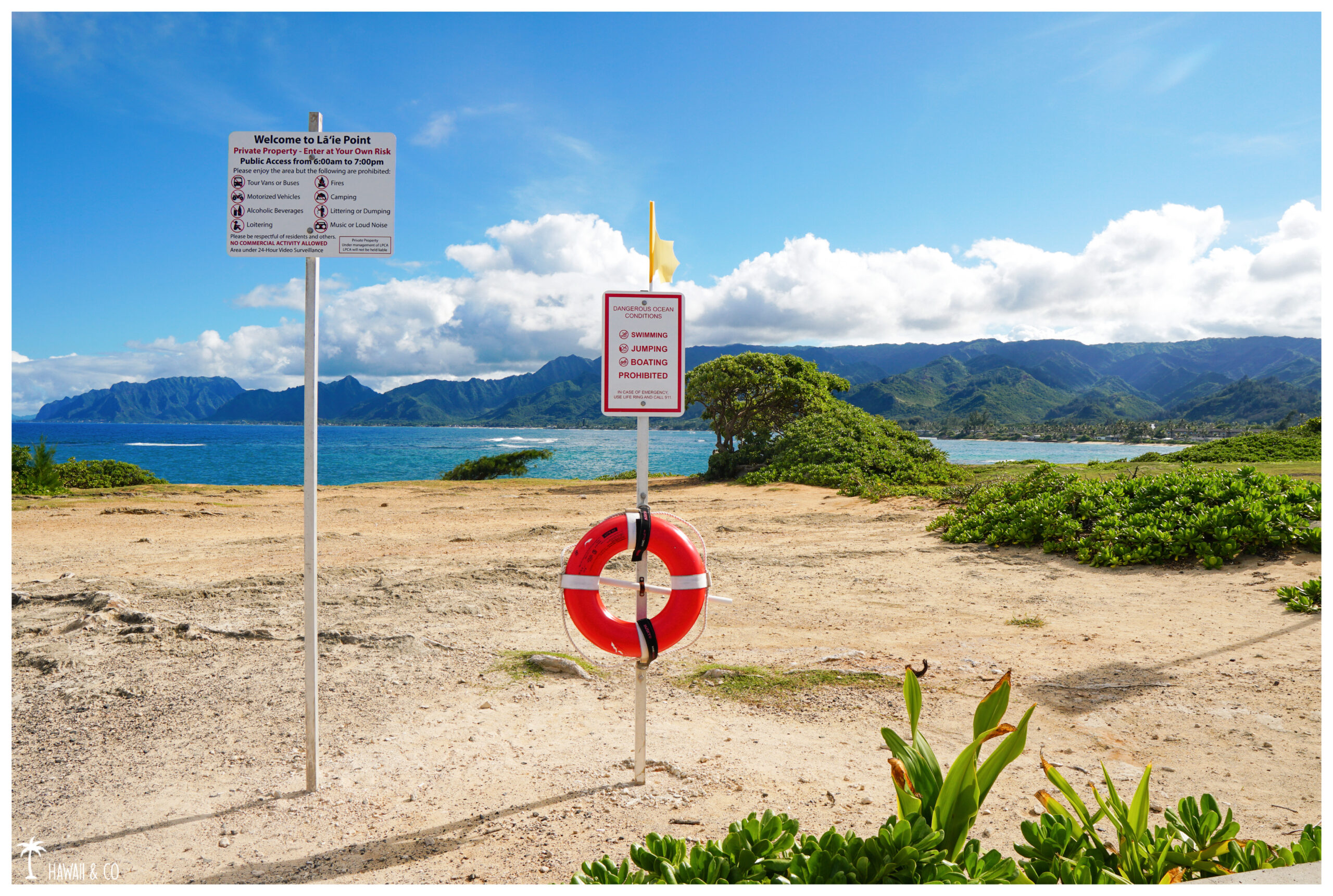
Parking is extremely limited as the entrance is at the end of a residential aera. Please respect the neighbors by enjoying this small scenic lookout without blocking driveways or other vehicles.
The first thing that comes to mind when we talk about Koko Head are the famous stairs, a relic of an old tram line that takes you to the top of the crater after a challenging hike of 1048 steps …
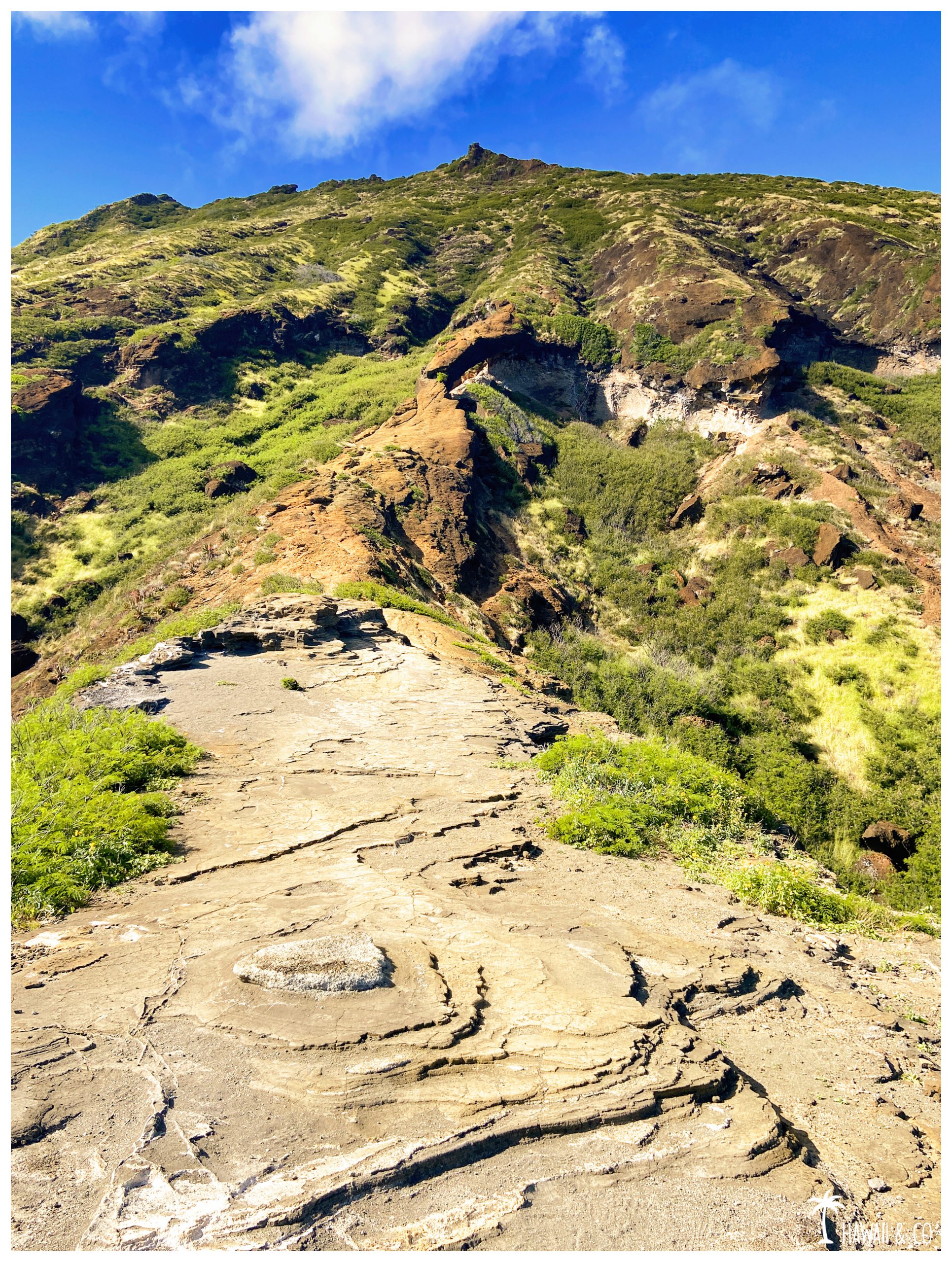
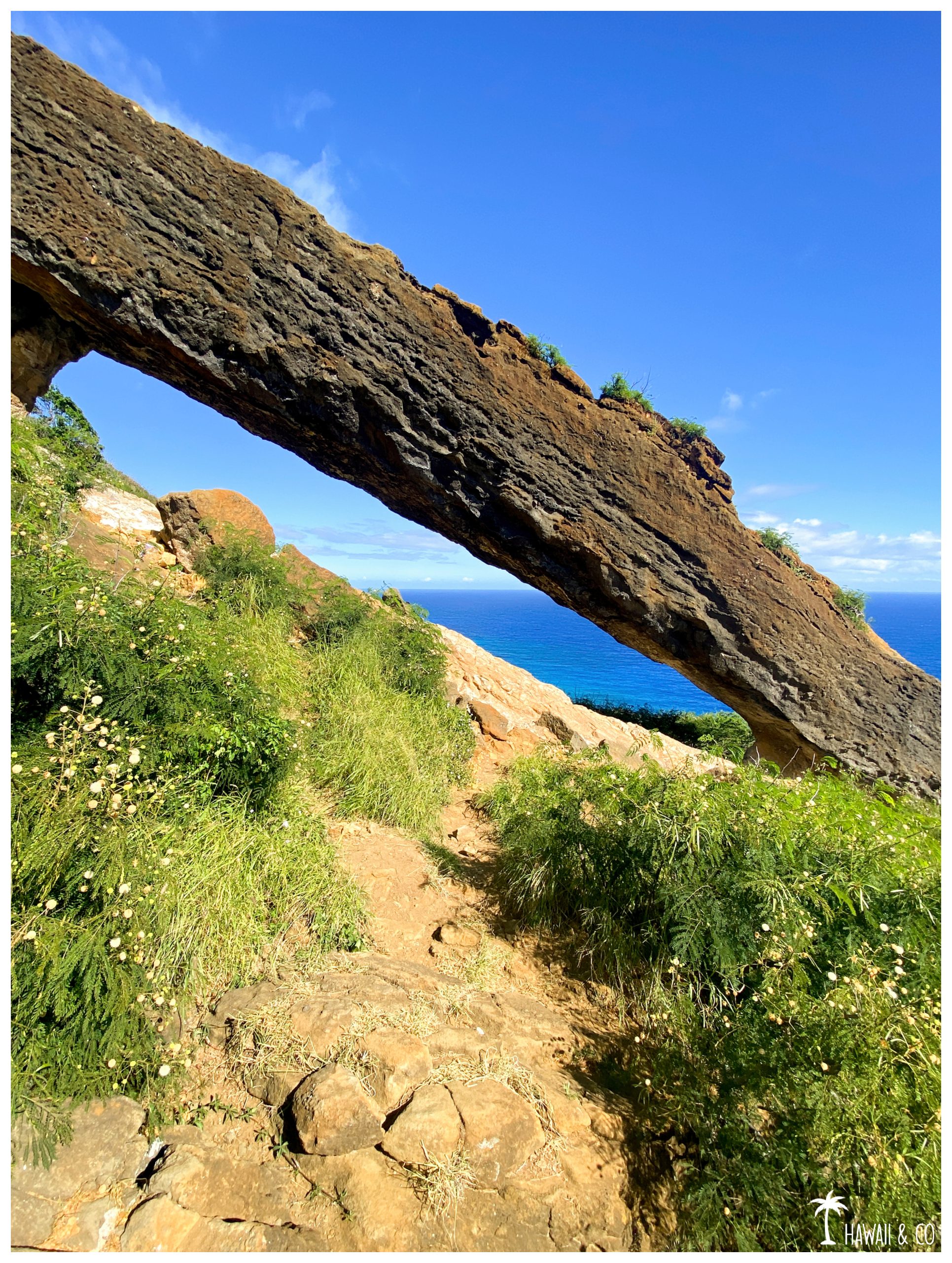
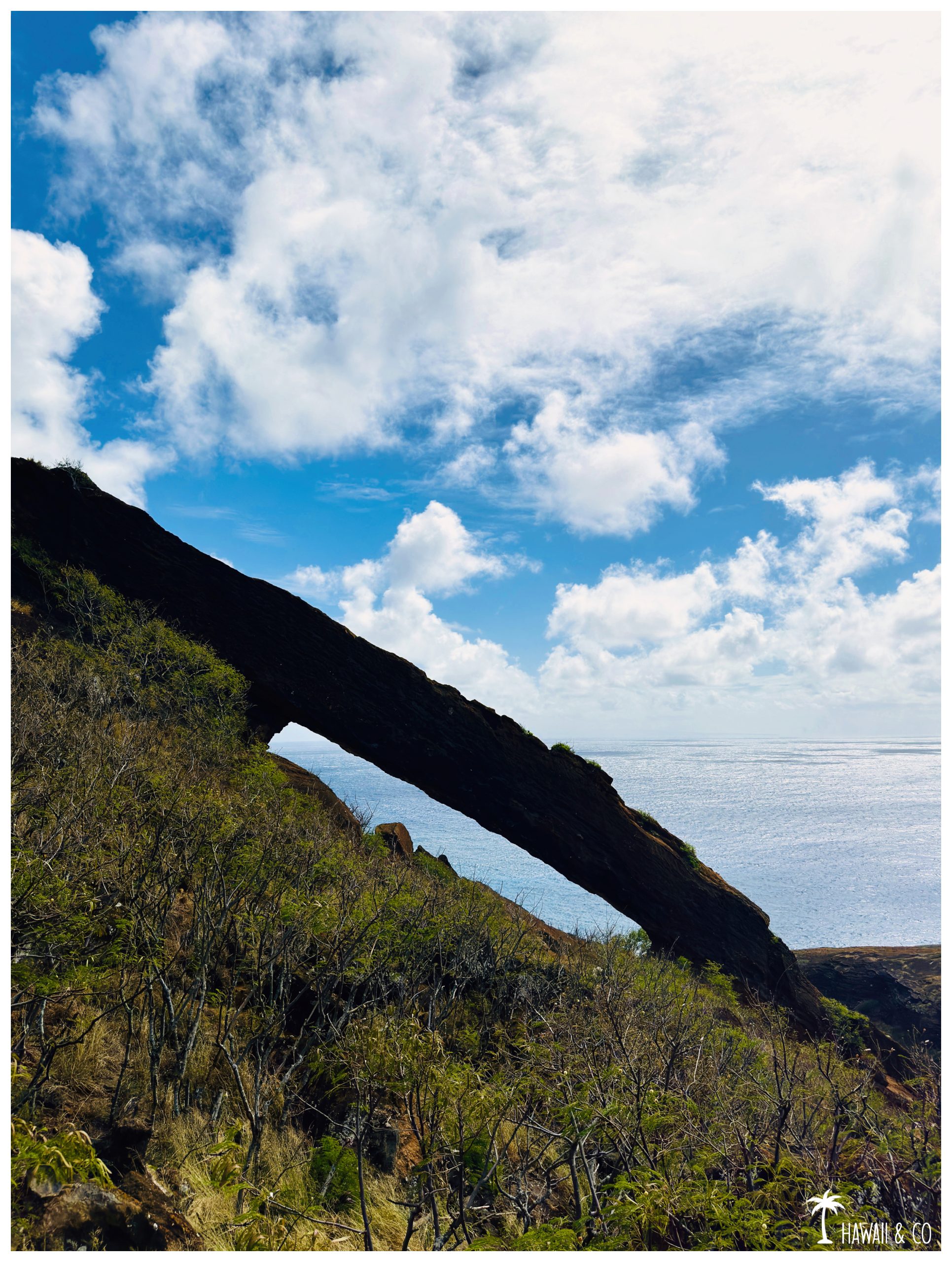
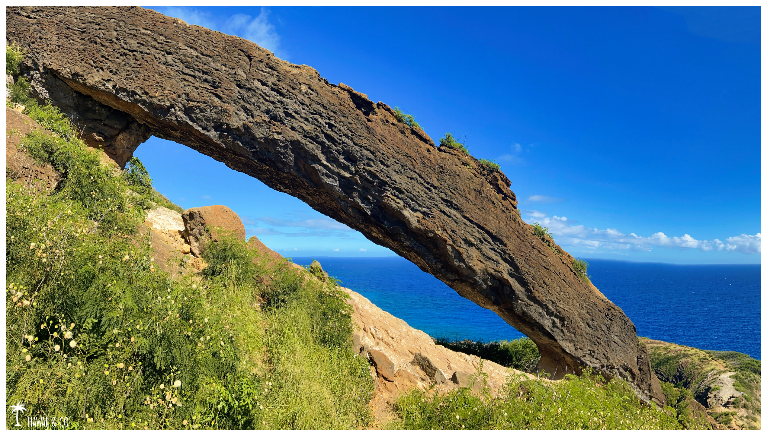
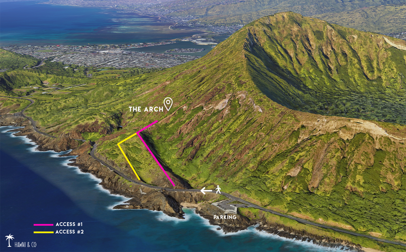
But there is another trail on the southeast side. More accessible and shorter, it will lead you to a beautiful natural volcanic arch. His name: the Koko Crater Arch Trail.
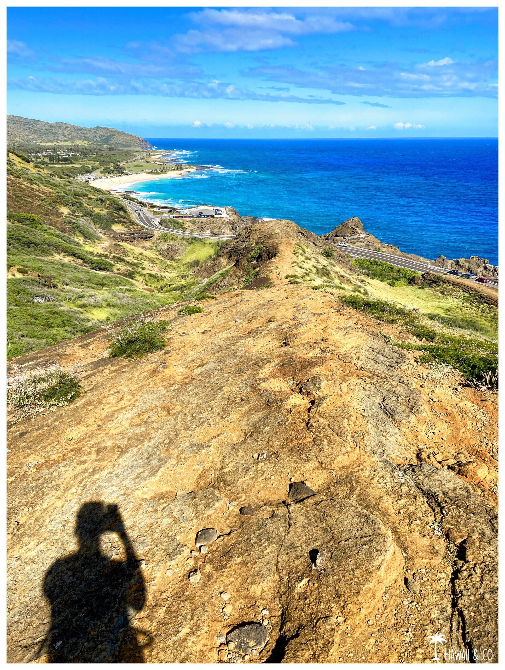
As a bonus you will have some iconic views of the south shore from Hanauma Bay to Alan Davis Beach !
This hike begins close to the Halona blowhole lookout. Very busy the parking lot might be full but don’t worry: cars comes and goes permanently so you’ll always ends up finding a spot quickly.
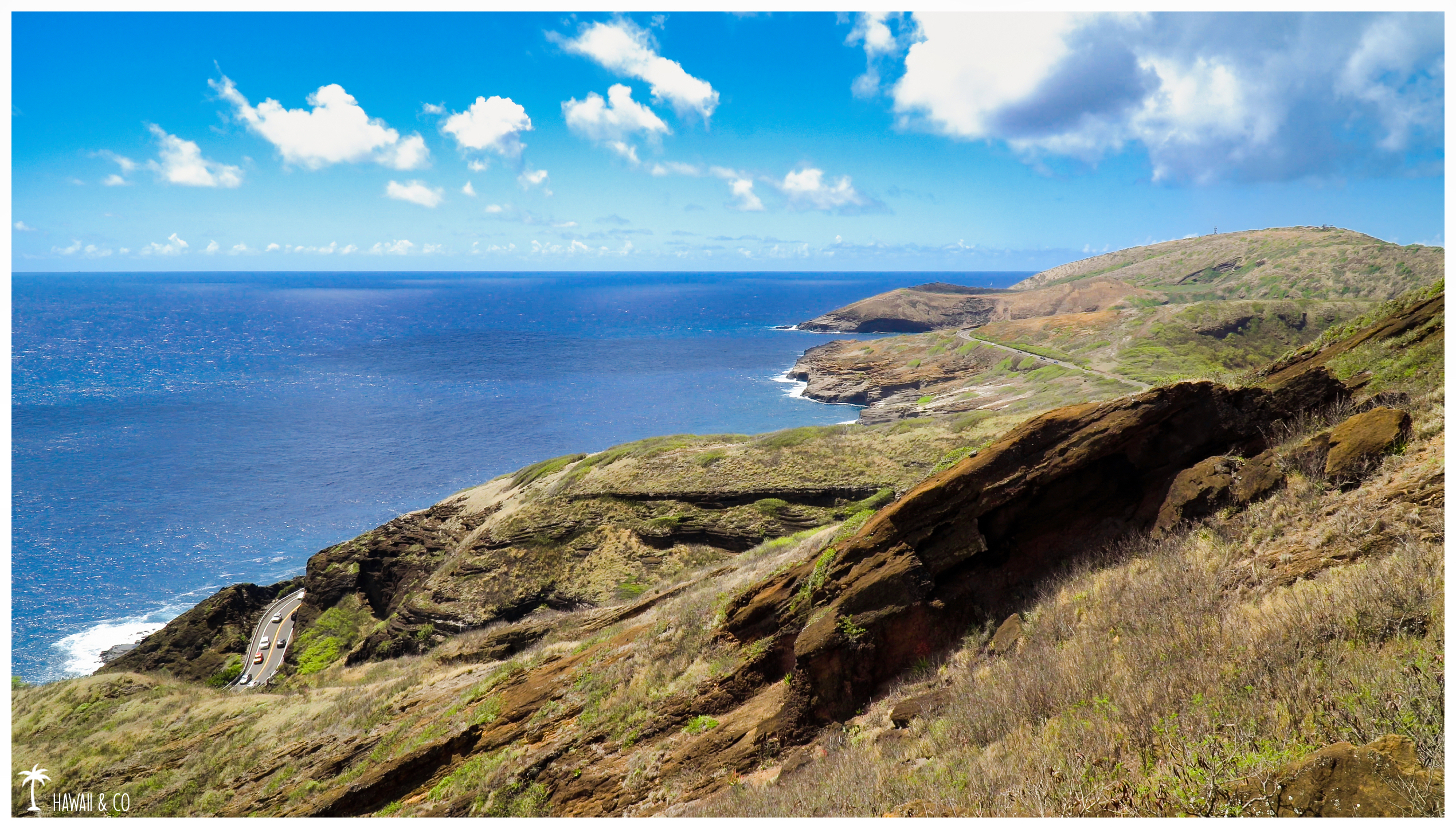
From the start, the scenery is already spectacular with a 180° panorama offering stunning views of the coast.
On a clear day, you can even spot the islands of Molokai, Lanai and Maui !
The first part of the Koko Arch Trail climbs slightly. It runs along the road to get you in the axis of the arch. Looking on your right you can already see it in the distance.
Then the path turns right and becomes more and more steeper as you progress on the ridge line.
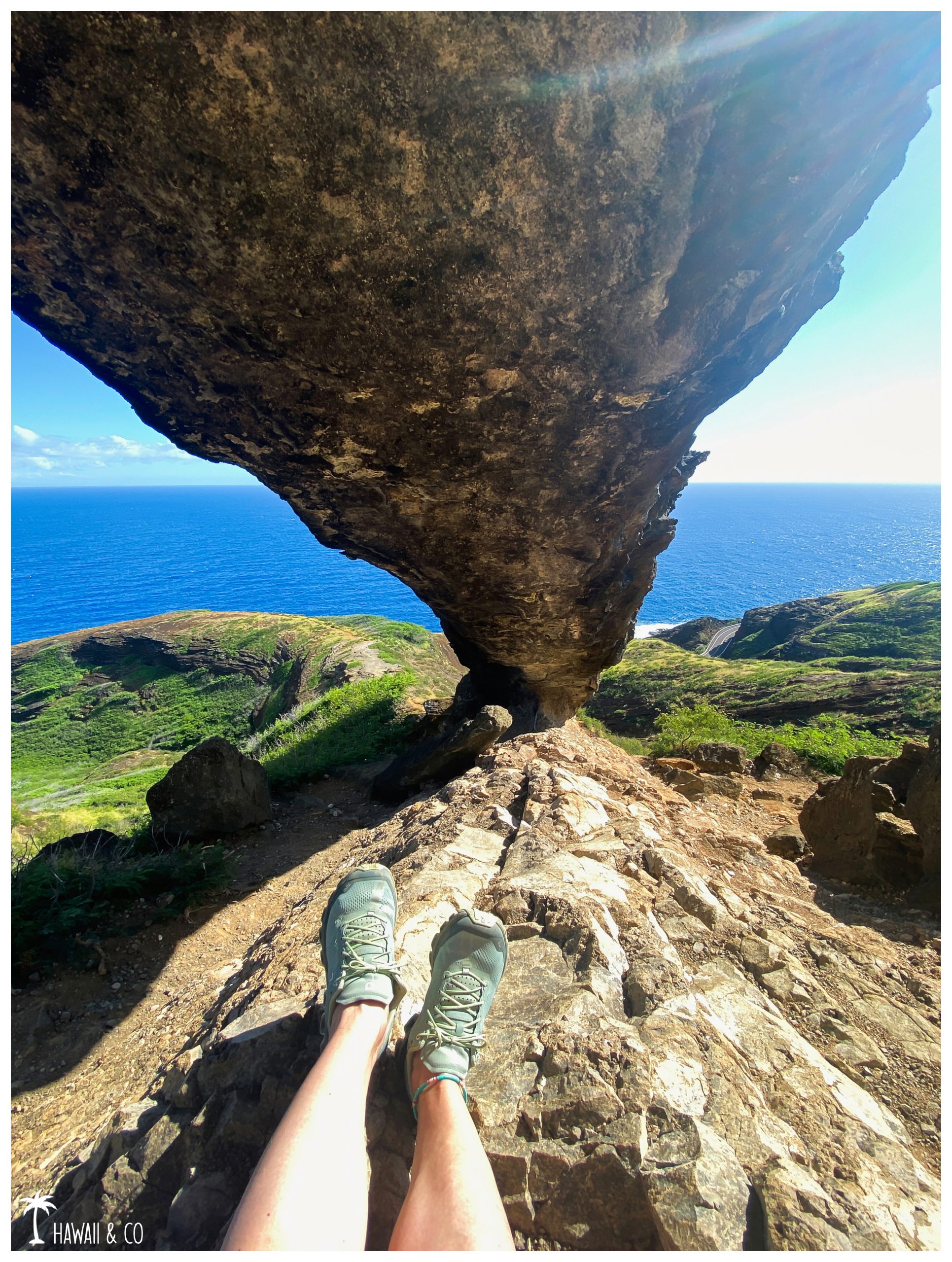
Once arrived at the bottom of the arch, you can either climb it ( be extremly careful ) or pass underneath to take beautiful pictures.
There is a lot of loose gravels near the arch which can make the access a bit tricky.
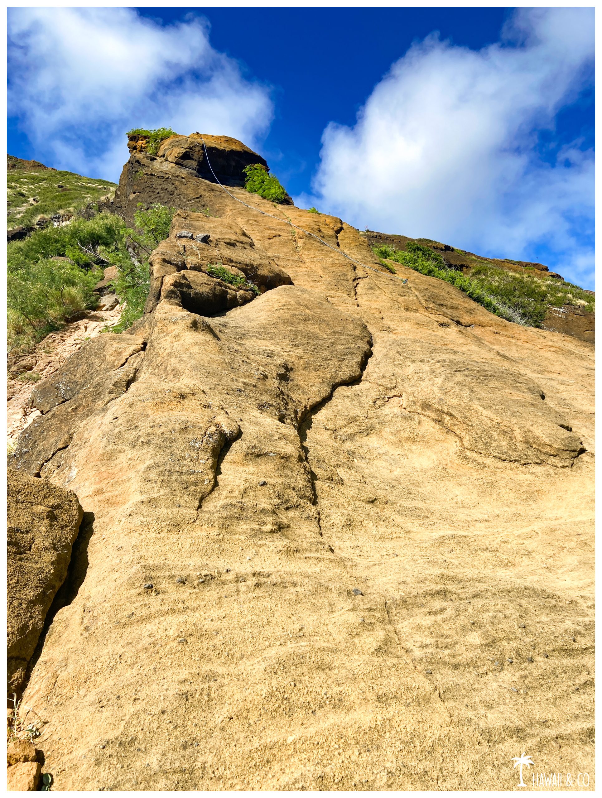
The access to the top of the arch is very steep and slippery so I suggest to have shoes with good grips ! The last time I did this hike ( February 2024 ) there was a rope fixed but I cannot guarantee it will still be there during your visit…
From here you can go down by the same way and have a swim at Halona Beach Cove. You can also enjoy the beauty of the Halona Blowhole Lookout. Here is a link for what to expect here: https://hawaiiandco.com//en/top-5-lookouts-oahu/
And If you feel more adventurous, you can continue above the arch towards the summit on the Koko Crater Rim Trail ! Once on the ridge of the crater, you can go up to the summit and join the stairs of the Koko Crater trail or go down towards Sandy Beach. But it will make the hike much longer !
Informations
1,5 Km roundtrip
1h
The easiest way to get to the Koko Crater Arch Trail is to park at the Halona Blowhole Lookout on Highway 72. Turn left and follow the road to mile marker 15. But be careful when crossing the road, trafic is often heavy.
Here you are in front of the main access.
Step over the rail and go down slightly before following the rocks on your left to return to the ridge. The path to follow will be easily guessed so don’t worry because it’s not well defined. There is only one way to get there !
A second access is just after the Japanese Fishing Shrine. You can even park here if you find a space.
The rocks form looks like big steps that lead you directly to the path.
For the way back I like going through the other access, making a loop because the view is pretty as we overlook the road and the Halona Cove.